


This article was automatically translated from the original Turkish version.
+2 More
Halfeti
Province | Türkiye Şanlıurfa | ||||||||
|---|---|---|---|---|---|---|---|---|---|
Region | Güneydoğu Anadolu | ||||||||
Surface Area | 646 km² | ||||||||
Elevation | 385 m | ||||||||
Cittaslow Membership | 2013 | ||||||||
Symbolic Product | Karagül | ||||||||
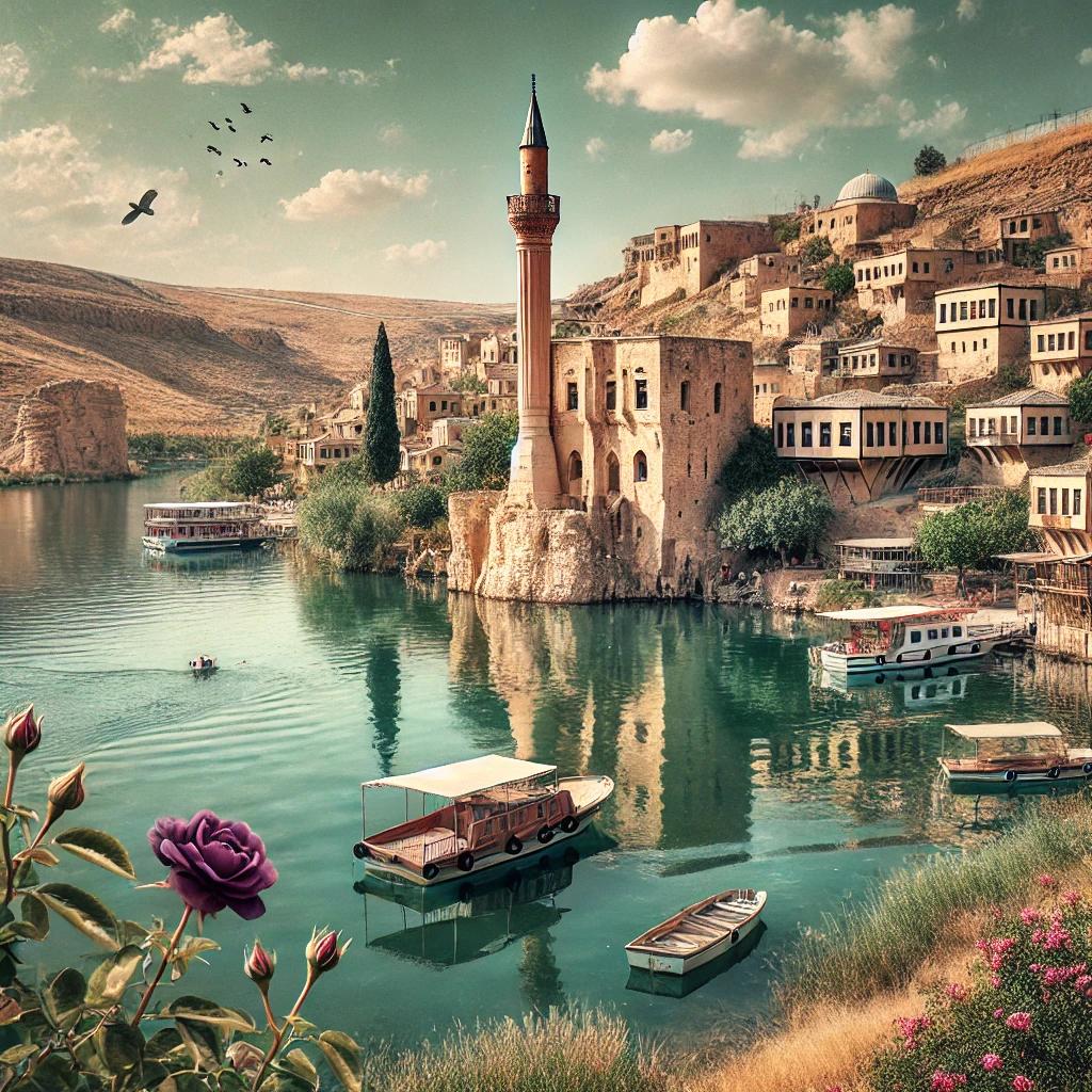
Halfeti is a district in southeastern Anatolia region of Türkiye,隶属于 Şanlıurfa province, known for its historical and natural richness. Located on the eastern bank of the Euphrates River, Halfeti has become an important tourist destination due to its geographical position and cultural heritage. Following the completion of the Birecik Dam in 2000, a large portion of the district was submerged under water, leading to significant changes in the region’s settlement patterns and economic structure. As a result, Halfeti was divided into “Old Halfeti” and “New Halfeti.” In 2013, it gained the title of Cittaslow (Slow City), raising awareness globally.
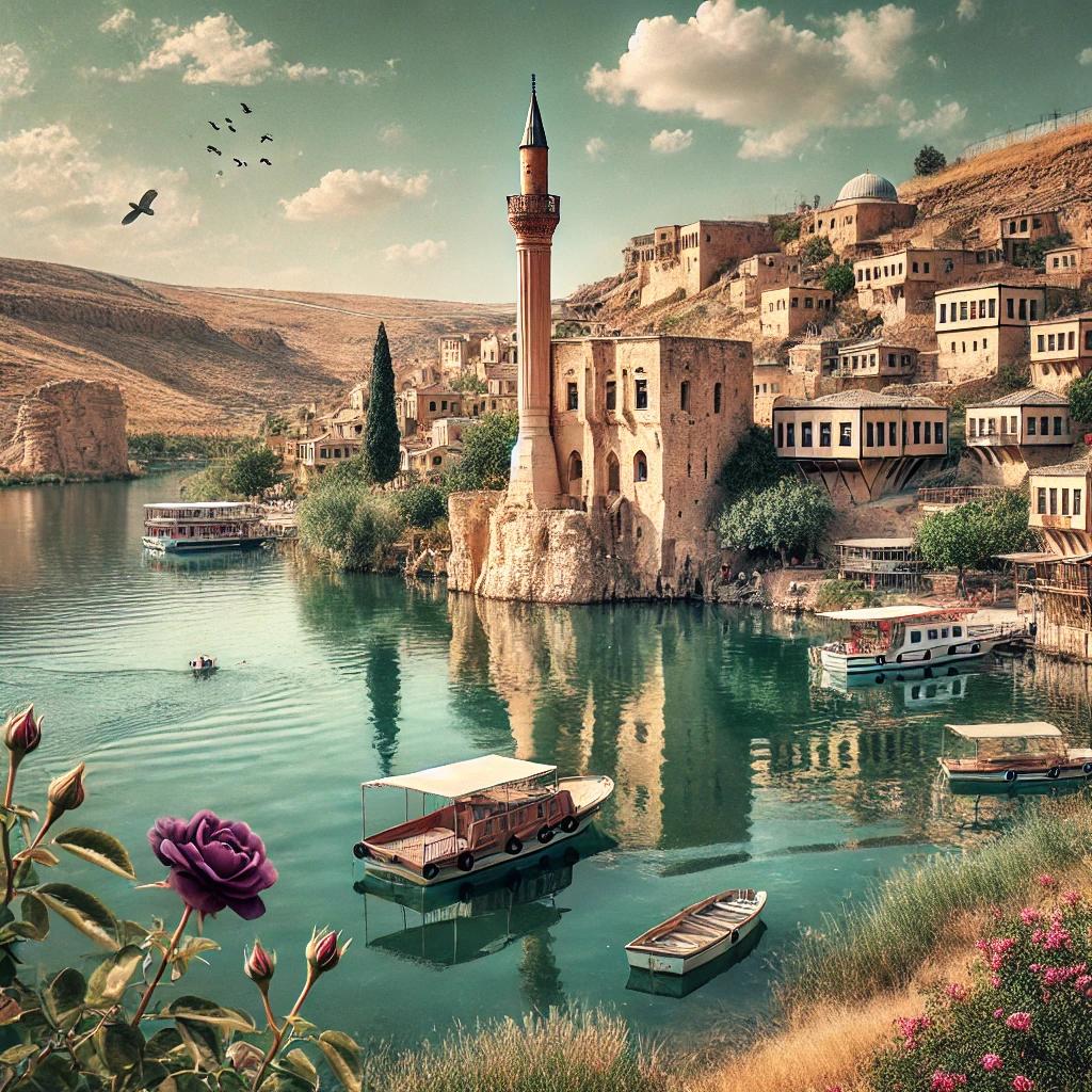
Generated by artificial intelligence.
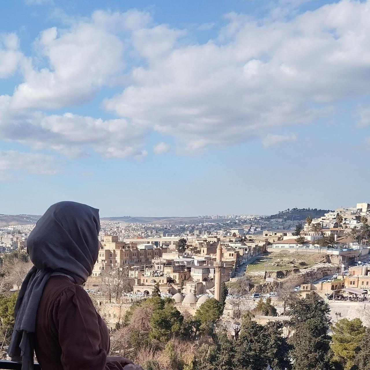
Halfeti is located west of Şanlıurfa. To its east lies Bozova, to the south Birecik, to the west the districts of Araban, Yavuzeli, and Nizip of Gaziantep, and to the north the district of Besni of Adıyaman. The district’s area ranges between 643 and 646 km². The former settlement was situated on the Euphrates River at an elevation of 385 meters, while the new Halfeti, built after the dam, is located 10 km to the east at Karaotlak.
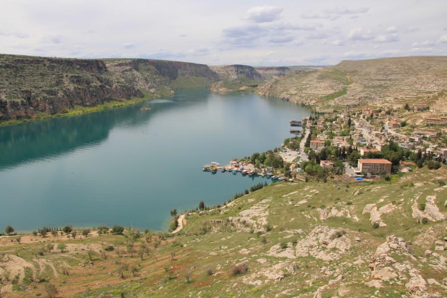
Halfeti (Source: Şanlıurfa Municipality)
Halfeti generally experiences a continental climate. However, the microclimate created by the Euphrates River and the Birecik Dam has resulted in a milder climate, particularly along the riverbanks. Summers are hot and dry, while winters are mild and receive little precipitation. This unique climate has enhanced the region’s natural diversity and enriched its vegetation cover.
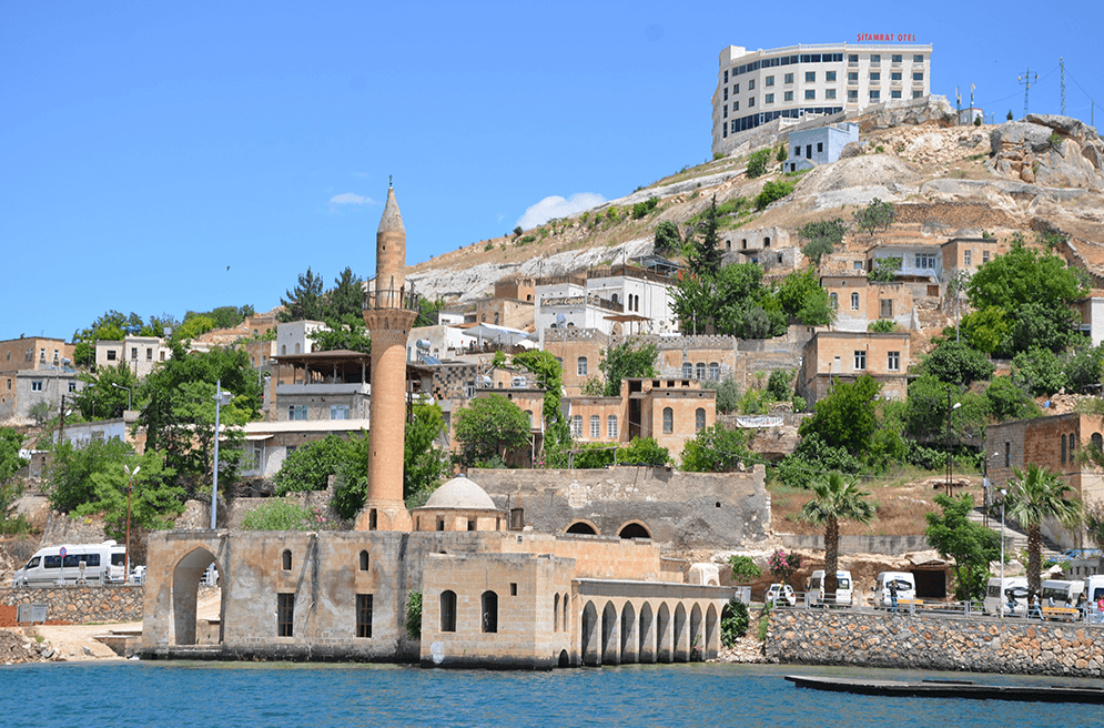
Halfeti (Source: Şanlıurfa Municipality)
Halfeti’s history extends back to the 20th century BCE. Known in antiquity as Shitamrat, it was conquered by the Assyrian King Shalmaneser III in 855 BCE. The Greeks called it Urima, the Syriacs Kal’a Rhomeyta or Hesna the Romaye, the Arabs Kal’at-ül Rum, and the Byzantines Romaion Koyla.
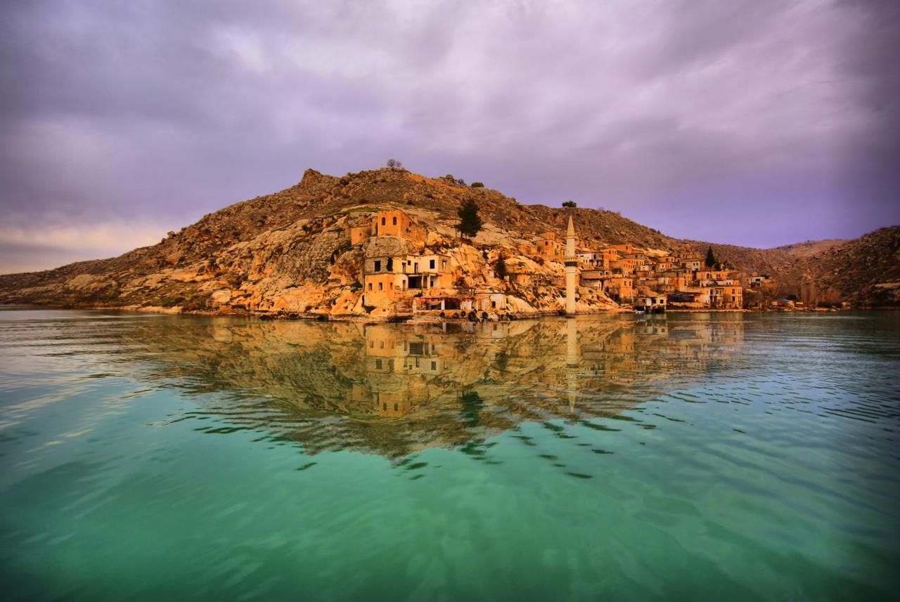
Halfeti (Source: Şanlıurfa Municipality)
In 1280, the district was besieged by the Mamluk commander Beysari and was conquered in 1290 by Mamluk Sultan Eşref, after which it was named Kal’at-ül Müslimin. Halfeti became part of the Ottoman Empire during the reign of Yavuz Sultan Selim and flourished due to its location along major trade routes. By the 19th century, it had become a center of agriculture and trade and one of the Ottoman Empire’s key administrative centers in the region.
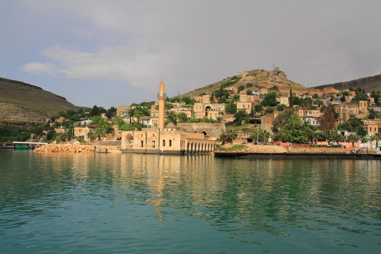
Halfeti (Source: Şanlıurfa Municipality)
Halfeti’s geography has been shaped by the Euphrates River and the dam lake. Although Old Halfeti lies submerged, the historical structures of Rumkale and its surroundings remain standing and continue to serve as a tourist filming center. The eastern part of the district is mountainous, while the western and northwestern areas are surrounded by fertile alluvial soils.
Halfeti’s soils are generally clay and clay-loam in structure. Rich in lime but poor in organic matter, these soils support the cultivation of gaziantep pistachios, grapes, almonds, pomegranates, quince, figs, and apples. After the dam’s construction, irrigated agricultural land decreased, but olive groves and pistachio orchards expanded.
Halfeti is renowned for the rare plant Black Rose (Rosa odorata 'Louis XIV'), which grows only in this region. This rose has a velvety appearance close to black and is a result of the region’s unique climate and soil conditions. The Black Rose was officially registered as a geographical indication in 2021 and has become synonymous with Halfeti.
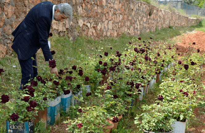
Halfeti’s Black Rose (Source: Anadolu Agency)
Located on the banks of the Euphrates River, Rumkale served as a military and religious center during the Roman, Byzantine, Mamluk, and Ottoman periods. This structure also holds significance for faith tourism and welcomes visitors via boat tours.
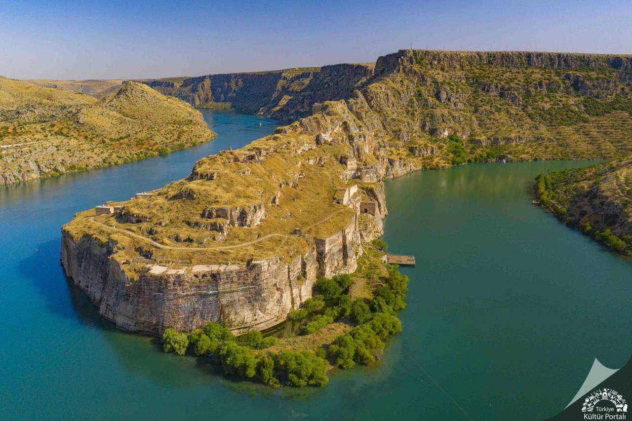
Rumkale (Source: Culture Portal)
Halfeti houses were constructed using the region-specific “Nahat Stone”. This stone hardens upon exposure to air, becoming durable. Ottoman and Ayyubid-era stone structures have largely preserved their architectural integrity.
According to 2008 data, Halfeti’s population was approximately 39,861, the majority of whom live in rural areas. The construction of the Birecik Dam submerged several villages, prompting relocation inland. New Halfeti follows a modern settlement plan, while Old Halfeti is preserved as a nostalgic and tourist center.
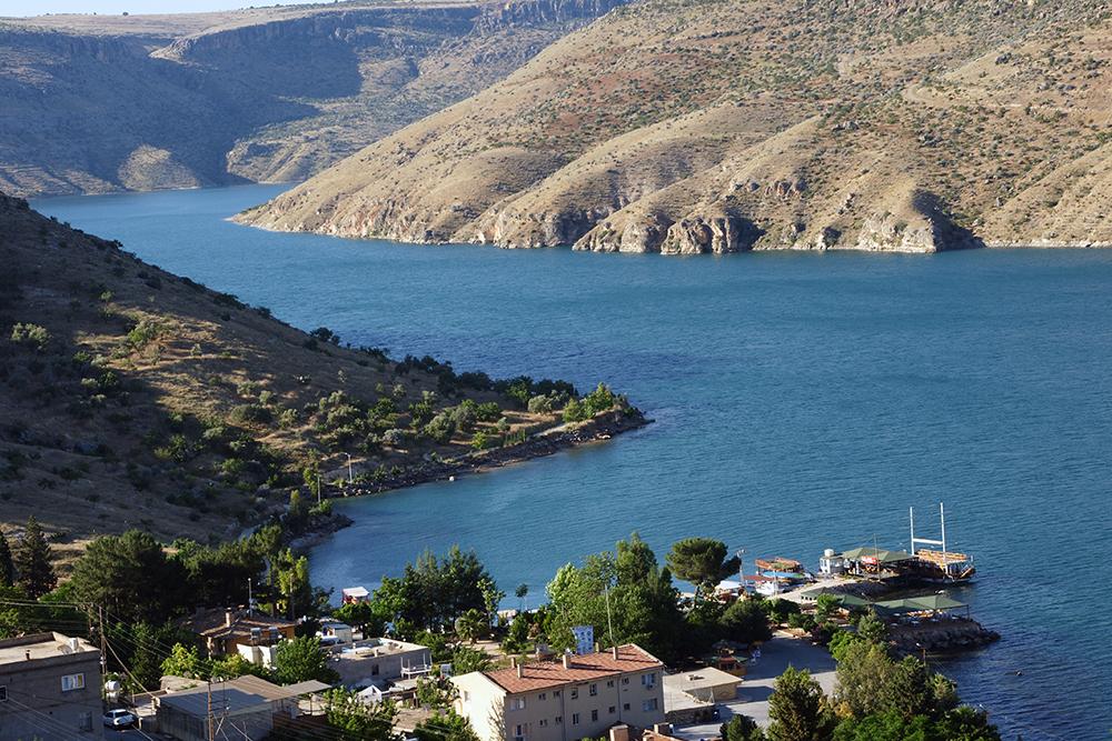
Halfeti (Source: Halfeti Municipality)
Halfeti’s economy is based on agriculture, animal husbandry, and tourism. Small-scale animal husbandry is common, especially in rural villages. Industry has not developed significantly, but sectors such as handicrafts, gastronomy, and boat tourism have experienced revitalization alongside tourism.
Halfeti presents unique examples of Southeastern Anatolian cuisine culture. The annual Fruit Dishes Festival held in the district aims to promote this distinctive culinary heritage.
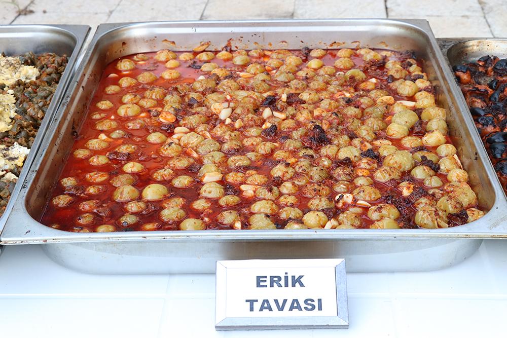
Local Erik Tava (Source: )
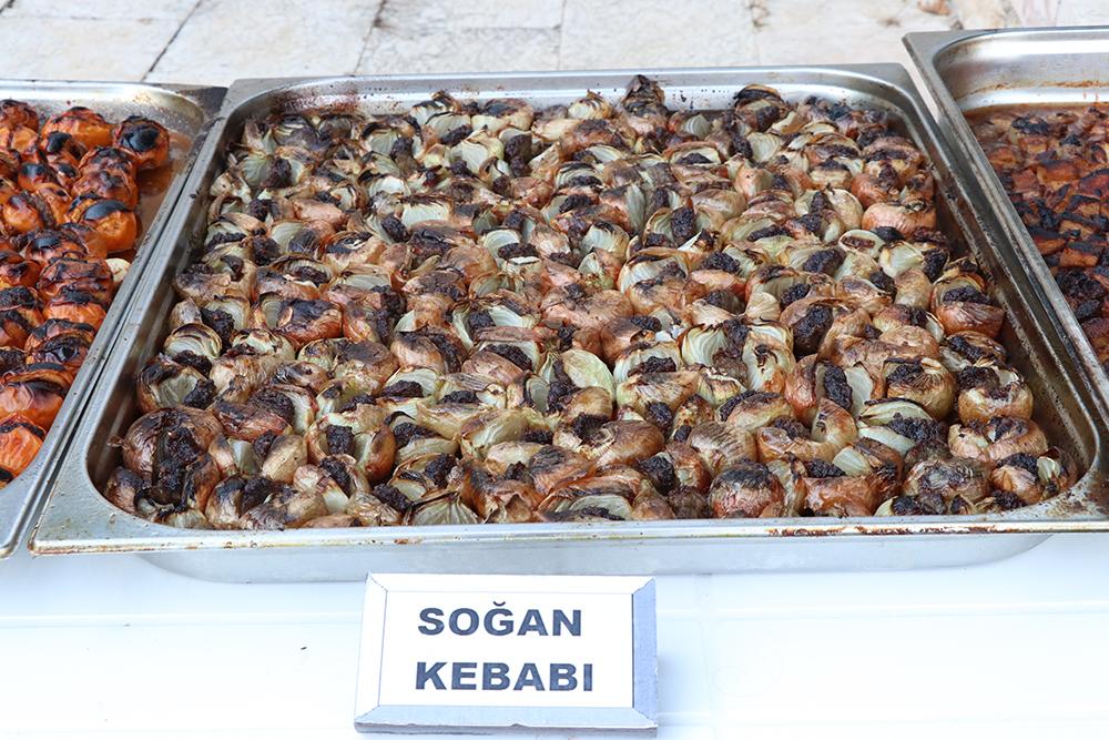
Local Soğan Kebabı (Source: Halfeti Municipality)
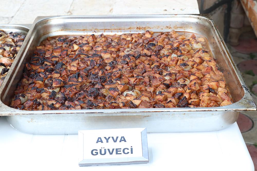
Local Ayva Güveci (Source: Halfeti Municipality)
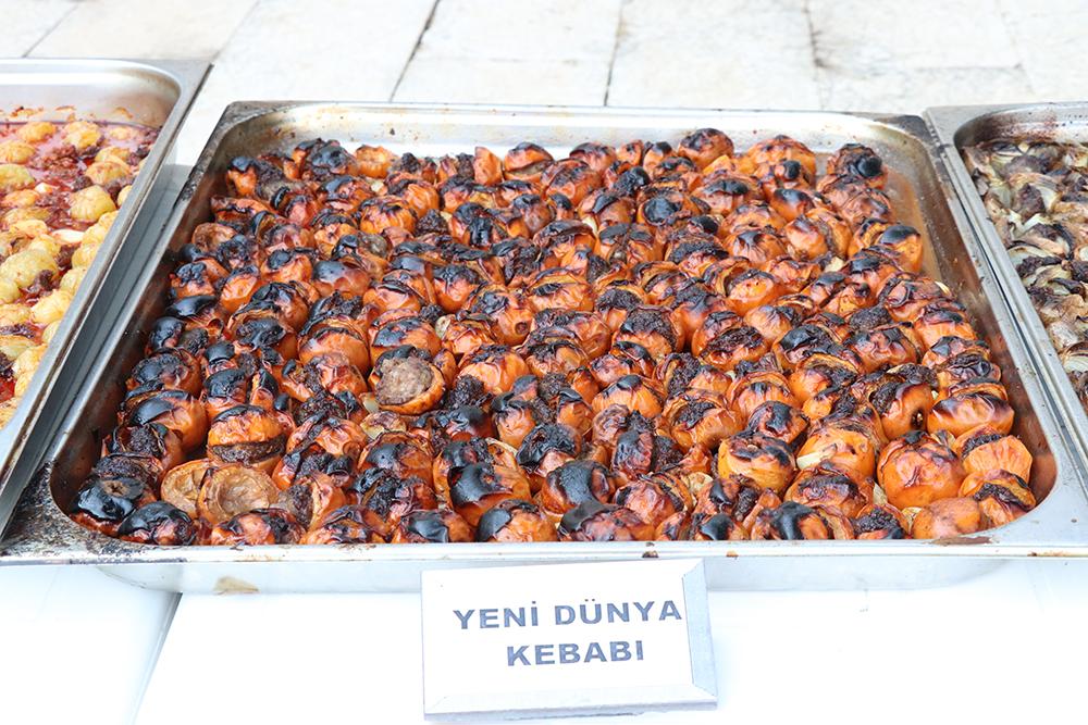
Local Yeni Dünya Kebabı (Source: Halfeti Municipality)
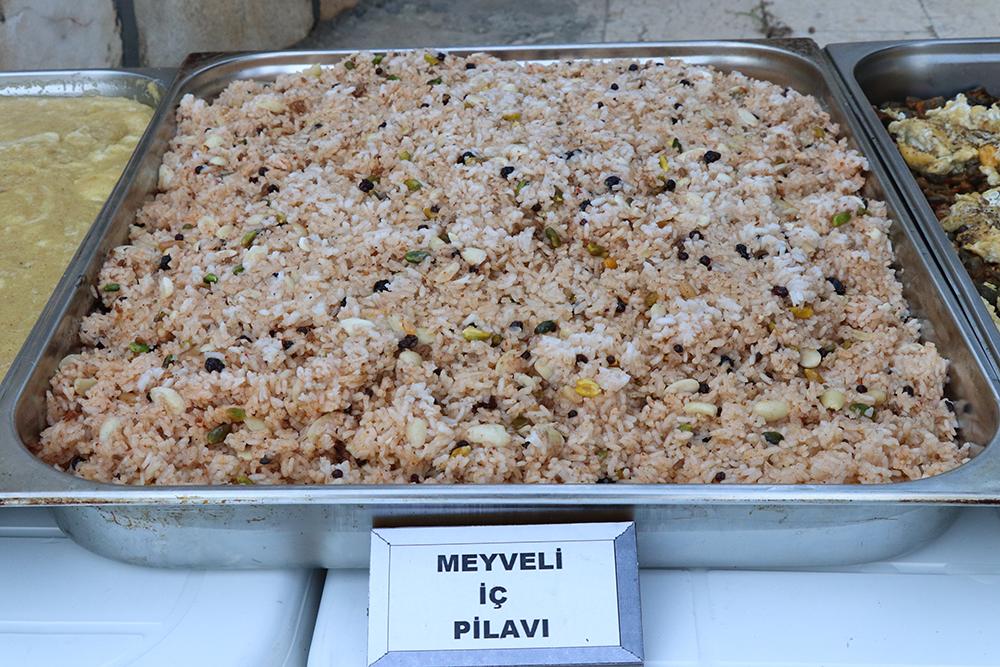
Local Pilav (Source: Halfeti Municipality)
In 2013, Halfeti became Turkey’s 9th Slow City by joining the Cittaslow network. With this designation, efforts began to preserve traditional lifestyles, environmental policies, and local culture.
Halfeti is, in essence, a landscape where time seems to move slowly, both through its past and its present way of life. With its historical heritage, cultural richness, and Slow City status, it stands as one of Türkiye’s valued assets. Through the Cittaslow movement, a sustainable development approach has been embraced, balancing agriculture, tourism, and cultural life. Integrated with the symbol of the Black Rose, Halfeti is a settlement distinguished by its natural landscape, historical structures, and traditional architecture.
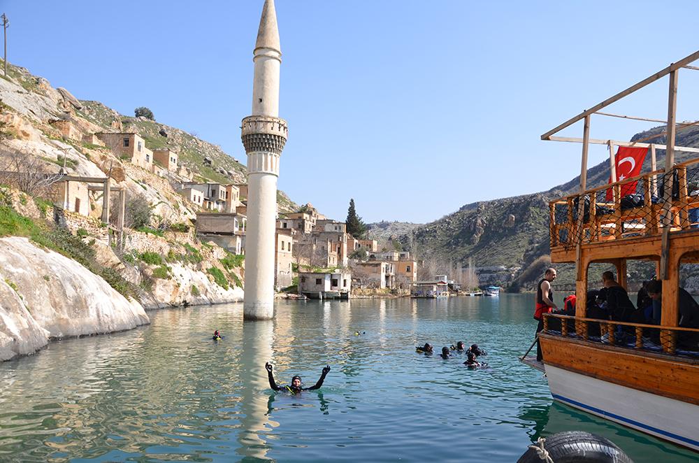
Halfeti (Source: Halfeti Municipality)
Boyraz, Zeki, and M. Salih Bostancı. 2016. “Kuruluş Yeri, Gelişimi ve Fonksiyon Özellikleri Bakımından Yeni Halfeti (Şanlıurfa).” *Zeitschrift für die Welt der Türken / Journal of World of Turks* 8 (1): 83–107.https://www.academia.edu/83642220/Kurulu%C5%9F_Yeri_Geli%C5%9Fimi_ve_Fonksiyon_%C3%96zellikleri_Bak%C4%B1m%C4%B1ndan_Yeni_Halfeti_%C5%9Eanl%C4%B1urfa_
Bulut, Ayşegül, and Şenol Adıgüzel. “Türkiye’den Bir Sakin Kent Örneği: Halfeti.” *Ardahan Üniversitesi İktisadi ve İdari Bilimler Fakültesi Dergisi* 6, no. 1 (2024): 48–56.https://doi.org/10.58588/aru-jfeas.1410498
T.C.Halfeti Kaymakamlığı Governorship. "Halfeti Hakkında Genel Bilgiler." Halfeti District Governorship Official Website. Accessed April 10, 2025.
Halfeti
Province | Türkiye Şanlıurfa | ||||||||
|---|---|---|---|---|---|---|---|---|---|
Region | Güneydoğu Anadolu | ||||||||
Surface Area | 646 km² | ||||||||
Elevation | 385 m | ||||||||
Cittaslow Membership | 2013 | ||||||||
Symbolic Product | Karagül | ||||||||
Geographical Location, Area, and Climate
Location and Boundaries
Climate and Vegetation
Historical Development
Ancient and Medieval Periods
Islamic and Ottoman Periods
Natural Structure and Ecosystem
Soil and Agriculture
Black Rose
Cultural Heritage and Architecture
Rumkale
Stone Architecture and Traditional Buildings
Population and Settlement Pattern
Economy and Livelihood Sources
Local Cuisine and Gastronomic Culture
Notable Local Dishes
Tourism and Cittaslow Status
Cittaslow (Slow City) Identity
Tourist Activities