`ecotourism` Related Article Results

Halfeti (District)
Halfeti is a district in southeastern Türkiye,隶属于 Şanlıurfa Province, known for its historical and natural richness. Located along the Euphrates River, Halfeti has become a tourist destination due to its geographical position and cultural heritage. With the completion of the Birecik Dam in 2000, a large part of the district was submerged, leading to significant changes in the region’s settlement patterns and economic structure. Following this development, Halfeti was divided into “Old Halfeti” a
EN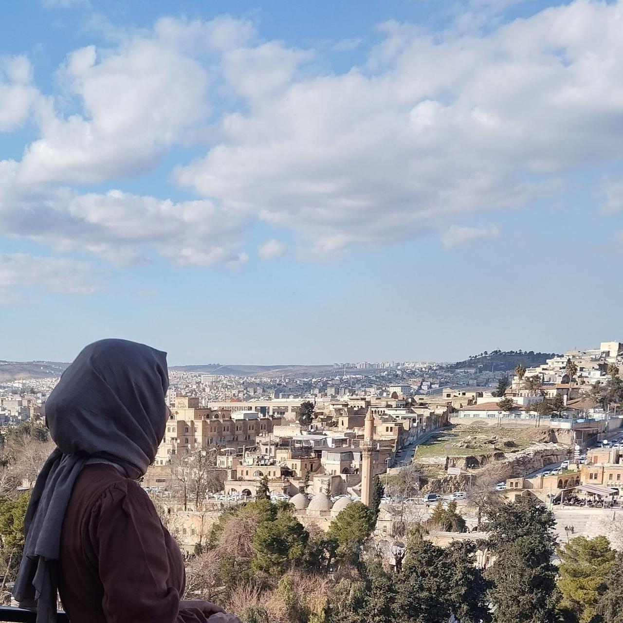
Sevgi Kıraç

Abacı Fairy Chimneys
The Abacı Fairy Chimneys, located within the boundaries of Abacı Village in the Kızılcahamam district of Ankara, are one of the unique natural formations reflecting the region’s volcanic past. These structures, of significant geomorphological importance, are surrounded by a recreational area developed and supported by rural tourism initiatives focused on preserving the natural heritage.Geological Characteristics and Formation ProcessFairy chimneys are characteristic geological formations observe
EN
Zeynep Şule Bingöl

Beyşehir Lake
Beyşehir Lake is located in southwestern Türkiye, within the boundaries of the provinces of Konya and Isparta. As a component of the Lake Region, it is the largest natural freshwater lake in Anatolia. The lake has a surface area of 651 km², stretches approximately 50 km in length from northwest to southeast, and varies in width between 14 and 26 km. Its elevation above sea level ranges from 1,115 to 1,121 metres, with an average depth of 8–9 metres and a maximum depth of approximately 10–12 metr
EN
Sıla Ayas

Göksu Delta
The Göksu Delta, also known as the Silifke Plain, is an internationally significant wetland located within the boundaries of the Silifke district in Mersin Province, on the Mediterranean coast of southern Türkiye. Covering an area of approximately 15,000 hectares, the delta was formed where the Göksu River flows into the sea. It encompasses lagoons, reed beds, saline marshes, dunes, agricultural lands and forested areas.Geographical Location and Physical StructureThe Göksu Delta is situated sout
ENZeynep Şule Bingöl

Zonguldak Bartın Karabük Development Project
Zonguldak-Bartın-Karabük (ZBK) Development Project is a regional development initiative designed to support economic, social and environmental development in Türkiye's West Black Sea Region. The project continues the ZBK Regional Development Project initiated in 1997 by the State Planning Organization. With the establishment of the Western Black Sea Development Agency (BAKKA) in 2010, regional development policies were made more systematic. The 2024-2028 TR81 Region Plan aims to accelerate the r
EN
Nazlı Kemerkaya

Ormanya
Located within the Kocaeli province and recognized as one of Europe's largest wildlife parks, Ormanya stands out for its sustainable ecotourism practices, nature education opportunities, and contributions to biodiversity. This project, which aims to blur the boundaries between urban life and the natural environment, is considered a holistic model of environmental awareness, biological conservation, and ecological living practices beyond simply being a recreational area. Ormanya serves as a pione
EN
Ahsen Güneş

Rafting
Rafting is an outdoor sport performed by paddling inflatable boats in fast-flowing rivers, directly exposed to natural conditions. This type of sport relies on utilizing the power of the water flow for propulsion and typically stands out for its nature that necessitates teamwork. Rafting is also characterized as a high-adrenaline nature activity. It can be done for recreational purposes as well as competitive sports events.Historical DevelopmentThe history of rafting dates back to the late 19th
EN
Elyesa Köseoğlu

Derebalık Plateau
Derebalık Yaylası is a high-altitude plateau located within the boundaries of Yığılca district, Düzce Province, renowned for its natural beauty and walking trails. The plateau exhibits the humid climatic characteristics of the Black Sea Region and is an important destination for both traditional transhumance practices and nature-based tourism.Geographical Location and Regional AccessDerebalık Yaylası is administratively affiliated with Yığılca district and lies approximately 25 kilometres from t
EN
Yusuf İslam Tuğla

Küp Waterfalls (Adana)
Küp Waterfalls are located in the Adana Province of Türkiye, on the southern slopes of the Taurus Mountains. Approximately 80 kilometers from the city center of Adana, the waterfalls consist of cascading water masses fed by natural sources and flowing through multiple tiers. The area is covered by forested terrain, and the waterfalls derive their name from the rock depressions and small pools formed around them.Geographical Features and HydrographyKüp Waterfalls are situated on the southern slop
EN
Zelal Çakar

Bölüklü Yayla (Zonguldak)
Bölüklü Yaylası is located within the boundaries of Gümeli village, in the Alaplı district of Zonguldak province, in the Western Black Sea Region. Situated at an elevation of approximately 1,100 metres, the plateau is positioned on a mountainous topography and is accessible by vehicle from Gümeli village. Access to the plateau is facilitated via stabilized roads, particularly during the summer months, with sections of asphalt pavement along the route. The plateau is about 35 kilometres from the
ENYusuf İslam Tuğla