

`naturetourism` Related Article Results
Tonya (District)
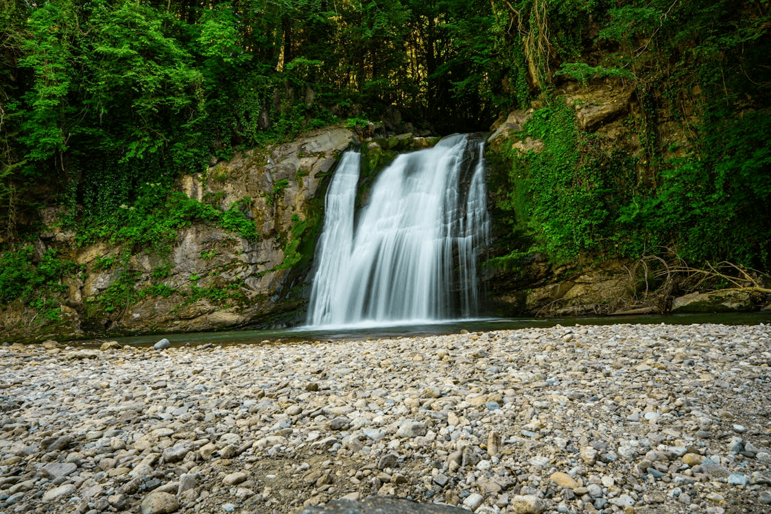
Tonya is a district of Trabzon Province in Türkiye’s Eastern Black Sea Region. It is known for its natural beauty and unique cultural structure, featuring lush green mountains, distinctive traditions, and a centuries-old tradition of handmade knife-making. It exhibits the characteristics of the Black Sea geography and is located approximately 65 kilometers from the city center of Trabzon. Tonya Kadıralak Yaylası. (Pexels) " image-alternate="" image-element-format="right"> History Tonya’s hist
EN
Arif Zahid Yüksel
Tonya (District)
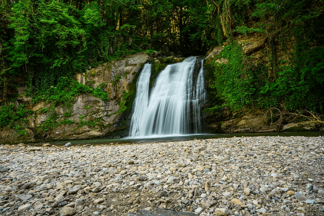
Tonya is a district of Trabzon province in the Eastern Black Sea Region of Türkiye. It is known for its natural beauty and unique cultural structure. The district features lush green mountains, distinctive traditions, and a centuries-old handcrafted knife-making heritage. It embodies the characteristics of the Black Sea geography and is located approximately 65 kilometers from the city center of Trabzon. History Tonya’s history extends back to antiquity. Archaeological research in the region ind
EN
Arif Zahid Yüksel
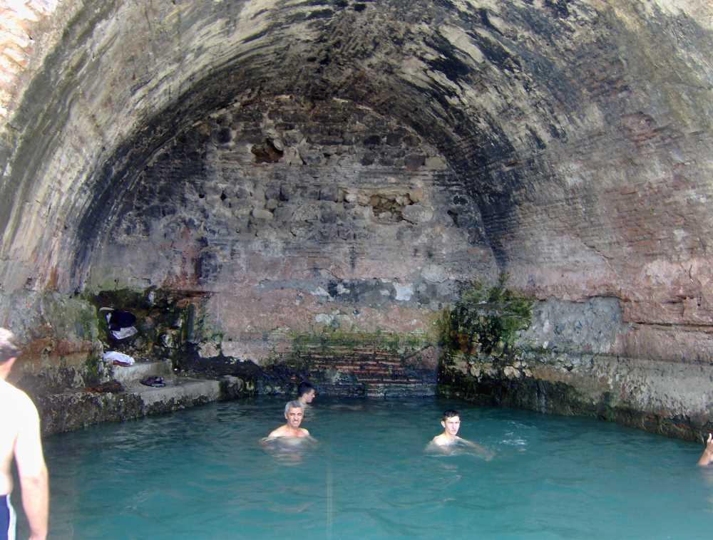
Yeniköy Summer Spa (Ayazma)
Yeniköy Yazlık (Ayazma) Ilıcası is a thermal water source located in the Gölcük district of Kocaeli, featuring sulfuric and calcareous properties with a history extending back to the late Eastern Roman period. This spa, which served as an important health center during the Roman, Byzantine, and Ottoman periods, continues to provide services in the field of health tourism today through modern facilities restored by the Gölcük Municipality.【1】 Geographical Location and Access Yazlık Ilıcası is sit
EN
Gözde Cabadak
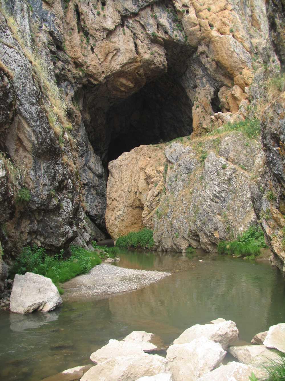
Kunav Cave
Kunav Cave is a natural formation located within the boundaries of the Varto district of Muş province in Türkiye’s Eastern Anatolia Region. It is situated near Kayadelen village, approximately 60 kilometers from the center of Muş province and 12 kilometers from the center of Varto district.【1】 The cave’s entrance is located within a deep canyon. Geomorphological and Physical Characteristics Kunav Cave is one of the rare cave types not commonly found in the Eastern Anatolian geography. Its geolog
EN
Muhammed Musab Kardaş

Delmece Yaylası
Delmece Yaylası is a high plateau located within the boundaries of the village of Teşvikiye in the Çınarcık district of Yalova province in Türkiye. This plateau is both a natural and cultural heritage site, characterized by its forested natural setting, expansive meadows, and the tradition of transhumance practiced during the summer months. Location and Access Delmece Yaylası lies in the foothills of the Samanlı Mountains, southeast of the city center of Yalova. The plateau’s elevation ranges be
EN
Yusuf İslam Tuğla

Kastamonu University (KÜ)
Kastamonu University (KÜ), a public university established on 1 March 2006 under Law No. 5467, conducts higher education activities in the province of Kastamonu. The university has been designated by the Council of Higher Education (YÖK) within the framework of regional development-oriented mission differentiation as an institution specializing in "Forestry and Nature Tourism." The main campus is the Kuzeykent Campus, located near the center of Kastamonu city. Some of its academic units and voca
EN
Nida Üstün
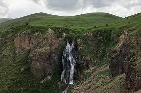
Dry (Flying Water) Falls
Susuz Şelalesi is a natural formation located within the boundaries of the Kars province in Eastern Anatolia and is recognized as one of the region’s significant geomorphological features. Locally known as "Su Uçan", "Suuçan", or "Uçan Su" due to the water cascading from a steep incline and being scattered by the wind, this waterfall is situated immediately beside the Kars–Ardahan highway (D-965). Administratively, the waterfall lies on the boundary between the villages of Ermişler and İncilipın
EN
Esra Nur Bulut
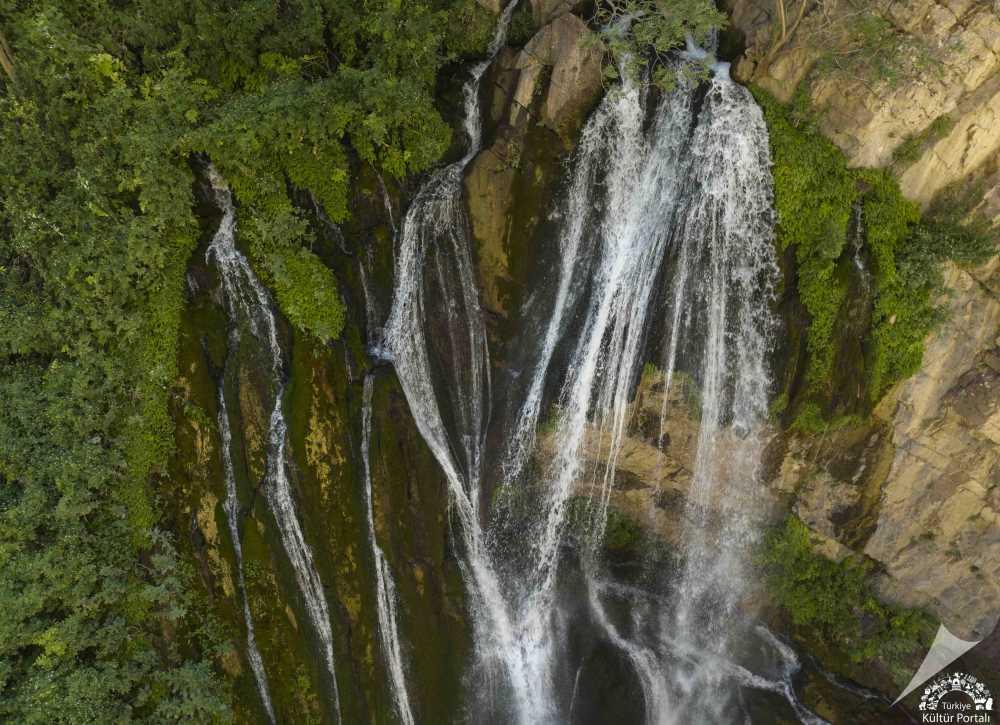
Kaval Waterfall
Kaval Waterfall is a hydrological feature located within the boundaries of Kaval Village in the Central District of Hakkâri, at the foothills of Kato Mountain, within a canyon formation.【1】 Geographical Location and Physical Characteristics Kaval Waterfall is situated in the village area of Kaval, under the Central District of Hakkâri, in a region surrounded by high-altitude mountains. The waterfall has formed as rivers flowing through rocky terrain cascade down from varying elevations.【2】 This
ENGözde Cabadak
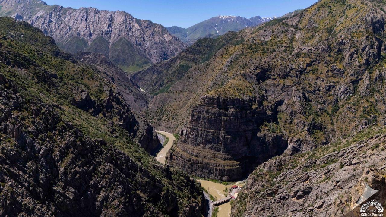
Zap Stream Valley
Zap River Valley is a valley system formed by the erosive activity of the Zap River, one of Türkiye's rivers with the highest discharge, located within the boundaries of Hakkari. It is characterized by steep slopes and deep canyon features. Physical and Hydrographic Structure The Zap River is the largest river in Hakkari province and flows into the Tigris River in the southern region of Mosul. The total length of the river is 310 kilometers, of which 189 kilometers lie within Türkiye's borders,
ENGözde Cabadak
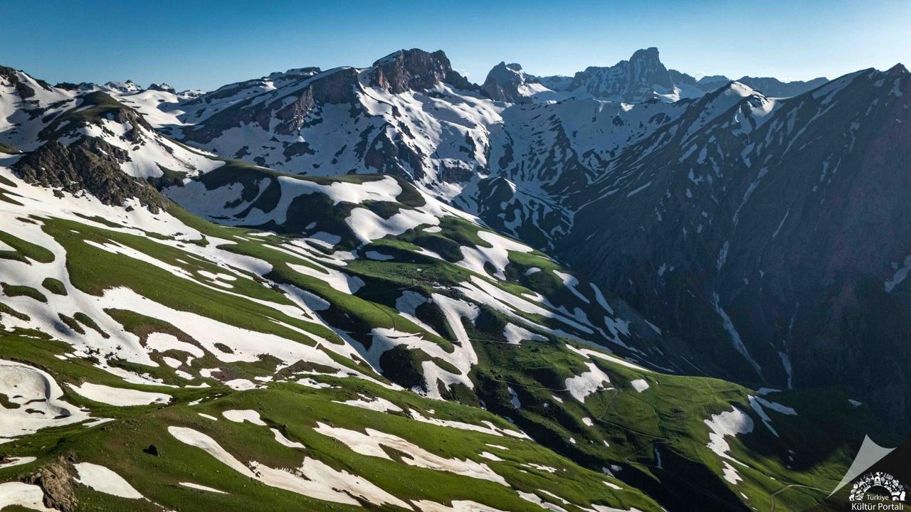
Valley of Paradise and Hell
Cennet Cehennem Vadileri, Hakkâri province’s central district, approximately 45 kilometers away, located at the foot of the Cilo Mountains at an elevation of about 3,500 meters above sea level, is a natural canyon.【1】 Geographical Location and Morphological Structure Cennet Cehennem Vadileri is located within the boundaries of Hakkâri province in Eastern Anatolia Region of Türkiye. Its precise address is recorded as 30110 Kırıkdağ/Hakkâri Central. The region’s primary morphological characteristi
ENGözde Cabadak