

This article was automatically translated from the original Turkish version.
+2 More
Location | Dry Kars Türkiye (Kars-Ardahan Black Road) | ||||||||
|---|---|---|---|---|---|---|---|---|---|
Elevation | ~75 Metres | ||||||||
Other Names | Water Flying, Flying Water | ||||||||
Water Source | Sıçça Creek, Snowmelt Water, Rainwater | ||||||||
Biodiversity | 24 Different Bird Species, Wild Animals and Plants | ||||||||
Prominent Feature | The Water with the Greatest Elevation Drop in the Region | ||||||||
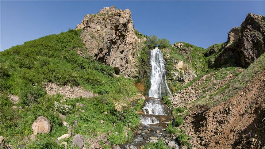
Susuz Şelalesi is a natural formation located within the boundaries of the Kars province in Eastern Anatolia and is recognized as one of the region’s significant geomorphological features. Locally known as "Su Uçan", "Suuçan", or "Uçan Su" due to the water cascading from a steep incline and being scattered by the wind, this waterfall is situated immediately beside the Kars–Ardahan highway (D-965). Administratively, the waterfall lies on the boundary between the villages of Ermişler and İncilipınar, both under the jurisdiction of Susuz district. While the surrounding land belongs to Ermişler village, the majority of the water sources feeding the waterfall lie within the boundaries of İncilipınar village. The waterfall enjoys an exceptionally accessible location, being 23 kilometers from the city center of Kars and 5.6 kilometers from the center of Susuz district. Due to its proximity of only 15 meters from the highway, it is easily reachable throughout the year.
Susuz Şelalesi (AA)
The formation of the waterfall is directly linked to the region’s complex geology, volcanic activity, and tectonic movements. The area where the waterfall is located consists of volcanic rocks dated to the Upper Miocene–Lower Pliocene epochs, known as “Kura volcanites.” Within this structure, andesitic lava flows and basaltic rocks dominate, with thicknesses ranging from 30 to 40 meters. The primary factor in the waterfall’s formation is active tectonism in the region. The valley of the Sıçça Deresi, the source stream of the waterfall, has been cut by the Erdağı–Taşbaşı Fault, which exhibits a left-lateral strike-slip motion. As a result of this faulting, the riverbed underwent deformation, changed direction, and turned sharply southward from its original northwest–southeast flow, abandoning its original valley. This tectonic-induced break in slope caused the water to plunge from a great height, forming the present-day waterfall. Additionally, landslides and fractures have developed along the valley due to faulting.
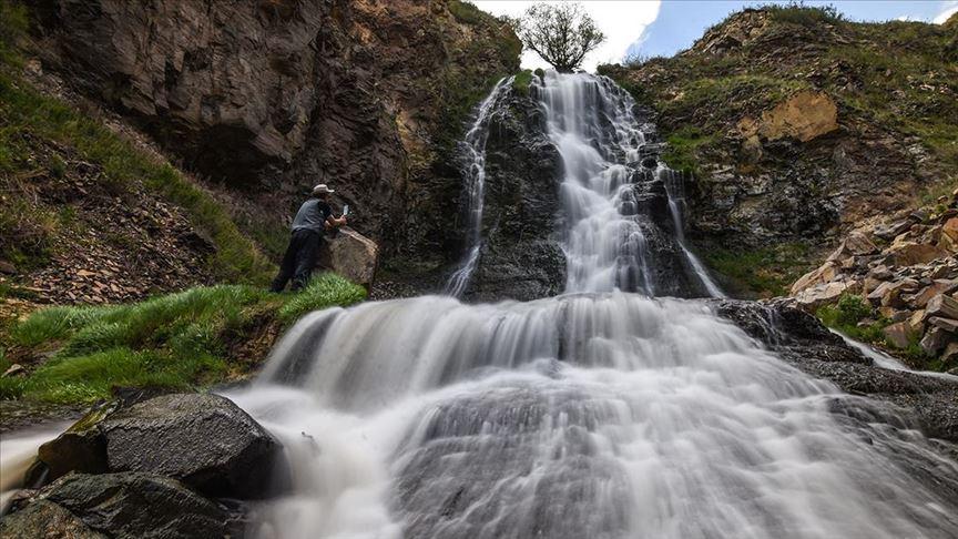
There are discrepancies among official institutions, media sources, and scientific measurements regarding the height of the waterfall. While the Kars Provincial Directorate of Culture and Tourism reports a drop height of 15 meters, the Susuz District Governorship and some media outlets cite 75 meters.【1】 However, detailed academic measurements conducted using DGPS/GNSS and Total Station instruments in the region indicate that the actual vertical drop of the waterfall is 48.9 meters. The water begins its fall at an elevation of 1882.5 meters and reaches the base at 1833.6 meters, with an incline angle of 81 degrees. At the base of the fall, erosion has formed a natural, oval-shaped pool known locally as a "devkazanı". This pool measures approximately 2.2 meters in width and 7.4 meters in length, with an average depth of about 80 centimeters. However, due to rock fragments falling from the cliffs, the pool is gradually filling over time.【2】
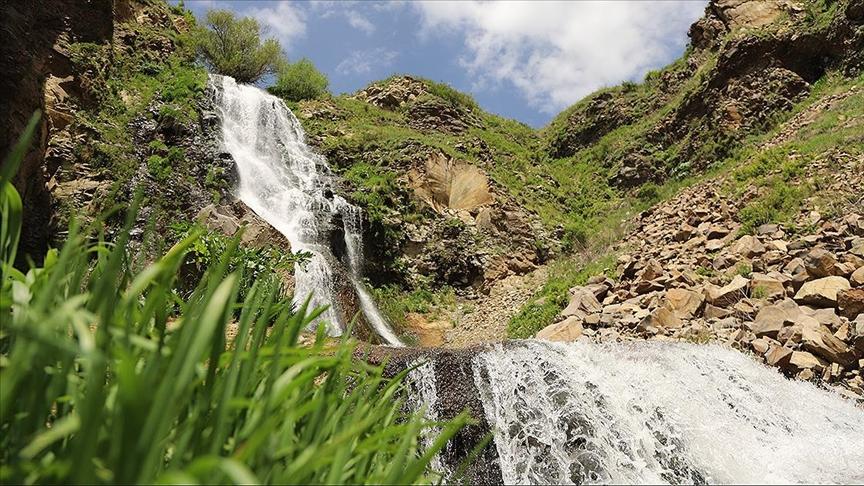
The primary water source feeding the waterfall is the stream known locally as Sıçça Deresi, a tributary of the Fehmiharabesi Deresi. This stream is fed by 32 distinct natural springs, rainfall, and snowmelt. The waterfall’s discharge varies significantly with the seasons. Due to the region’s harsh continental climate and a complex “rain-snow” regime, water levels peak in May and June during snowmelt and spring rains, when the waterfall reaches its most vigorous flow. Discharge begins to decline toward late summer and reaches its lowest levels in autumn, particularly in October. During winter months, air temperatures falling below freezing cause most of the waterfall to freeze. In past years, artificial reduction in water volume during summer months occurred due to diversion of part of the flow into irrigation channels; however, following damage to these channels during roadworks, it has been observed that the full flow has since returned to the waterfall’s course.
Susuz Şelalesi (AA)
The Susuz Waterfall and its surrounding valley constitute a biologically rich natural habitat. The region lies within the steppe vegetation belt of the Iran–Turan phytogeographic zone, as well as an area of anthropogenic steppe species. The flora identified around the waterfall includes mountain daisy (Anthemis montana), hawkweed (Centaurea depressa), wild carnation (Dianthus calocephalus), wild rose/briar (Rosa canina), cuckoo flower, partridge pea, meadow cranesbill, and various species of Trifolium. The fauna of the valley supports 24 different bird species. Observed bird species include the dipper (Cinclus cinclus), hoopoe, mountain wheatear, raven, chough, golden eagle (Aquila chrysaetos), rock partridge, kestrel, rock swallow, and falcons, among other raptors and songbirds. Additionally, numerous butterfly species have been recorded in the valley, including the yellow admiral, atalanta, thistle butterfly, large blue, and Anatolian white.【3】
As the tallest waterfall in Kars province and due to its accessible location along the main highway, the waterfall is a significant tourist attraction. The Susuz District Governorship has developed the “Susuz Waterfall Recreation Area” project, which includes viewing terraces and picnic areas for visitors. Tourists can observe the waterfall from the viewing terrace and descend to the base to take photographs. Particularly during summer months, the site is used as a day-trip destination by local residents and transit travelers, while its frozen appearance in winter also draws visitors. There are no accommodation facilities in the area, and it is primarily visited for short stays. Additionally, it has been noted that expansion works on the adjacent highway and natural erosion in the valley have increased the risk of landslides, necessitating measures to ensure both road safety and the preservation of the natural formation.
Anadolu Ajansı. "'Uçan su' Susuz Şelalesi, kar ve yağmur sularıyla daha coşkun akıyor." Accessed January 3, 2026.https://www.aa.com.tr/tr/yasam/ucan-su-susuz-selalesi-kar-ve-yagmur-sulariyla-daha-coskun-akiyor/2915485
Anadolu Ajansı. "Doğal güzellikleriyle dikkati çeken Susuz Şelalesi'nde Kovid-19 sessizliği." Accessed January 3, 2026.https://www.aa.com.tr/tr/turkiye/dogal-guzellikleriyle-dikkati-ceken-susuz-selalesinde-kovid-19-sessizligi/1858676
Anadolu Ajansı. "Kars'taki Susuz Şelalesi yağışlarla daha gür akıyor." Accessed January 3, 2026.
Kars İl Kültür veTurizm Bakanlığı. "Serhat Şehrin Doğal Güzellikleri." Accessed January 3, 2026.
Sevindi, Cemal. "Susuz Çağlayanı (Susuz-Kars) ve Turistik Potansiyeli." *Erzincan Üniversitesi Sosyal Bilimler Enstitüsü Dergisi* 4, no. 2 (2011): 325-352. Accessed January 3, 2026.https://dergipark.org.tr/tr/pub/erzisosbil/article/80861
T.C.Susuz Kaymakamlığı Governorship. "Susuz Şelalesi." susuz.gov.tr. Accessed January 3, 2026.https://www.susuz.gov.tr/susuz-selalesi
[1]
T.C. Susuz Kaymakamlığı, "Susuz Şelalesi," susuz.gov.tr, Erişim tarihi 3 Ocak 2026, https://www.susuz.gov.tr/susuz-selalesi; Anadolu Ajansı, "'Uçan su' Susuz Şelalesi, kar ve yağmur sularıyla daha coşkun akıyor," Anadolu Ajansı, Erişim tarihi 3 Ocak 2026, https://www.aa.com.tr/tr/yasam/ucan-su-susuz-selalesi-kar-ve-yagmur-sulariyla-daha-coskun-akiyor/2915485
[2]
Cemal Sevindi, "Susuz Çağlayanı (Susuz-Kars) ve Turistik Potansiyeli," Erzincan Üniversitesi Sosyal Bilimler Enstitüsü Dergisi 4 (2), (2011): 340, Erişim tarihi 3 Ocak 2026, https://dergipark.org.tr/tr/pub/erzisosbil/article/80861
[3]
Cemal Sevindi, "Susuz Çağlayanı (Susuz-Kars) ve Turistik Potansiyeli," Erzincan Üniversitesi Sosyal Bilimler Enstitüsü Dergisi 4 (2), (2011): 336, Erişim tarihi 3 Ocak 2026, https://dergipark.org.tr/tr/pub/erzisosbil/article/80861; Kars İl Kültür ve Turizm Müdürlüğü, "Serhat Şehrin Doğal Güzellikleri," T.C. Kültür ve Turizm Bakanlığı, Erişim tarihi 3 Ocak 2026, https://kars.ktb.gov.tr/TR-54879/serhat-sehrin-dogal-guzellikleri.html

Location | Dry Kars Türkiye (Kars-Ardahan Black Road) | ||||||||
|---|---|---|---|---|---|---|---|---|---|
Elevation | ~75 Metres | ||||||||
Other Names | Water Flying, Flying Water | ||||||||
Water Source | Sıçça Creek, Snowmelt Water, Rainwater | ||||||||
Biodiversity | 24 Different Bird Species, Wild Animals and Plants | ||||||||
Prominent Feature | The Water with the Greatest Elevation Drop in the Region | ||||||||
No Discussion Added Yet
Start discussion for "Dry (Flying Water) Falls" article
Geological Structure and Formation Process
Physical Characteristics and Dimensions
Hydrological Characteristics and Climatic Influences
Flora and Fauna
Tourism Potential and Usage