

`archaeological-excavation` Related Article Results
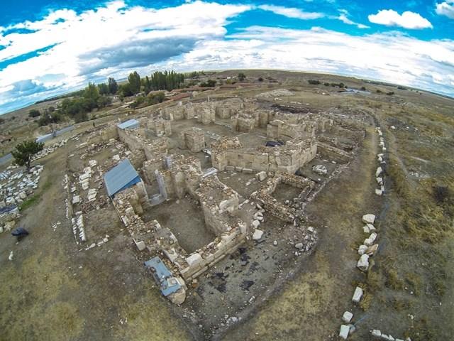
Ancient City of Amorium
The Ancient City of Amorium is an archaeological settlement located within the boundaries of Hisar Neighborhood of the town of Davulga, in the district of Emirdağ, Afyonkarahisar Province, Turkey. Situated in the region of Phrygia during Antiquity, Amorium is a significant settlement that bears the traces of seven different civilizations, from the Hittites to the Ottomans, and has witnessed approximately 4,000 years of uninterrupted habitation. The city is divided into two main sections: the Low
EN
Melahat Pamuk
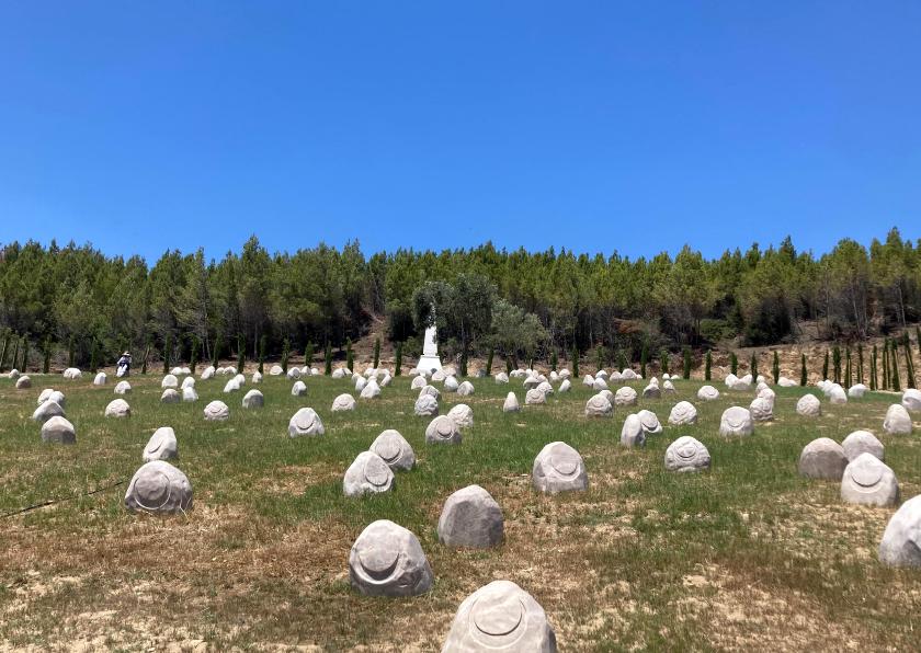
Süngübayırı Martyrdom Site
Süngü Bayırı Şehitliği is a memorial located on the ridge immediately behind the Turkish front line, at the southern boundary of the Arıburnu Front on the historic Gallipoli Peninsula, the site of the Çanakkale Battles.【1】 Geographically, the memorial lies within the boundaries of Eceabat district of Çanakkale Province and is situated along the route between the 57th Regiment Memorial and Conkbayırı.【2】 Historical Background and Battles Land battles at the Arıburnu Front began on 25 April 1915 w
EN
Gözde Cabadak
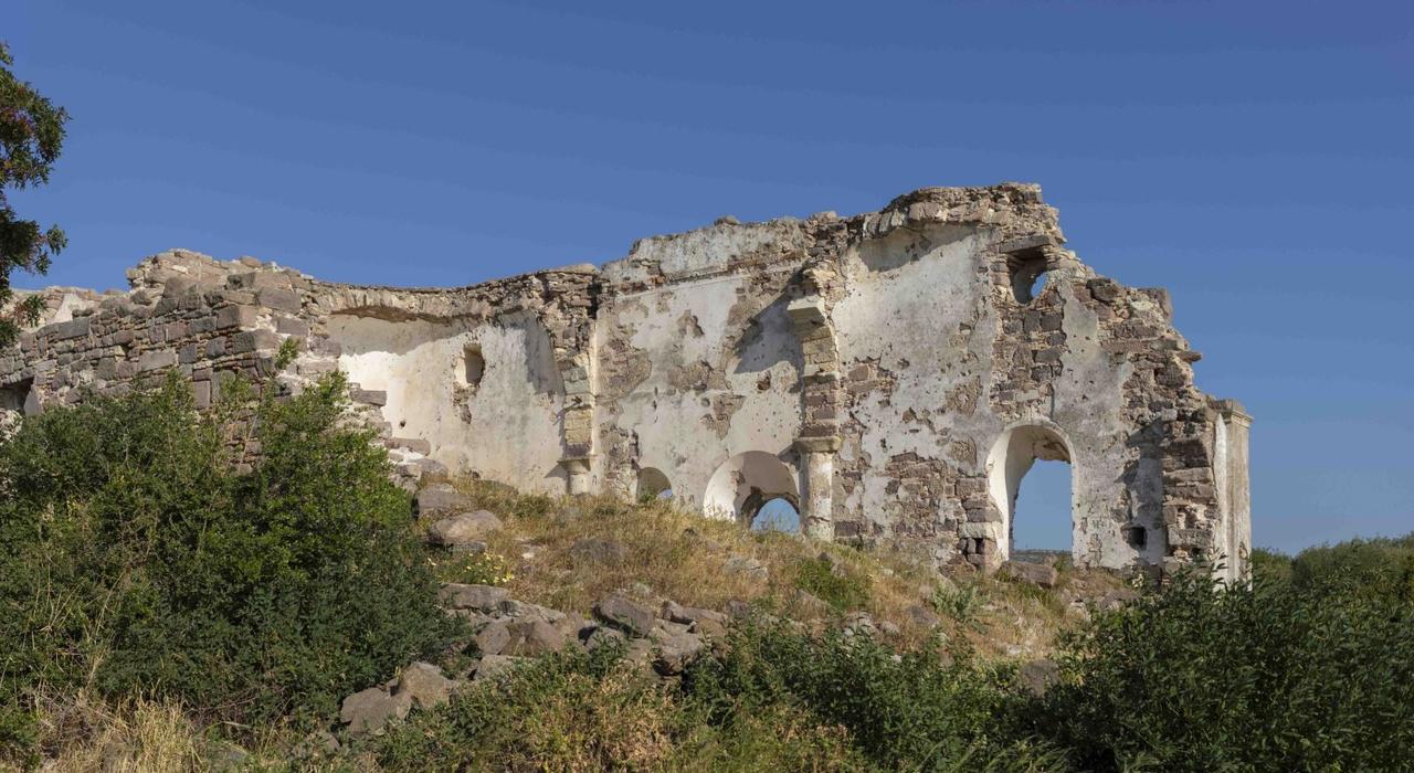
Erythrai Ancient City
Erythrai Ancient City is an Ionian settlement located within the boundaries of Ildırı Village, Çeşme District, İzmir Province, on the western Anatolian coastlineTürkiye Turizm Ansiklopedisi, “Erythrai Örenyeri ve Kazıları,” erişim 29 Ocak 2026, https://turkiyeturizmansiklopedisi.com/erythrai-orenyeri-ve-kazilari ">【1】. The ancient city developed on a peninsula with direct maritime access, situated on the western part of the Urla Peninsula. Architectural remains of the settlement largely overl
EN
Seren Yanık
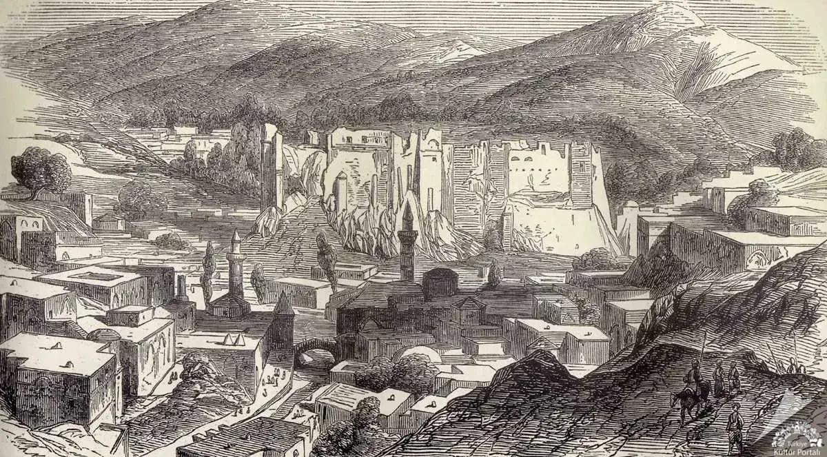
Bitlis Castle
Imagine a giant rock rising toward the sky! This is Bitlis Kalesi, standing like a shining crown atop such a majestic rock, overlooking the city from above. This fortress, which has stood there for thousands of years, tells us the thrilling stories of ancient times. Who Built the Fortress and When? This massive fortress was built by Badlis, a commander of the famous ruler Alexander the Great. Its construction dates back exactly 2300 years to 312 BCE. The city of Bitlis derives its name from this
ENSıla Gücüm
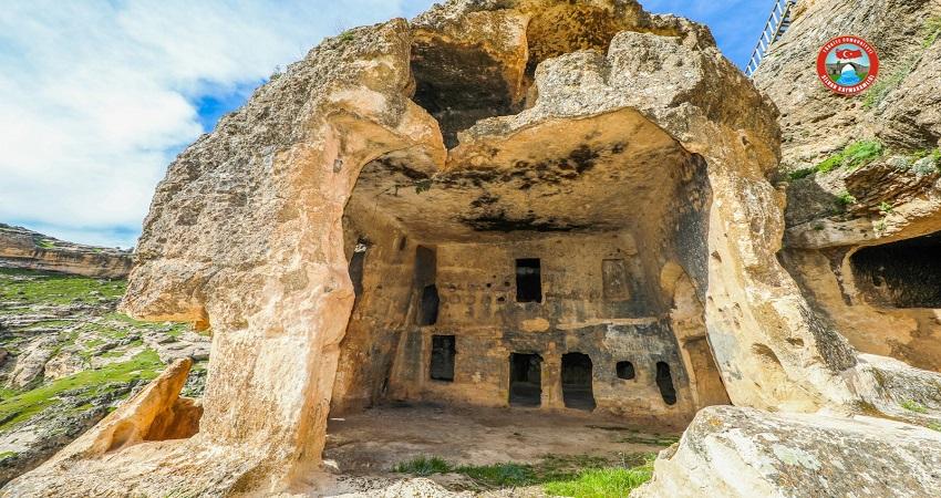
Hasuni Caves
The history of Hasuni extends back to the Mesolithic (Flaked Stone) Age, when humans transitioned to settled life and began carving stone for protection. It was continuously inhabited from the 1st millennium BCE to the 13th century CE. It is believed that the first builders of this mysterious city were the Assyrians; however, over time many civilizations including the Urartians, Medes, Persians and Alexander the Great left their marks here. 🏢 The World’s First “Apartment Buildings” May Be Here!
EN
Amine Öztürk
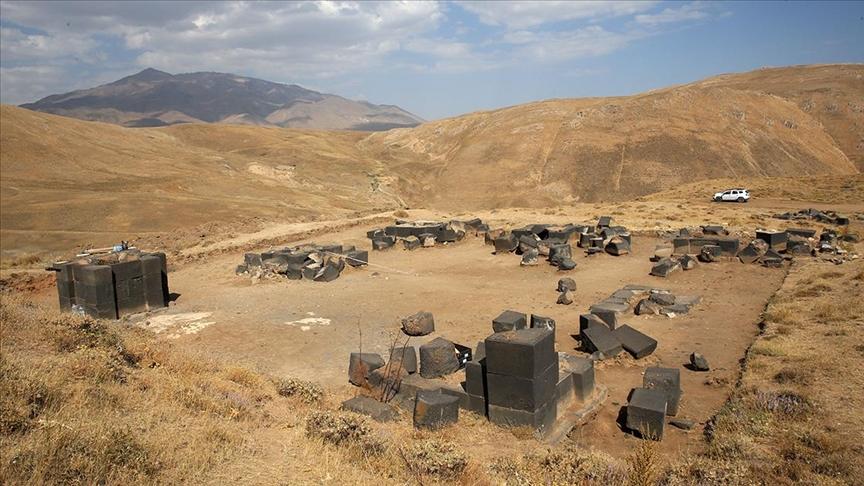
Kef Castle
Kef Kalesi is a historical fortress located near the district of Adilcevaz in Bitlis province, on the southern slopes of Mount Süphan, commanding a strategic position over the Van Lake basin. Situated at an elevation of 2300 meters above sea level, the fortress occupies a dominant location overlooking Van Lake and controls the critical route between Erciş and Bitlis. Due to its natural topography, the eastern, western and southern sides consist of steep and sheer cliffs, making access from these
EN
Aleyna Bozarslan
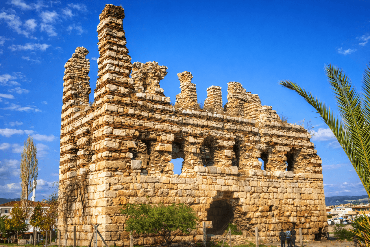
Laskaris Palace (Kız Kulesi)
Laskaris Sarayı is an important palace structure dating to the period of the Empire of Nicaea, which emerged after the Latin occupation of Istanbul in 1204 following the Fourth Crusade. Located in the Kemalpaşa district of İzmir (ancient Nymphaion/Nif), it is considered one of the rare surviving examples of Byzantine palace architecture from the 13th century. The structure was used as a summer residence by the Laskaris dynasty and is recognized for its historical and architectural significance.【
EN
İremsu Ümit
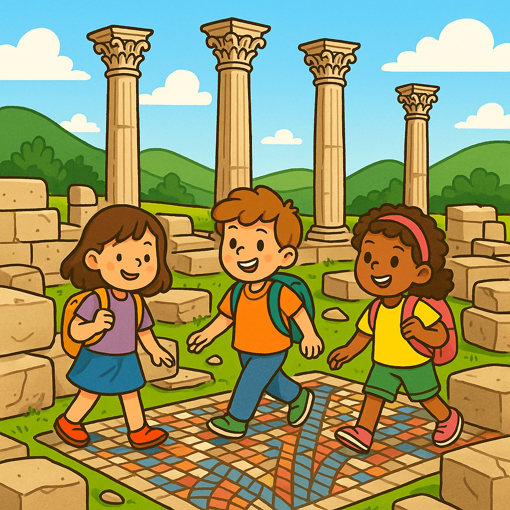
Sebaste Ancient City
Uşak’s Sivaslı district is home to the ancient city of Sebaste Antik Kenti, located near the village of Selçikler. This city was founded exactly two thousand years ago, in 20 BC, by order of the Roman Emperor Augustus. The name “Sebaste” means “revered” in Greek and was in fact one of Augustus’s titles. Thus, the city’s name was an act of reverence toward the most powerful ruler of that era. Where Is It Located? Sebaste lies 36 kilometers from the center of Uşak, situated in a fertile plain surr
EN
Yusuf İslam Tuğla
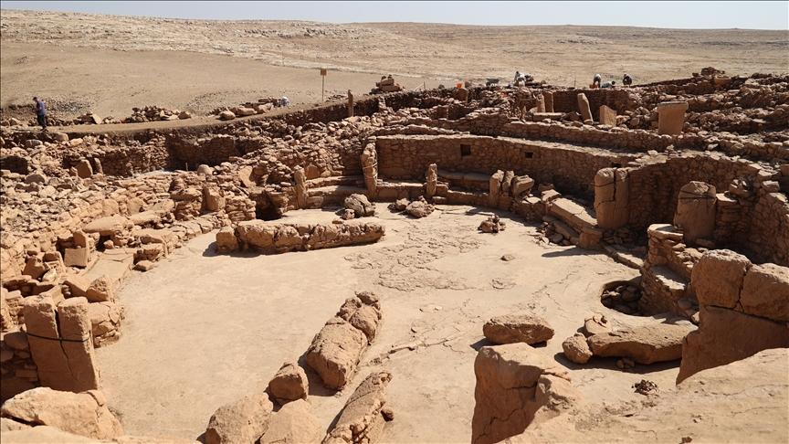
Near East Village Model
Near Eastern Village Model is a conceptual framework used to describe the first permanent village settlements that emerged in the Near East during the Neolithic period, along with their spatial organization and architectural transformation. Mehmet Özdoğan defined this model based on the emergence of distinct residential areas, workshops, storage units, spaces designated for ritual, and public structures within a unified settlement pattern following the advent of sedentary life.【1】 The geographic
EN
Ayşegül DEMİRCİ
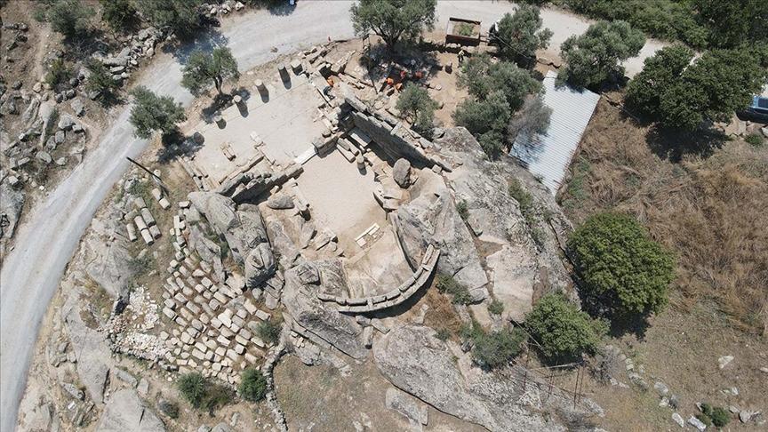
Herakleia Ancient City
Located within the boundaries of the Milas district in Türkiye’s Muğla province, the Herakleia Ancient City is situated on the southern slope of the Latmos (Beşparmak) Mountains, along the shore of Lake Bafa. This settlement, within the historical region of Caria, exemplifies a site that gained prominence for both religious and defensive functions throughout its history. Known as Latmos in ancient sources, the settlement adopted the name “Herakleia” from the Hellenistic period onward. Location a
EN
Zeynep Şule Bingöl