


This article was automatically translated from the original Turkish version.
+1 More
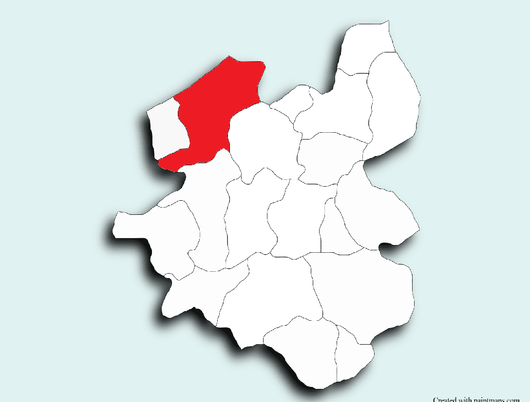
İspir
Rakım | 1.180 | ||||||||
|---|---|---|---|---|---|---|---|---|---|
Population | 14.469 | ||||||||
Area | 2152,5 km² | ||||||||
Mayor | Ahmet COŞKUN | ||||||||
District Governor | Ahmet Salih POÇANOĞLU | ||||||||
İspir is a district of Erzurum province in the Eastern Anatolia region of Türkiye. Located in the Çoruh River valley to the northeast of Erzurum, İspir is notable for its rich historical heritage, unique geographical structure, and cultural legacy.
Situated in the transition zone between the Black Sea and continental climates, the district stands out for its natural beauty, highland pastures, and historical structures. It is also built along ancient natural and historical routes that have, throughout various periods of history, served military and commercial purposes connecting Eastern Anatolia to the Eastern Black Sea coasts and the Caucasus.
The Çoruh River, one of the fastest-flowing rivers in the world, originates within İspir’s boundaries. With 76,865 hectares of forested land, İspir has the largest forested area of any district in Erzurum.
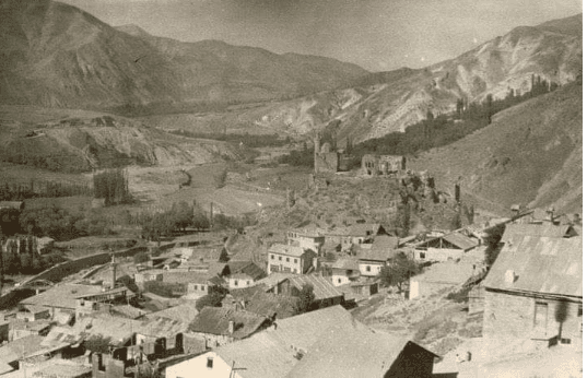
İspir (İspir Belediyesi)
İspir and its surroundings, located along historic transit routes linking Eastern Anatolia to the Eastern Black Sea coasts and the Caucasus, have been under the rule of numerous civilizations throughout history, including the Hurrians, Urartians, Scythians (Saka), Medes, Persians, Romans, Byzantines, Sassanids, Umayyads, Abbasids, Seljuks, Ilkhanids, Kara Koyunlu, Timurids, Ak Koyunlu, the Kingdom of Georgia, and the Ottoman Empire. In Urartian sources, the region is referred to as “Kulka (Qulha).”
İspir came under Ottoman administration after the 1514 Çaldıran Campaign. In 1515, it gained the status of a sanjak and was attached to the Beylerbeylik of Diyarbakır; in 1520, it was transferred to the Rum Eyalet. In 1535, it was incorporated into the newly established Erzurum Eyalet. According to the 1642 Avarız register, the district had 12 Muslim households, 17 non-Muslim households, 139 soldiers, and 10 religious officials.
The 1835 population register recorded a total male population of 11,308 across 152 settlements, of whom 10,691 were Muslim and 617 were non-Muslim.
İspir was officially registered as a nahiye in 1839. In 1880, it was attached to Bayburt; in 1888, it was reattached to the central administration of Erzurum and granted kaza status. Between 1892 and 1898, it comprised 143 villages. A telegraph line was established in 1895–96, postal service between Bayburt and İspir began in 1900, and a new government mansion was constructed that same year.
During World War I, İspir was under Russian occupation from 1916 to 1918. On 25 February 1918, it was reintegrated into Ottoman administration by units of the First Caucasian Corps.
İspir is located 143 kilometers north of the city center of Erzurum and covers an area of 2,244 square kilometers. The district is surrounded by numerous mountains with elevations ranging from 2,400 to 3,900 meters in the south and north. In addition to the Kaçkar Mountains, significant elevations include Mescit Dağı (3,240 m), Deve Dağı (3,363 m), Sandık Dağı (3,186 m), Dilek Dağı (3,549 m), and the Verçenik Mountains.
The source of the Çoruh River lies within the district’s boundaries. With 76,865 hectares of forested land, İspir has the largest forested area of any district in Erzurum.
İspir lies in a transitional zone between continental and Black Sea climates and is predominantly influenced by the continental climate. Compared to other districts of Erzurum, it experiences milder winter conditions. The district’s northern and southern boundaries, enclosed by high mountains, contribute to greater local climatic diversity.
As one moves along the Çoruh Valley toward Yusufeli, microclimatic effects become more pronounced. In this area, it is possible to cultivate heat-loving crops such as pomegranate, rice, and paddy. The region also lies along a migratory bird route and hosts numerous bird species.
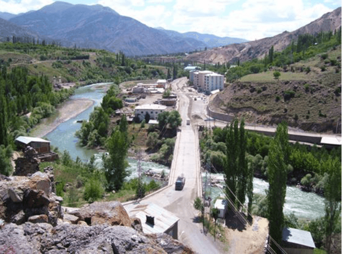
İspir (İspir Müftülüğü)
According to the Turkish Statistical Institute’s Address-Based Population Registration System (ADNKS) 2024 data, the total population of İspir is 11,453. According to 2017 data, the population was 14,469. Over time, the population has declined. The district includes numerous rural neighborhoods outside the town center, and a significant portion of the population is engaged in agriculture and animal husbandry. A portion of the younger population has migrated to large cities.
The district’s economy is largely based on agriculture and animal husbandry. Mulberry and mulberry products (pestil, pekmez, dried mulberries, etc.), especially the geographically indicated “İspir Beans,” are the main sources of livelihood. In recent years, greenhouse farming, beekeeping, and artificial aquaculture have also developed. Due to limited arable land, temporary labor migration and, especially, baking are widespread in the district.
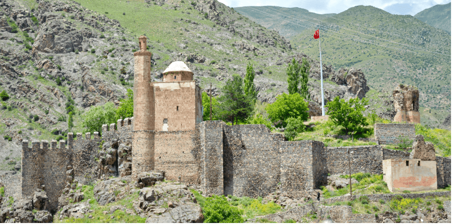
İspir Kalesi (İspir Kaymakamlığı)
İspir, situated at the intersection of Eastern Anatolia and the Eastern Black Sea regions, possesses a rich cultural structure. The district is known for traditional Eastern Anatolian bar games and the Black Sea region’s horon folk dances. The most common musical instruments are the tulum, davul, and zurna. The region also features a distinctive cultural synthesis marked by folk literature, atma folk songs, and its cuisine. The culinary culture reflects this synthesis, with beans, meat dishes, and mulberry-based products taking center stage.
The district contains numerous historical and natural sites. Among the most prominent are:
In addition, hiking and climbing routes such as Yedigöller (Çamlıkaya), Taşlıca-Hotar, Ardıçlı-Devedağı, Sırakonaklar-Davalı Yayla-Kaçkar, and Çamlıca Yayla attract interest. Archaeological remains include the Akkoyunlu Ruins, Numanpaşa Village Remnants, Saltukid Graves, Petekli Monastery, Sandık Castle, Maden Castle, and Cankurtaran Castle.
Diyanet İşleri Başkanlığı Erzurum - İspir İlçe Müftülüğü. "Müftülüğümüz." Accessed April 22, 2025.https://erzurum.diyanet.gov.tr/ispir/Sayfalar/contentdetail.aspx?MenuCategory=Kurumsal2&ContentId=muftulugumuz
Erzurum Büyükşehir Municipality. "İspir." Accessed April 22, 2025.https://www.erzurum.bel.tr/AltIcerikDetay/1044/I/1010.html
Erzurum Valiliği. "İspir." Accessed April 22, 2025.http://www.erzurum.gov.tr/ispir
Erzurum İl Kültür ve Turizm Müdürlüğü. “İspir.” Accessed April 22, 2025.https://erzurum.ktb.gov.tr/TR-56046/ispir.html
T.C.İspir Kaymakamlığı Governorship. "İspir Genel Bilgi." Accessed April 22, 2025.http://www.ispir.gov.tr/ispir-genel-bilgi
T.C.İspir Kaymakamlığı Governorship. “İspir Çevresinin Tarihi ve Arkeolojik Verileri.” Accessed April 22, 2025.http://www.ispir.gov.tr/ispir-cevresinin-tarihi-ve-arkeolojik-verileri
Türkiye İstatistik Kurumu. “İspir İlçesi Seçilmiş Göstergeler.” Accessed April 22, 2025.https://www.tuik.gov.tr
İspir Belediyesi. "Fotoğraf Galerisi." ispir.bel.tr. Accessed April 22, 2025.https://www.ispir.bel.tr//foto/ispir
İspir Belediyesi. "Tarihçe." ispir.bel.tr. Accessed April 22, 2025.
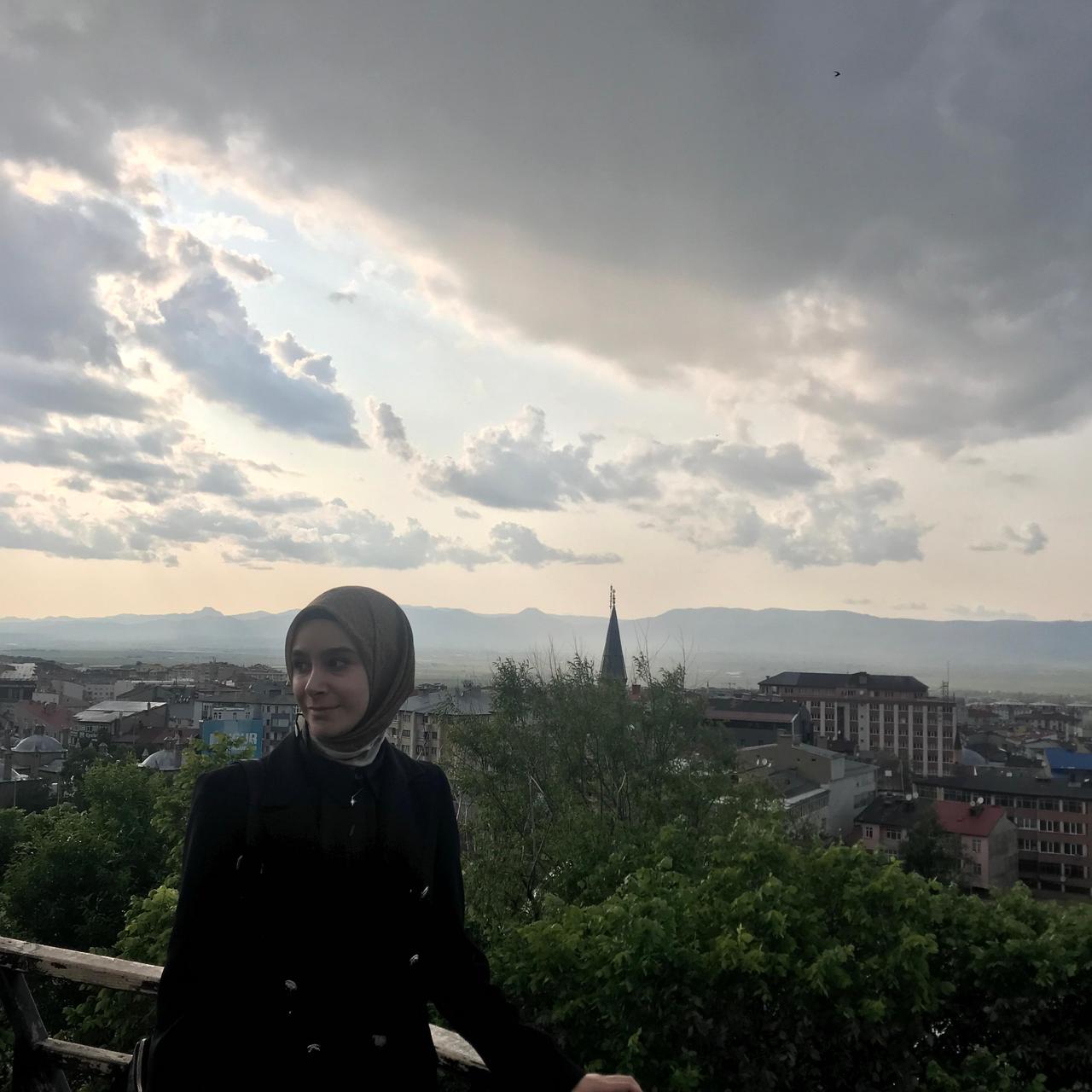
İspir
Rakım | 1.180 | ||||||||
|---|---|---|---|---|---|---|---|---|---|
Population | 14.469 | ||||||||
Area | 2152,5 km² | ||||||||
Mayor | Ahmet COŞKUN | ||||||||
District Governor | Ahmet Salih POÇANOĞLU | ||||||||
History
Geography
Climate
Population and Demographics
Economy
Culture, Social Structure, and Cuisine