`district` Related Article Results
 Gü
GüGülyalı (District)
Gülyalı is a district of Ordu province in Türkiye, located on the Black Sea coast. The district exhibits the typical geographical features of the Black Sea Region and covers an area of 112 square kilometers. While its distance from the Ordu provincial center toward Giresun is reported in institutional sources as 8 km, 12 km, and 16 km respectively, its distance from Giresun is stated as 32 km.【1】 In recent years, tourism, kiwi cultivation, and livestock farming have been integrated into the loca
EN
Yaren Karadeniz

Çamlıdere (District)
Çamlıdere is a settlement known for its historical heritage, natural beauty, unique museums, and local culture, subordinate to Ankara Province. Although its founding date is not precisely known, traces from the Seljuk and Byzantine periods are present within its boundaries. It is traditionally believed that the settlement’s former name, “Kuzveren,” changed to “Şeyhler” following the arrival of Şeyh Ali Semerkandi. Originally a village under Beypazarı, it gained independent district status in 195
EN
Mustafa Yasin Kala

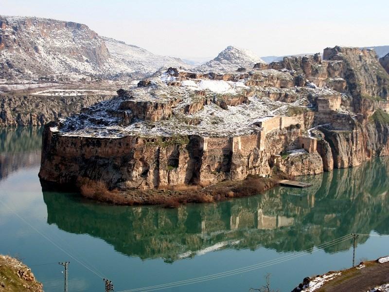
Crusader (Fuzzy) Lake
Haçlı Lake (Bulanık Lake) is a freshwater lake located approximately 10 kilometers southeast of Bulanık district in Muş province, situated in a depression between Haçlı Mountain (Avnik Mountain) and the Bilican Mountains. Geomorphologically, it has the characteristics of a tectonic-lava dammed lake. The lake formed when lava flows from volcanic activity in the region blocked the northern end of a tectonic depression. Located at an elevation of 1,583 meters above sea level, the lake’s surface are
ENElifnur Döker
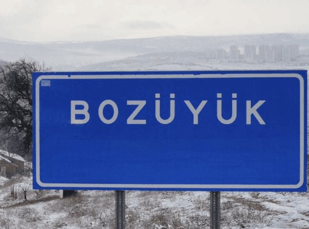
Bozüyük (District)
Bozüyük, historical as a site bearing traces of many civilizations, is one of the junction points of Anatolia at important. Settlement in the region has been shaped under the influence of different cultures since antiquity.Bozüyük (Source: Bozüyük Municipality)" image-alternate="" image-element-format="center">Antiquity and the Ancient PeriodThe history of Bozüyük extends back to the 12th century BCE. It was initially dominated by the Hittites. Following the Hittites, the Phrygians from the B
EN
Sümeyra Uzun

Eruh (District)
Eruh is a district隶属于 Siirt Province in the Southeastern Anatolia Region of Türkiye. Eruh, with historical roots extending far into antiquity, is a settlement notable for its geographical structure, economic conditions, and tourism potential. Below, detailed information is provided under the headings of its history, geographical structure, climate, plant vegetation, social and economic structure, tourism potential, and demographic structure.HistoryAlthough the exact founding date of Eruh is unkn
EN
Muhammed Samed Acar
Nurdağı (District)
Nurdağı, a district of Gaziantep Province in southeastern Türkiye, lies between 36–37 meridians and 37–38 north parallels. Its location serves as a crossroads connecting east to west and north to south. To its east are Şahinbey and Şehitkamil districts of Gaziantep; to its west is the district of Osmaniye; to its north are Türkoğlu and Pazarcık districts of Kahramanmaraş; and to its south is İslahiye district of Gaziantep. Situated at the foot of the Amanos Mountains along the historic Silk Road
ENMuhammed Samed Acar
Oğuzeli (District)
Oğuzeli, a district of Gaziantep Province in Türkiye. Located 17 km south of Gaziantep, place, the district attracts attention due to its historical, geographical, and economic characteristics. Oğuzeli gained district status on 14 April 1946 and became the third district of Gaziantep on 23 July 2004.HistoryOğuzeli has a deeply rooted past. Excavations at Tilbaşar Castle, located in the village of Tilbaşar under its jurisdiction, have uncovered artifacts dating back to the 3000s BCE. Region, thro
ENMuhammed Samed Acar
Şahinbey (District)
Şahinbey, the largest city in the Southeastern Anatolia Region and Türkiye’s ninth largest city, is one of three districts of Gaziantep. It holds a leading position in the region due to its memories of the War of Independence, rich historical and cultural environment, highway, international airport, train station, delicious cuisine, unique handicrafts, mosques, castles, caravanserais, fortresses, baths, tombs, churches, highland pastures, and numerous sites for tourism and picnics. The district
ENMuhammed Samed Acar
Yavuzeli (District)
Yavuzeli is a district隶属于 Gaziantep Province in the Southeastern Anatolia Region. It is bordered by Car to the north, Şanlıurfa Province to the east, Kahramanmaraş Province to the northwest, Nizip to the southeast, and Center Şehitkamil district to the south. The district has an elevation of 650 meters above sea level, is 38 kilometers from the provincial center, and covers an area of 483 km². Yavuzeli is particularly notable for its historical heritage associated with Rumkale like important hou
ENMuhammed Samed Acar

Midyat (District)
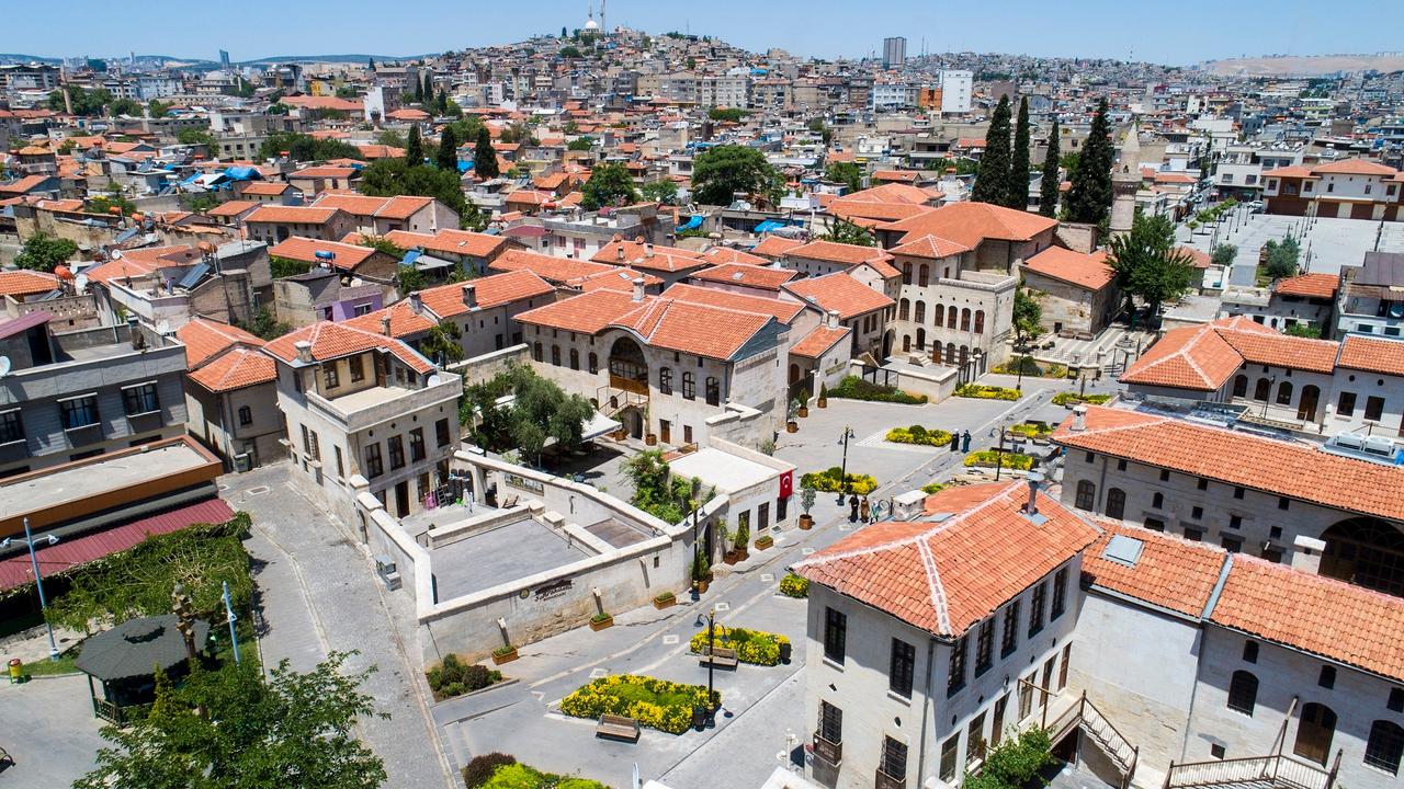
Midyat is a district of Mardin Province in southeastern Türkiye. Known for its historical heritage cultural richness and unique architecture Midyat resembles an open-air museum. The district covers an area of more than 10 000 km² and is located approximately one and a half hours from Mardin.HistoryThe history of Midyat dates back to ancient times and bears traces of multiple civilizations. There are various theories regarding the origin of its name. According to some sources Midyat derives from
ENMuhammed Samed Acar