

`volcanicformations` Related Article Results
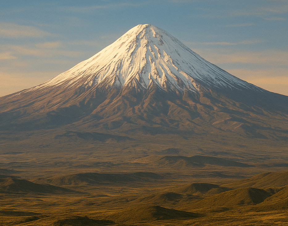
Mount Ağrı
Mount Ağrı, Türkiye’s highest peak, is a massive volcanic massif located in the Eastern Anatolia Region, near the point where the borders of Türkiye, Iran, and Armenia meet. The mountain holds significant importance in the geography of the Near East due to its physical characteristics as well as its historical and mythological associations. Mount Ağrı possesses a multi-layered structure from geographical, geological, climatic, cultural, and historical perspectives. Geographical Features Mount Ağ
EN
Devran Karataş
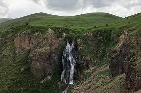
Dry (Flying Water) Falls
Susuz Şelalesi is a natural formation located within the boundaries of the Kars province in Eastern Anatolia and is recognized as one of the region’s significant geomorphological features. Locally known as "Su Uçan", "Suuçan", or "Uçan Su" due to the water cascading from a steep incline and being scattered by the wind, this waterfall is situated immediately beside the Kars–Ardahan highway (D-965). Administratively, the waterfall lies on the boundary between the villages of Ermişler and İncilipın
EN
Esra Nur Bulut