`militaryterms` Related Article Results
HAVELSAN KASHIF
KASHIF is a modular Geographic Information System (GIS) solution developed by HAVELSAN. It consists of three main modules: separate client libraries for desktop and web applications (KASHIF-J and KASHIF-W) and a server component (KASHIF-S). Its purpose is to provide situational awareness by collecting processing and visualizing real-time and historical geospatial data for land sea and air operations. History and Development Process The foundations of KASHIF were laid in the late 1990s through GI
EN
Kübra Parçalar
 La
LaLaser-Guided Missiles
Laser guidance technology is a high-precision targeting system that plays a critical role in modern combat arenas for target detection and destruction. Thanks to this system, missiles can effectively strike various objects such as tanks armor vehicles buildings and even moving land or air targets. The laser guidance system operates by illuminating the target with a laser and detecting the reflected laser energy using a sensor on the munition. First developed in the 1960s this technology has evol
EN
Beyza Nur Türkü
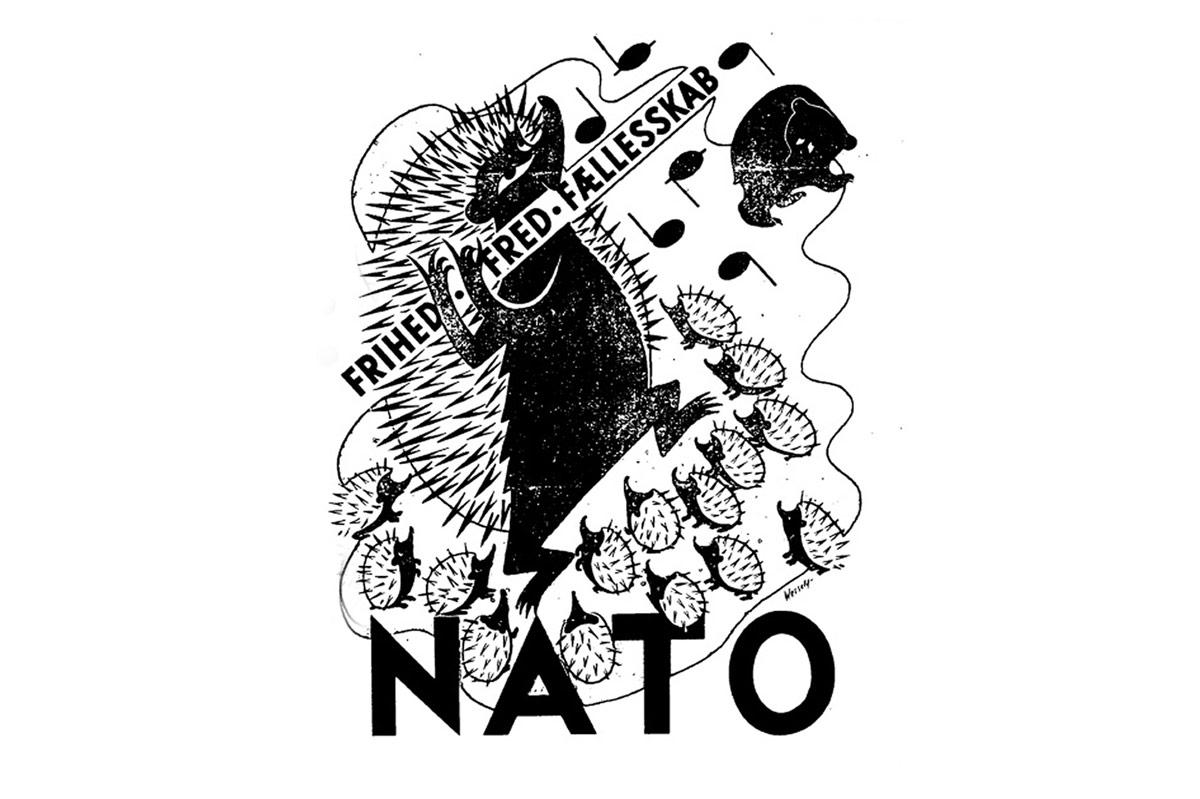
Hedgehog (NATO's Unofficial Mascot)
Hedgehog is the unofficial symbol and mascot of the North Atlantic Treaty Organization (NATO), though it has never been formally adopted. The hedgehog’s symbolic value is linked to its nature as a non-aggressive creature capable of defending itself when threatened. In the context of NATO, the hedgehog represents a defensive alliance committed to preserving peace while possessing a strong capacity to respond to attacks against its members. Historical Origins The hedgehog tactic was first mentione
EN
Nursena Şahin