


This article was automatically translated from the original Turkish version.
+1 More
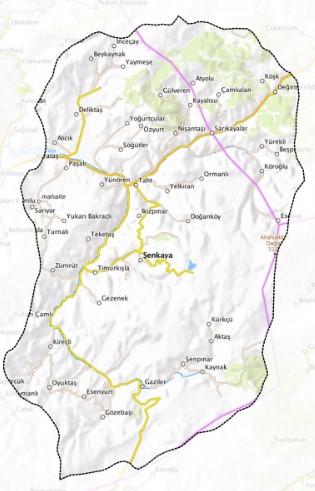
Şenkaya, Erzurum District
Elevation of the District | 1.850 | ||||||||
|---|---|---|---|---|---|---|---|---|---|
Area of the District | 146.3 Km² | ||||||||
Number of Villages in the District | 71 | ||||||||
District Governor | Abdullah Kurt | ||||||||
Mayor | Görbil Özcan | ||||||||
Şenkaya is a district located in the northeast of Erzurum. The district is characterized by its rugged terrain and is distinguished by its rich forests and natural landscape. Under the influence of a continental climate, the economy of Şenkaya is primarily based on agriculture and animal husbandry. Due to its location along the historic Silk Road, the district has hosted various cultures and today attracts attention with its peaceful and natural way of life.
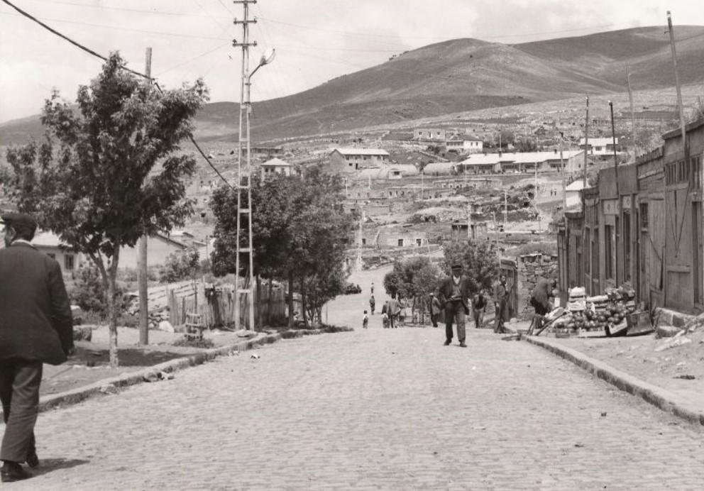
Eski Şenkaya (Şenkaya Kaymakamlığı)
The history of Şenkaya and its surroundings dates back to ancient times. The region has been under the rule of various civilizations throughout history, including the Urartians, Romans, Byzantines, Seljuks, and Ottomans. Its position along the Silk Road made it an important center for trade and culture. After the Battle of Manzikert in 1071, Turkish tribes settled in this region. During the Ottoman Empire, it remained a settlement under the Erzurum Vilayet. After the proclamation of the Republic, it became a district of Erzurum.
Şenkaya is situated in the high and mountainous areas of Eastern Anatolia. The district’s terrain is generally rugged and forested. It borders Artvin to the north, Tortum and Olur to the west, Horasan to the south, and Ardahan to the east. Due to its high elevation, a continental climate prevails. Winters are long and cold, while summers are cool and rainy. The annual average temperature is low, and snowfall can persist for extended periods. Rivers in the region are primarily fed by mountain sources and exhibit seasonal variations in flow.
According to 2024 TÜİK data, Şenkaya’s population is 15,412. The district has a rural structure with a low population density (44.4 people per km²). Although past migrations have affected the population, in recent years it has attracted interest from those seeking a natural lifestyle.
Şenkaya’s economy is primarily based on agriculture and animal husbandry. Agricultural land is mostly mountainous and rugged, limiting agricultural production. Major crops include wheat, barley, potatoes, and forage plants. Animal husbandry is widespread, particularly in the form of cattle and small livestock breeding. The extensive forested areas have also facilitated the development of beekeeping. In recent years, the potential for nature tourism has been recognized, and initiatives in this sector have begun to contribute to the local economy.
Şenkaya possesses tourism potential through its natural beauty, historical remnants, and cultural richness. Its highland pastures, forests, and clean air make it suitable for activities such as hiking, camping, and photography. The district also contains structures dating from the Seljuk and Ottoman periods. Local culture reflects the general characteristics of Eastern Anatolia, and traditional customs and practices continue to hold significance.
Şenkaya’s cuisine is influenced by the region’s natural products. Due to the prevalence of animal husbandry, meat and dairy products play a prominent role. Mıhlama, cağ kebabı (though specific to Erzurum, it is also prepared in the region), kete, and various local cheeses are among the district’s notable delicacies. Additionally, different wild herbs found in the natural vegetation are used in local dishes.
Penek Castle: Located within the boundaries of Penek Village near the district center, the exact construction date of the castle is unknown, but records indicate it was built in 1548 and remained in use during the Ottoman period.
Bardız Mosque: Situated immediately behind Penek Castle, the mosque is constructed from cut stone. According to its inscription, the architect was Sertzade Molla Ali.
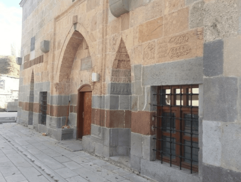
Bardız Cami ( Şenkaya Kaymakamlığı)
Bardız Castle: Located in the village of Bardız, which is under the jurisdiction of the district center, the castle was built by the Saltukoğulları. It is a significant structure mentioned in the travelogue of the famous explorer Evliya Çelebi.
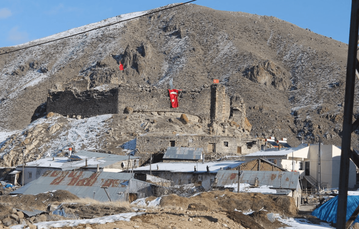
Bardız Kalesi (Şenkaya Kaymakamlığı)
Venk Church: Although definitive historical information is lacking, it is believed to date from the Roman or Byzantine period.
Other Historical Structures: In addition to these, the district contains other historically significant structures such as Kahmıs Castle, Kahmıs Church, and Soğmunkale Church.
Erzurum Büyükşehir Municipality. "Şenkaya." Erzurum Metropolitan Municipality. Accessed April 26, 2025.https://www.erzurum.bel.tr/AltIcerikDetay/1044/I/1020.html
Erzurum Valiliği. "Şenkaya." Accessed April 26, 2025.http://www.erzurum.gov.tr/senkaya
Kültür Portalı. "Şenkaya." Kültür Portalı. Accessed April 26, 2025.https://erzurum.ktb.gov.tr/TR-172574/senkaya.html
Paintmaps. "Şenkaya Haritası." Accessed April 26, 2025.https://tools.paintmaps.com/tr/harita-kirpma/TR/4-1108709201/ornekler
TÜİK. Address-Based Population Registration System (ADNKS). 2024.https://data.tuik.gov.tr/Bulten/Index?p=Adrese-Dayali-Nufus-Kayit-Sistemi-Sonuclari-2024-53783
Şenkaya Kaymakamlığı. "Tarihçemiz." Accessed April 26, 2025.http://www.senkaya.gov.tr/
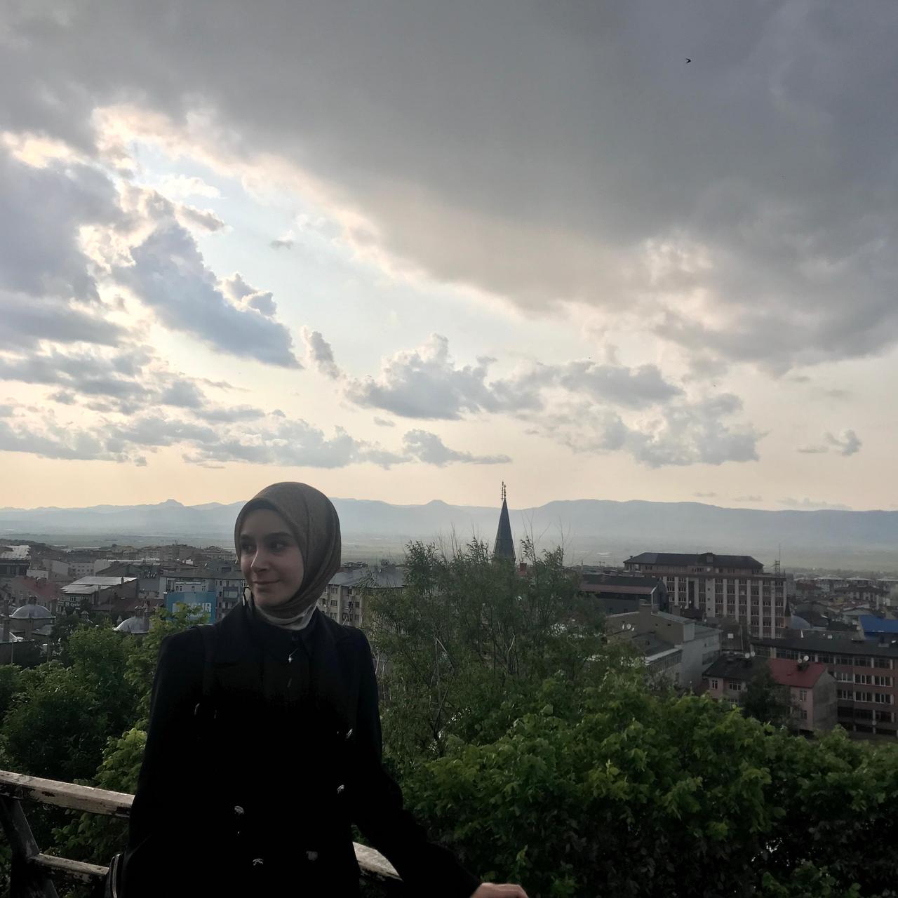
Şenkaya, Erzurum District
Elevation of the District | 1.850 | ||||||||
|---|---|---|---|---|---|---|---|---|---|
Area of the District | 146.3 Km² | ||||||||
Number of Villages in the District | 71 | ||||||||
District Governor | Abdullah Kurt | ||||||||
Mayor | Görbil Özcan | ||||||||
History
Geography and Climate
Population
Economy
Tourism, Culture and Cuisine