


This article was automatically translated from the original Turkish version.
+1 More
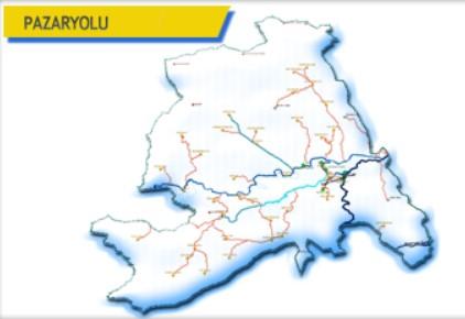
Pazaryolu District of Erzurum
Elevation of the District | 1,400 | ||||||||
|---|---|---|---|---|---|---|---|---|---|
Area of the District | 742 km² | ||||||||
Number of Villages in the District | 45 | ||||||||
District Governor | Zekeriya Murat Şahan | ||||||||
Mayor | İbrahim Şahin | ||||||||
Pazaryolu is a district of Erzurum province in Türkiye. Located northeast of the provincial capital, the district stands out for its historical and natural attractions. Due to its proximity to the Black Sea Region, it has also been influenced by the climatic and cultural characteristics of that area.

Pazaryolu (Pazaryolu Kaymakamlığı)
The history of Pazaryolu and its surroundings extends back to very ancient periods. Archaeological research in the region has revealed settlements dating as far back as the Paleolithic era. In subsequent periods, the area came under the rule of various civilizations including the Hittites, Urartians, Romans, and Byzantines. Following the Battle of Manzikert, as Anatolia underwent Turkification, Turkmen beyliks settled in the region and it eventually became part of the Ottoman Empire.
During the Ottoman period, the settlement retained its importance as a vibrant market town due to its location along a major trade route. After the proclamation of the Republic, Pazaryolu continued as a subdistrict under Erzurum until it gained district status in 1990. The name of the district derives from the markets established in the past which contributed significantly to the regional economy.
Pazaryolu is located approximately 110 kilometers northeast of the city of Erzurum. The district borders Yusufeli district of Artvin to the north, Tortum district to the east, the central district of Erzurum to the south, and İspir district to the west. Its total area is approximately 1,148 square kilometers.
The terrain of the district is generally mountainous and rugged. Part of the extension of the Pontic Mountains, the region features high plateaus and deep valleys. The Soğanlı Mountains are among its main elevations. Several significant rivers flow within the district boundaries, the most important of which is the Tortum Çayı, a tributary of the Çoruh River that flows into the Black Sea. This river and its tributaries have a significant impact on the region’s vegetation and settlement patterns.
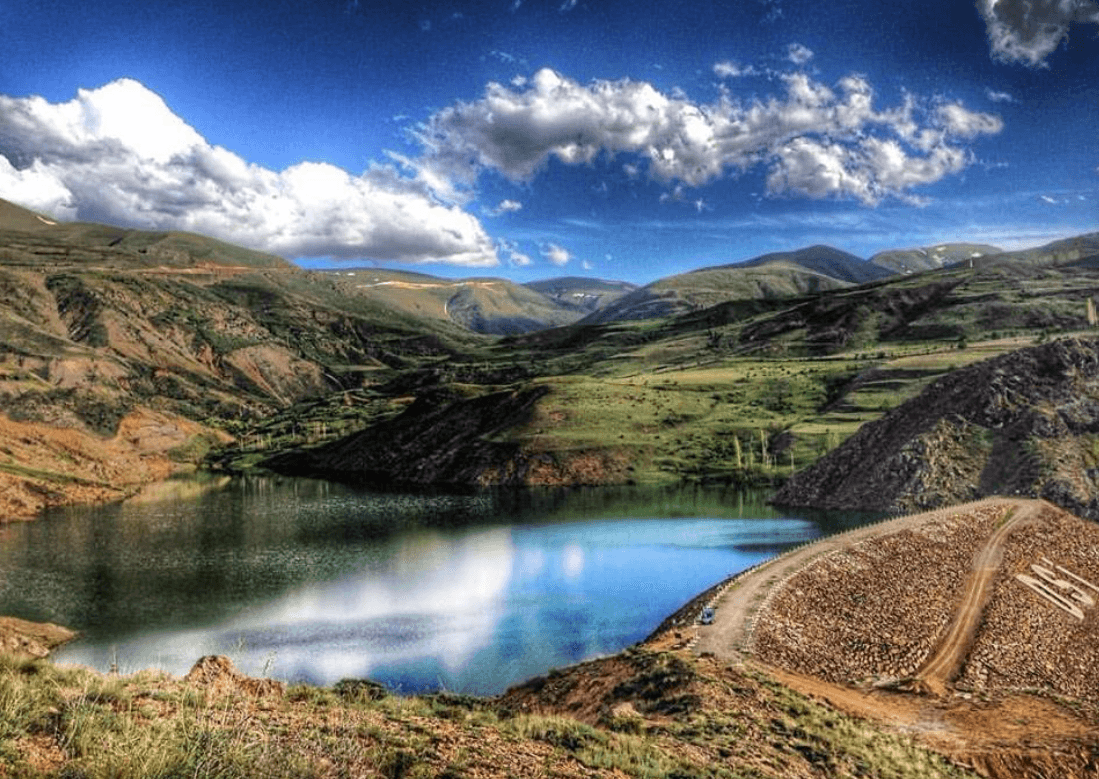
Pazaryolu (Pazaryolu kaymakamlığı)
Pazaryolu experiences a transitional climate between the Black Sea and continental types. Summers are cool and rainy, while winters are cold and snowy. Snow cover can persist for extended periods in higher elevations. Spring and autumn are mild and wet. These climatic conditions have contributed to the diversity of the region’s vegetation.
According to the 2024 Address-Based Population Registration System (ADNKS) data from the Turkish Statistical Institute (TÜİK), the population of Pazaryolu district is 3,786, representing a decrease of 125 people compared to the previous year. The majority of the population resides in rural areas, although in recent years there has been observable population movement toward the district center.
The economy of Pazaryolu has traditionally been based on agriculture and animal husbandry. Major agricultural products include wheat, barley, maize, potatoes, and beans. Fruit cultivation has also developed in recent years, particularly apple and pear production.
Livestock farming, including both large and small animals, is widespread. The extensive pastures and summer highland meadows have ensured the continued importance of animal husbandry in the regional economy.
In recent years, beekeeping has become an important economic activity. The region’s rich vegetation supports the production of high-quality honey.
Tourism is also a potential source of income for the district. Natural beauties, historical structures, and local products support efforts to revitalize tourism.
Pazaryolu attracts attention for its natural beauty and historical character. The alpine meadows in the district offer suitable areas for trekking and nature walks. Especially during spring and summer, these meadows, covered in varying shades of green, draw the interest of visitors.
Historical structures include mosques and bridges dating back to the Ottoman period, reflecting the region’s cultural heritage. Local handicrafts are also an integral part of the district’s cultural richness.
Pazaryolu cuisine reflects the interaction between Black Sea and Eastern Anatolian culinary traditions. Local delicacies such as mıhlama, hıngel, and su böreği are prominent, alongside meat dishes and vegetable-based meals. Breakfasts prepared with locally produced natural products are especially famous. Products such as honey and butter are frequently preferred.
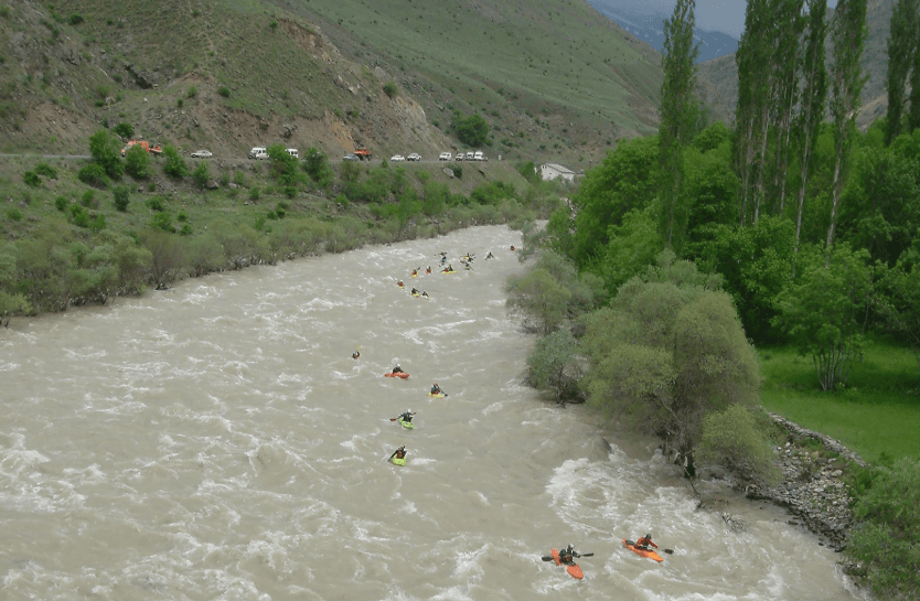
Çoruh Nehri (Erzurum Valiliği)
Erzurum Valiliği. "Pazaryolu." Accessed April 26, 2025.http://www.erzurum.gov.tr/pazaryolu
Erzurum Valiliği. "Çoruh Nehri." Accessed April 26, 2025.http://www.erzurum.gov.tr/coruh-nehri
Erzurum İl Kültür ve Turizm Müdürlüğü. "Pazaryolu." Accessed April 26, 2025.https://erzurum.ktb.gov.tr/TR-56062/pazaryolu.html
Pazaryolu Belediyesi. "Photography Gallery." Accessed April 26, 2025.http://www.pazaryolu.gov.tr/fotograf-galerisi
Pazaryolu Belediyesi. "Tarihçe." Accessed April 26, 2025.http://www.pazaryolu.gov.tr/tarihce
Türkiye İstatistik Institute (TÜİK). "Pazaryolu." Accessed April 26, 2025.
Pazaryolu District of Erzurum
Elevation of the District | 1,400 | ||||||||
|---|---|---|---|---|---|---|---|---|---|
Area of the District | 742 km² | ||||||||
Number of Villages in the District | 45 | ||||||||
District Governor | Zekeriya Murat Şahan | ||||||||
Mayor | İbrahim Şahin | ||||||||
No Discussion Added Yet
Start discussion for "Pazaryolu (District)" article
History
Geography
Climate
Population
Economy
Tourism, Culture and Cuisine