


This article was automatically translated from the original Turkish version.
+2 More
Google Earth Engine
Developer | |||||||||
|---|---|---|---|---|---|---|---|---|---|
Usage Language | JavaScript, Python | ||||||||
Data Source | Landsat, MODIS, Sentinel, CHIRPS etc. | ||||||||
Application Area(s) | Urban Planning Disaster Management Environment Forestry Agriculture | ||||||||
License | Free for academic and public users | ||||||||
Google Earth Engine (GEE) is a cloud-based Geographic Information System (GIS) and remote sensing platform developed by Google that enables the analysis of planetary-scale environmental data. GEE provides advanced computational infrastructure for monitoring, modeling, and analyzing environmental data over time such as surface temperature, vegetation cover, land use, and water presence. By utilizing data derived from satellite imagery, it offers a wide range of applications including land classification, disaster detection, and natural resource management. GEE is accessible to users through JavaScript and Python API, providing instant and archival access to hundreds of datasets on the platform.
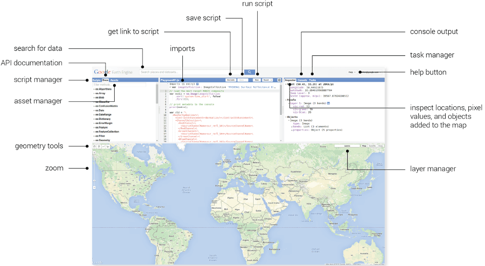
Google Earth Engine Kod Editörü (Google Earth Engine)
Google Earth Engine is an integrated system composed of three core components: a data catalog, an analysis infrastructure, and developer interfaces.
GEE provides users with data from various satellite sensors, including major remote sensing datasets such as the Landsat series (1972–present), Sentinel-1 and Sentinel-2, MODIS, CHIRPS, and SRTM. Additionally, climate, topography, population, and land use data are also available within the system. These datasets are regularly updated and stored in massive volumes.
GEE’s cloud-based computational infrastructure allows users to analyze extremely large datasets without downloading them to their local computers. For example, a user can compute 20-year average NDVI values across the entire African continent in seconds. This infrastructure is particularly well-suited for monitoring environmental change, time series analysis, and spatial classification.
GEE offers an interactive JavaScript-based code editor and a Python API. The JavaScript interface is commonly used for visual analysis and web-based presentations, while the Python API is preferred for scientific research, data science projects, and automated analyses.
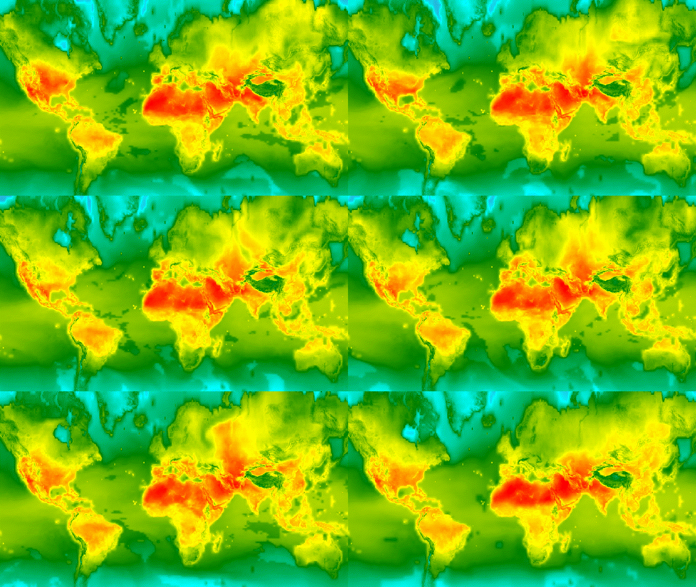
GEE veri kataloğu Dünya iklim verisi örneği (Earth Engine Data Catalog)
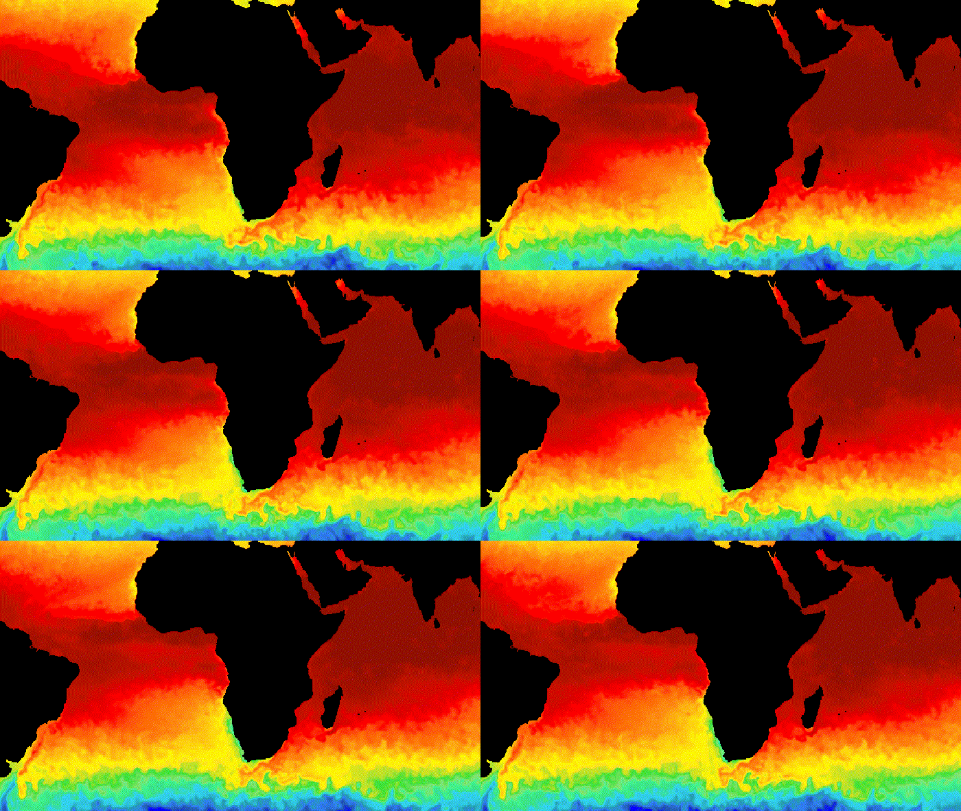
GEE veri kataloğu yüzey sıcaklığı verisi örneği (Earth Engine Data Catalog)
Google Earth Engine has diverse applications spanning numerous disciplines.
In forestry, GEE is used to monitor deforestation, forest degradation, and reforestation efforts. International initiatives such as Global Forest Watch leverage this platform to track forest loss in near real time.
Vegetation indices such as NDVI and EVI can be calculated via GEE to track agricultural production, identify cultivated areas, and estimate harvest yields. These analyses are used by both public institutions and private agricultural technology firms.
Temporal and spatial changes in surface water can be analyzed using Sentinel-1 and MODIS data. Parameters such as drought, evaporation, and groundwater levels can also be studied.
GEE is frequently used to map damage following disasters such as fires, floods, and earthquakes. For instance, after the 6 February 2023 earthquake in Türkiye, subsidence and uplift patterns in the affected region were analyzed using Sentinel-1 data.
Temporal analysis of urban expansion, changes in green spaces, and construction patterns along city boundaries can be studied using Google Earth Engine. This provides urban planners with scientific data to support decision-making.
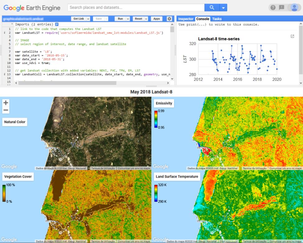
Google Earth Engine ile yapılan bir zamansal analiz makale çalışması (Sofia L. Ermida)
Azzari, G., and D. B. Lobell. “Landsat-Based Classification in the Cloud: An Opportunity for a Paradigm Shift in Land Cover Monitoring.” *Remote Sensing of Environment* 202 (2017): 64–74.Accessed Adresi
Google Earth Engine Developers. *Google Earth Engine Documentation*. 2024.Accessed Adresi
Gorelick, Noel, Matt Hancher, Mike Dixon, Simon Ilyushchenko, David Thau, and Rebecca Moore. “Google Earth Engine: Planetary-Scale Geospatial Analysis for Everyone.” *Remote Sensing of Environment* 202 (2017): 18–27.Accessed Adresi
Pekel, J. F., A. Cottam, N. Gorelick, et al. “High-Resolution Mapping of Global Surface Water and Its Long-Term Changes.” *Nature* 540 (2016): 418–422.Accessed Adresi

Google Earth Engine
Developer | |||||||||
|---|---|---|---|---|---|---|---|---|---|
Usage Language | JavaScript, Python | ||||||||
Data Source | Landsat, MODIS, Sentinel, CHIRPS etc. | ||||||||
Application Area(s) | Urban Planning Disaster Management Environment Forestry Agriculture | ||||||||
License | Free for academic and public users | ||||||||
No Discussion Added Yet
Start discussion for "Google Earth Engine (GEE)" article
Core Components of the Platform
Data Catalog
Analysis Infrastructure
Developer Interfaces
Application Areas
Forestry and Natural Environment Management
Agriculture and Crop Yield Estimation
Water Resource Monitoring
Disaster Risk Management
Urban Development and Planning
Advantages and Disadvantages
Advantages
Disadvantages