`remote-sensing` Related Article Results

Spatial Resolution in Satellite Images
Remote sensing is a technology based on the processing and interpretation of data collected from satellite, aircraft, or drone platforms using sensors that operate across various bands of the electromagnetic spectrum to obtain information about the Earth's surface. The success of these systems depends largely on the quality of their resolution components. In this context, spatial resolution — also known as geometric resolution — is crucial for determining the level of detail and the ability to d
EN
Betül Kırımlıoğlu

Photogrammetry
Photogrammetry is a scientific discipline that aims to obtain, measure, and interpret reliable information about the positions, shapes, and other characteristics of surfaces and objects without physical contact with them. The term is derived from the combination of three Greek words: “phos” or “phot” (light), “gramma” (something written or drawn), and “metrein” (to measure). In this context, photogrammetry essentially means “measuring with light.”Historical Development of PhotogrammetryPhotogram
EN
Salih Bozkurt

Spectral Resolution in Satellite Images
Satellite imaging systems play a critical role in remote perception applications. In these systems, spectral resolution defines which bands of the electromagnetic spectrum a sensor can detect and is a key factor in image analysis important. Sensors with higher spectral resolution can distinguish between different material and land cover types in greater detail by collecting data in narrower band intervals data. Spectral resolution can be achieved through hyperspectral and multispectral imaging s
ENBetül Kırımlıoğlu
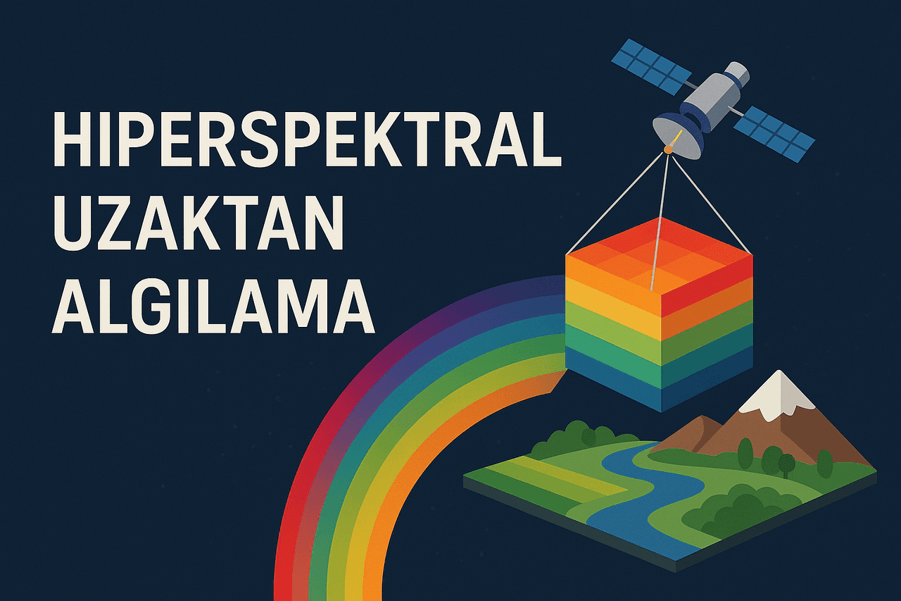
Hyperspectral Remote Sensing
Hyperspectral remote sensing is a remote sensing method that identifies the chemical and physical properties of objects by capturing detailed images across different wavelengths of the electromagnetic spectrum. This technique collects data across visible, infrared, and beyond spectral bands and is used in numerous fields including environmental monitoring, agriculture, mining, military applications, and urban planning. By revealing details invisible to the naked eye, hyperspectral remote sensing
ENBetül Kırımlıoğlu

Google Earth Engine (GEE)
Google Earth Engine (GEE) is a cloud-based Geographic Information System (GIS) and remote sensing platform developed by Google that enables the analysis of planetary-scale environmental data. GEE provides advanced computational infrastructure for monitoring, modeling, and analyzing environmental data over time such as surface temperature vegetation cover land use and water presence. By utilizing data derived from satellite imagery it offers a wide range of applications including land classificat
ENBetül Kırımlıoğlu

Damage Detection in Forest Fire Areas Using Satellite Imagery
Forest fires are natural disasters that cause severe damage to ecosystems. Accurate assessment of damage after Fire is critical for monitoring ecological recovery and planning reforestation initiatives to do. Satellite imagery is one of the most effective methods for fire detection, as it can cover vast areas in short time. Remote perception technologies enable the identification of fire-affected areas, classification of damage levels, and analysis of long-term ecosystem impacts long.One image f
ENBetül Kırımlıoğlu

Geomatics Engineering
Geomatics EngineeringTürkiye'de bulunan bazı üniversitelerde Harita Mühendisliği adı altında da eğitim verilmektedir. Uluslararası camiada Geomatik Mühendisliği (Geomatics Engineering) olarak geçmektedir.">【1】 is the engineering discipline concerned with the acquisition, processing, analysis, management, and presentation of spatial (geographic) data related to the Earth's surface and objects associated with it. This field encompasses a broad range of technological tools and methods, starting
ENSalih Bozkurt