

`nature-tourism` Related Article Results
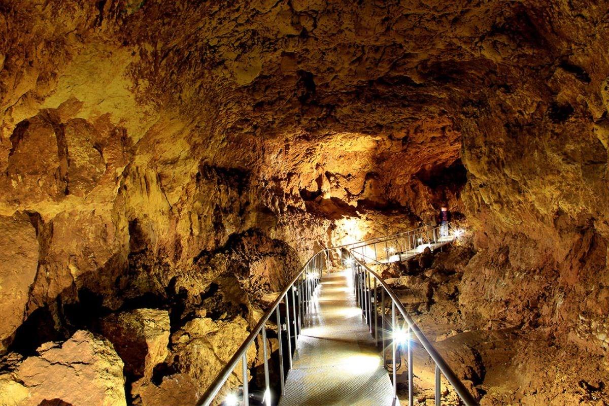
İncesu Cave
İncesu Mağarası is a subterranean formation located within the boundaries of Karaman in Türkiye’s Central Anatolia Region, notable for its natural features and developed tourist infrastructure. The cave was formed over millions of years through the erosion of limestone by underground water and exhibits natural speleothems such as stalactites, stalagmites, and columns, giving it the status of a natural heritage site. İncesu Mağarası (AA) " image-alternate="" image-element-format="right"> Geogr
EN
Beyza Başar
 Va
VaValla Canyon
Valla Canyon is located within the boundaries of Muratbaşı Village, Pınarbaşı District, Black Sea Region in Türkiye. canyon stretches 12 kilometers from the confluence of the Devrekani Çayı and Kanlıçay rivers toward the district of Cide. The cliff walls of the canyon vary in height from 800 to 1200 meters in places. Access to the area is provided via a 1.5-kilometer-long footpath road that passes through forest. Valla Canyon possesses a highly impressive geological structure. Noted for its dept
EN
Sümeyra Uzun
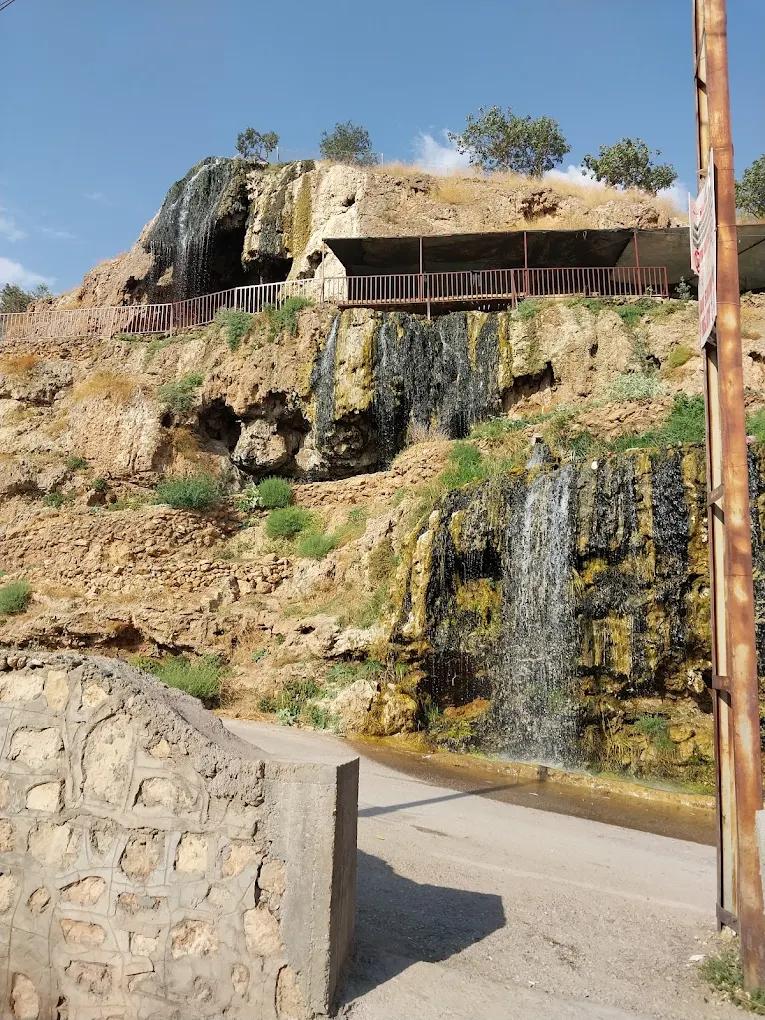
Derik Gap Waterfall
Derik GAP Waterfall is located within the boundaries of the Derik district in Mardin Province, in Türkiye’s Southeastern Anatolia Region. Status and Protection Status The Derik GAP Waterfall has been granted the status of “nature park” by the Ministry of Agriculture and Forestry. The area is protected under the Forestry Law and managed for the sustainable use of its natural resources. Physical Characteristics The waterfall features natural stream sources and surrounding vegetation, contributing
EN
Zelal Çakar
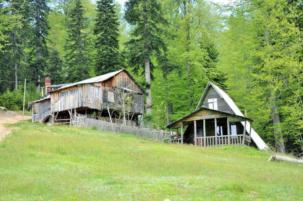
Derebalık Plateau
Derebalık Yaylası is a high-altitude plateau located within the boundaries of Yığılca district, Düzce Province, renowned for its natural beauty and walking trails. The plateau exhibits the humid climatic characteristics of the Black Sea Region and is an important destination for both traditional transhumance practices and nature-based tourism. Geographical Location and Regional Access Derebalık Yaylası is administratively affiliated with Yığılca district and lies approximately 25 kilometres from
EN
Yusuf İslam Tuğla
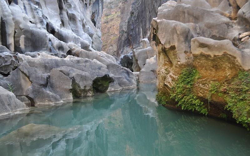
Gezende Canyon (Mersin)
Gezende Canyon is located within the boundaries of Gülnar district in Mersin Province, in Türkiye’s Mediterranean Region. The canyon is situated in the upper basin of the Göksu River, around the Gezende Dam. This area, approximately 30 kilometers from the district center, is surrounded by the neighborhoods of Saray and Zeyne to the north. Geographically positioned within the western extensions of the Taurus Mountains, the canyon features a rugged topography and lies at an average elevation of 80
ENZelal Çakar

What is Obruk?
Obruk are large, deep depressions formed by the collapse of underground cavities. Over time, water dissolves soluble rocks such as limestone beneath the soil, creating voids. Eventually, these cavities can no longer support the weight of the overlying soil and collapse suddenly, forming the large depressions known as obruk. Where Are Obruk Found? One of the areas in Türkiye with the highest concentration of obruk is the Konya Plain and the surrounding Obruk Plateau. In this region, there is an a
EN
İbrahim Filiz
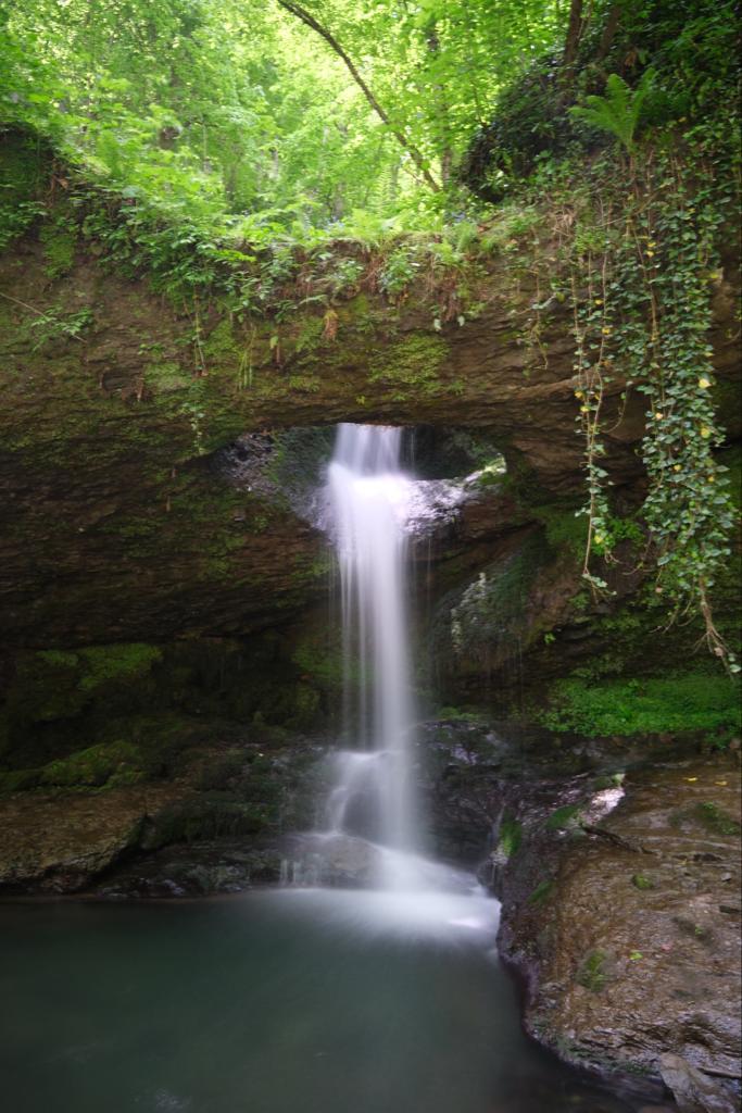
Deliklikaya Waterfall
Deliklikaya Şelalesi is a natural formation located within the boundaries of Artvin Province in Türkiye, under the jurisdiction of the Murgul district. The waterfall is surrounded by vegetation and emerges where water filters through rocky formations. The area, which displays varying appearances with seasonal changes, is favored by both local residents and visitors. The region holds ecological importance due to its vegetation cover and biodiversity and serves as a destination for nature tourism.
EN
Zahra Çelebioğlu
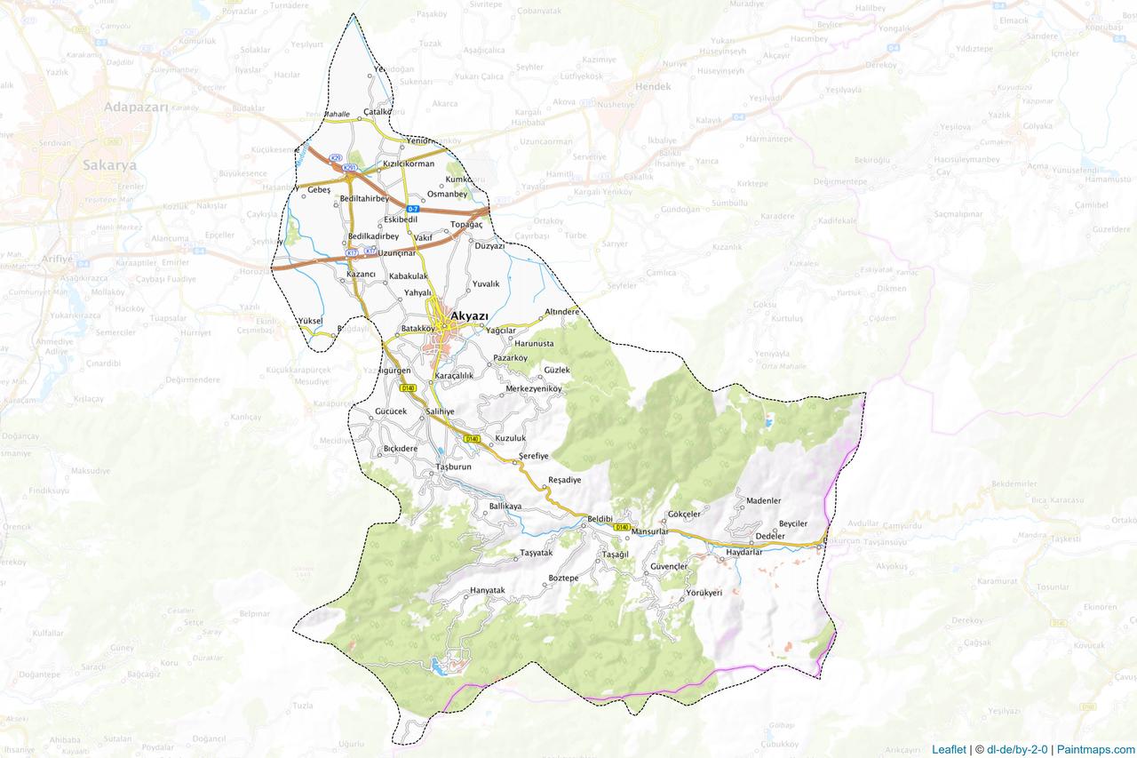
Akyazı (District)
Akyazı, is located within the boundaries of Sakarya Province in the Eastern Marmara subregion of the Marmara Region. It borders Hendek and Mudurnu to the east, Erenler and Karapürçek to the west, Adapazarı to the northwest, and Bolu-Göynük to the south. According to TÜİK 2024 data, its population is 98,098. History The history of Akyazı extends back to the Mysia and Bithynia periods. It was part of the Kingdom of Bithynia, which existed from the 9th century BC to the 4th century AD. The region c
EN
Melahat Pamuk
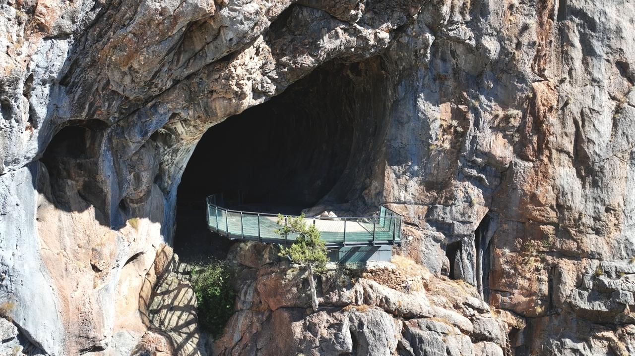
Derebucak Çamlık Caves
Derebucak Çamlık Mağaraları Milli Parkı, located within the boundaries of Derebucak district in Konya Province, Türkiye, is a protected natural area covering 7,477.1 decares. It was declared a Natural Monument in 2013 and gained national park status in 2022. The area is known for its karstic structure containing 15 caves, underground water systems, and ecosystem features associated with the Toros Mountains. The national park encompasses approximately 7,477.1 decares and features a landscape char
EN
Berna Çamur
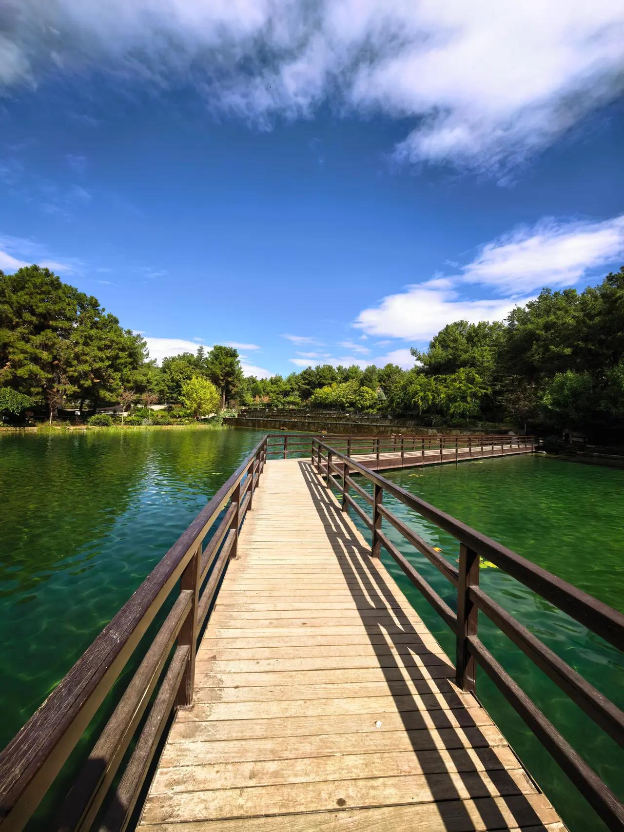
Dülükbaba Nature Park
Dülükbaba Nature Park is a protected area located within the boundaries of the Şehitkamil district of Gaziantep Province in Türkiye’s Southeastern Anatolia Region. It is situated approximately 8 kilometers from the center of Gaziantep, at the Dülük locality. The park lies along the Gaziantep-Adana State Highway and covers a total area of 306 hectares. Due to its geographic position among the city’s highest elevations, it offers a broad panoramic vista. Historical Development and Legal Status The
EN
Mehmet Hakkı Erişen