
`cartography` Related Article Results
Geomatics Engineering
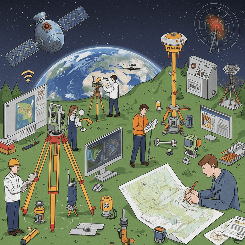
Geomatics Engineering【1】 is the engineering discipline concerned with the acquisition, processing, analysis, management, and presentation of spatial (geographic) data related to the Earth’s surface and objects associated with it. This field encompasses a wide range of technological tools and methods, starting from classical surveying techniques to satellite positioning systems (GPS/GNSS), remote sensing, geographic information systems (GIS), photogrammetry, LiDAR, RADAR, and map production. The
EN
Salih Bozkurt
HAVELSAN KASHIF
KASHIF is a modular Geographic Information System (GIS) solution developed by HAVELSAN. It consists of three main modules: separate client libraries for desktop and web applications (KASHIF-J and KASHIF-W) and a server component (KASHIF-S). Its purpose is to provide situational awareness by collecting processing and visualizing real-time and historical geospatial data for land sea and air operations. History and Development Process The foundations of KASHIF were laid in the late 1990s through GI
EN
Kübra Parçalar
 Py
PyPythagorean Theorem
The Pythagorean Theorem is a fundamental geometric theorem that describes the relationship between the three sides of a right triangle. According to this theorem, in a right triangle the square of the hypotenuse is equal to the sum of the squares of the other two sides. Mathematical Expression of the Pythagorean Theorem " image-alternate="" image-element-format="right"> Historical Development Although the Pythagorean Theorem is named after the ancient Greek mathematician Pythagoras (c. 570–49
EN
Ömer Said Aydın
Gauss-Krüger Projection
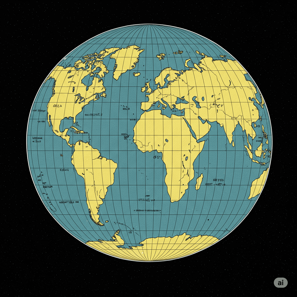
The Gauss-Krüger projection is a transverse cylindrical projection that conformally (angle-preserving) maps the surface of the Earth ellipsoid onto a plane. This projection is scale-free along the central meridian and is primarily used to establish a plane rectangular coordinate system for geodetic applications. Historical Development The foundation of this projection was laid by Carl Friedrich Gauss between 1820 and 1830 during his evaluation of triangulation results in Hanover. Gauss worked on
ENSalih Bozkurt
MaMap Projections
Map projection is the process of transforming a curved reference surface such as a sphere or ellipsoid defined for the Earth’s surface onto a plane through a geometric transformation. Mathematically, it is defined by a pair of functions that establish the relationship between the reference surface coordinate system and the plane coordinate system. This transformation is known as the “forward transformation”; the transition from plane coordinates back to reference surface coordinates is called th
EN
Yunus Emre Yüce
Geomatics Engineering
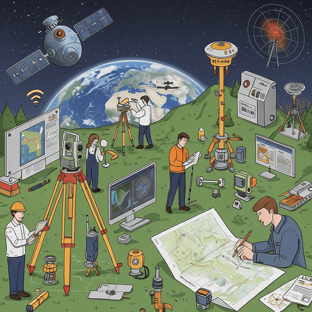
Geomatics EngineeringTürkiye'de bulunan bazı üniversitelerde Harita Mühendisliği adı altında da eğitim verilmektedir. Uluslararası camiada Geomatik Mühendisliği (Geomatics Engineering) olarak geçmektedir. ">【1】 is the engineering discipline concerned with the acquisition, processing, analysis, management, and presentation of spatial (geographic) data related to the Earth's surface and objects associated with it. This field encompasses a broad range of technological tools and methods, starting
EN
Salih Bozkurt
Albayrak Ridge Memorial
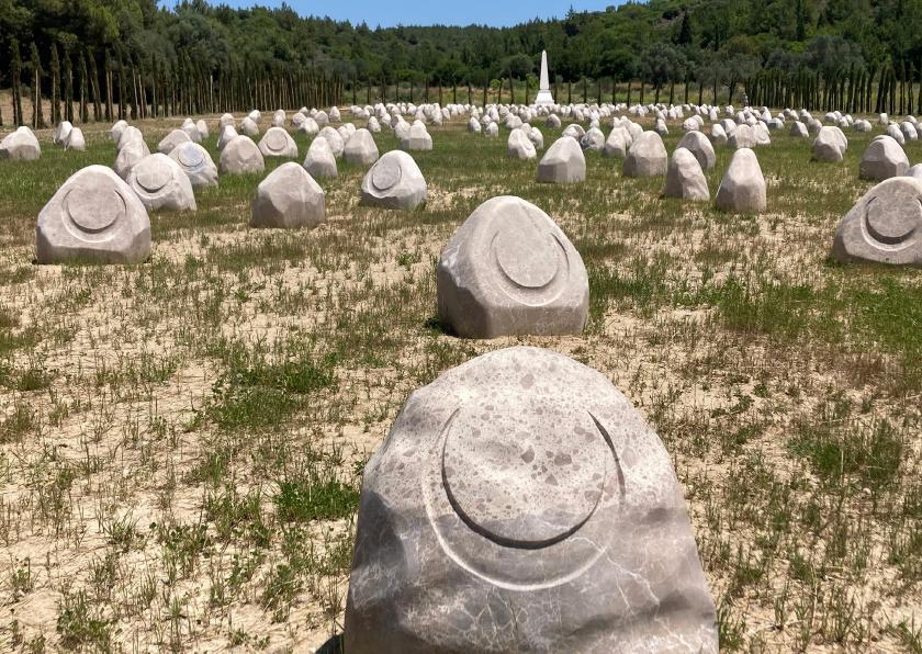
Albayrak Sırtı Şehitliği is a military cemetery located along the southern boundary of the Arıburnu Front and immediately behind the Turkish frontline. It was established to honor the memory of soldiers who lost their lives in the fierce battles that took place from April 25, 1915, at the outset of the Land Battles, until the evacuation of the front on December 20, 1915. The Turkish offensives on April 27, May 1, and May 19, during which some of the bloodiest clashes of the Arıburnu region occur
EN
Gözde Cabadak
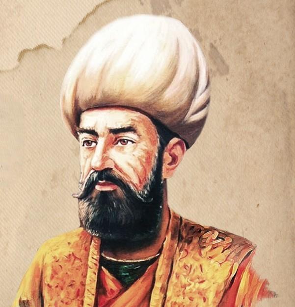
Piri Reis
Known by his real name Muhyiddin Pîrî, Pîrî Reis is regarded as one of the most prolific figures in 16th-century Ottoman maritime history, both militarily and scientifically. He held high-ranking positions in the navy during the reigns of Yavuz Sultan Selim and Kanuni Sultan Süleyman, but gained his lasting fame through his works that entered the annals of global cartography. His career, which began with Mediterranean piracy (gaza), culminated in official state admiralship and ended under the sh
ENBirgül Kayık