


This article was automatically translated from the original Turkish version.
+1 More
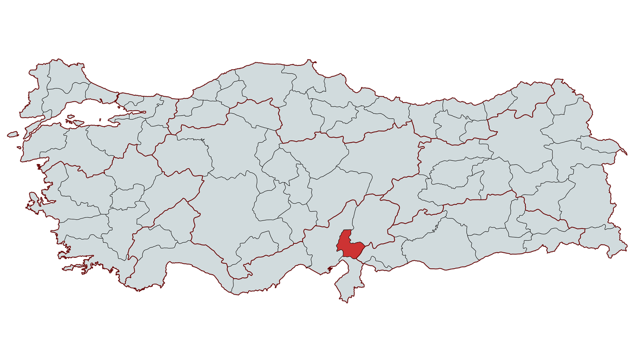
Osmaniye
Country | Türkiye | ||||||||
|---|---|---|---|---|---|---|---|---|---|
Region | Mediterranean Region | ||||||||
Population | 561.061 (2024) | ||||||||
Area | 3.279,9 km² | ||||||||
Climate | Mediterranean Climate | ||||||||
Important Structure | Toprakkale Castle Ala Cami Karatepe-Aslantaş Open-Air Museum Kastabala Ancient City Ceyhan River and Dams | ||||||||
Governor | Erdinç Yılmaz | ||||||||
Mayor | İbrahim Çenet | ||||||||
Area Code | 328 | ||||||||
License Plate Code | 80 | ||||||||
Osmaniye is a province located in southern Türkiye, within the Mediterranean Region. With an area of 3,767 square kilometers, Osmaniye had a population of 561,061 according to 2023 data from the Turkish Statistical Institute (TÜİK). Situated east of Çukurova and on the eastern bank of the Ceyhan River, Osmaniye is an important transit point due to its fertile lands and strategic location. It borders Gaziantep to the east, Hatay to the south, Adana to the west and Kahramanmaraş to the north.
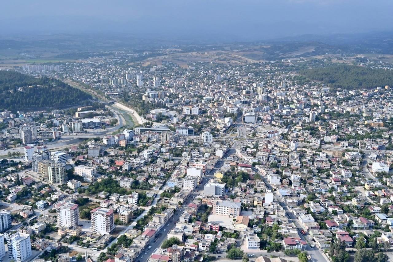
Osmaniye – Sabah Gazetesi
Osmaniye and its surroundings have been under the dominion of various civilizations and have served as a stage for the political, economic and military activities of numerous states. Settlement traces in the region extend back to prehistoric times, and archaeological research indicates human communities have inhabited the area since the Paleolithic Age. One of the region’s most important historical sites, the Karatepe-Aslantaş Open-Air Museum, contains remains from the Late Hittite period.
The earliest known political dominion over Osmaniye was established by the Hittites in the 2nd millennium BCE. After the collapse of the Hittite Empire, the region came under the control of the Assyrians, Persians and Macedonians. Following Alexander the Great’s defeat of the Persians in 333 BCE, Osmaniye and its surroundings were incorporated into the Macedonian Kingdom. After Alexander’s death, the region became a battleground between the Seleucid and Ptolemaic kingdoms and was later absorbed into the Roman Empire. With the division of the Roman Empire, Osmaniye remained within the boundaries of the Eastern Roman (Byzantine) Empire.
In the 7th century, the region came under Islamic rule following campaigns by the Umayyads and Abbasids. However, prolonged border conflicts continued between the Byzantines and Muslim forces. In the late 11th century, following the Battle of Manzikert (1071), the Seljuk Turks intensified their raids into the region and incorporated Osmaniye into their administration.
With the decline of the Anatolian Seljuk State, the region became a contested area between the Mamluks and the Armenian Kingdom. In the 14th century, the Dulkadirids annexed Osmaniye to their territory, but in 1517, during the Ottoman campaign in Egypt, the region came under Ottoman sovereignty.
During the Ottoman period, Osmaniye was part of the Aleppo Eyalet and Turkish tribal groups were settled in the region. In the 19th century, the central Ottoman administration sought to settle the nomadic tribes and transition them to a sedentary lifestyle. In 1878, Osmaniye was organized as a district under the Adana Vilayet.
After the proclamation of the Republic, Osmaniye became a province in 1924 but was downgraded to a district of Adana in 1933. On 24 October 1996, it regained its provincial status. Today, Osmaniye has an economic structure dominated by agriculture and industry.
Throughout history, the region has been influenced by various political structures and communities, and this process has been one of the key factors shaping Osmaniye’s demographic and cultural structure.
Osmaniye is located in the eastern part of the Mediterranean Region and Çukurova. The city lies between 35° 52’ and 36° 42’ East longitude and 36° 57’ and 37° 45’ North latitude. It borders Gaziantep to the east, Hatay to the south, Adana to the west and Kahramanmaraş to the north. Osmaniye covers an area of 3,279.9 square kilometers, lies at an elevation of 121 meters above sea level and is located 20 kilometers from the Mediterranean coast.
Osmaniye is one of the more varied cities in terms of surface features. The terrain rises from south to north and eastward. The western sections consist of the eastern extensions of the Adana Plain, while to the south lie the Amanos Mountains (Gavur Mountains), extending eastward from the İskenderun Gulf. The Taurus Mountains are found in the northwest and northeast, while to the east are the Dumanlı, Düldül and Tırtıl mountains. Between the mountains and plains, gently undulating terrain prevails. The most extensive flat areas are located in the central district, Toprakkale, Kadirli and Düziçi. The highest mountains in the city are Düldül Mountain (2,400 meters) and Turna Mountain (2,285 meters).
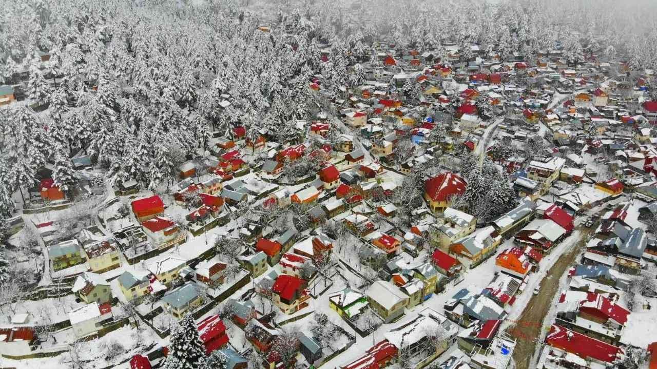
Osmaniye Zorkun Yaylası – Milli Gazete
Although the climate in Osmaniye varies according to its mountainous and plain areas, it generally exhibits characteristics of the Mediterranean climate. Summers are hot and dry, while winters are mild and rainy. The annual average temperature in Osmaniye is 18.2°C, with maximum temperatures reaching up to 42.8°C. Rainfall is most abundant in winter and autumn, with an annual average of 767.6 millimeters.
The full range of Mediterranean vegetation thrives in Osmaniye. Particularly notable are species unique to this region, including Krakos, Çukurova Orchid and Çukurova Violet. Forests and shrublands contain various tree species such as pine, Aleppo pine, black pine, oak, cypress, mastic tree, fir, cedar, juniper, beech, black poplar and red maple.
Osmaniye’s population structure has been shaped by historical migration patterns, with economic and geographic factors serving as primary determinants of demographic change. According to 2024 data from the Turkish Statistical Institute (TÜİK), Osmaniye’s total population is recorded at 561,061. Population distribution varies according to urbanization trends and socioeconomic dynamics.
A significant portion of the province’s population is concentrated in the central district of Osmaniye, followed by Kadirli, Düziçi, Bahçe, Hasanbeyli, Sumbas and Toprakkale districts. The urbanization rate in Osmaniye has increased in parallel with the development of industry and agriculture. At the same time, internal migration from rural areas toward urban centers is clearly observed.
Fertility rates are close to the national average, but the migration of the young population to large cities has led to shifts in age distribution. Migration is a decisive factor in the province’s demographic structure, influenced by employment opportunities, educational facilities and socioeconomic conditions.
Ethnically, the majority of Osmaniye’s population descends from Oghuz Turkmen tribes. Additionally, it is known that various communities settled in the region throughout history. Linguistically, Turkish is the predominant language, although some rural areas retain local dialectal features.
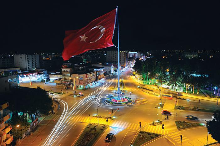
Osmaniye Devlet Bahçeli Meydanı – Osmaniye Belediyesi
Osmaniye’s economy is based on agriculture and animal husbandry. Thanks to its exceptionally fertile soils within Çukurova, crops such as cotton, wheat, barley, olives and peanuts are cultivated. Approximately 50 percent of Turkey’s peanut production comes from Osmaniye. Livestock farming, forestry and industry also play significant roles in the provincial economy. Small and medium-sized industrial enterprises, along with organized industrial zones, further strengthen the industrial sector.
Osmaniye Korkut Ata University is the first and only university in Osmaniye, providing education to approximately 9,000 students across five faculties, two institutes, five vocational colleges and three colleges.
The main campus is located at the Karacaoğlan Campus, which houses the Faculties of Engineering, Arts and Sciences, Economics and Administrative Sciences, Architecture, Design and Fine Arts, and Theology, along with institutes and vocational colleges. In the districts, vocational colleges operate in Kadirli, Bahçe, Düziçi and Erzin, alongside the Kadirli Applied Sciences College.
Osmaniye is a city notable for its historical and natural attractions. Key historical and natural sites include:
Osmaniye cuisine reflects the rich flavors of the Mediterranean and Çukurova regions. Key local dishes include:
Osmaniye consists of six districts:
Karatay Üniversitesi Osmaniya Research Center. *Osmaniye Hakkında Bilinmesi Gerekenler.* Accessed February 13, 2025.https://karsem.karatay.edu.tr/osmaniye-hakkinda-bilinmesi-gerekenler.
Osmaniye Belediyesi. *Osmaniye Belediyesi Resmî Web Sitesi.* Accessed February 13, 2025.https://osmaniye-bld.gov.tr/.
Osmaniye Korkut Ata University. "Osmaniye Korkut Ata Üniversitesi Resmî Web Sitesi." Accessed February 13, 2025.https://www.osmaniye.edu.tr.
Osmaniye Valiliği. *Osmaniye Valiliği Resmî Web Sitesi.* Accessed February 13, 2025.http://www.osmaniye.gov.tr/.
Osmaniye İl Özel İdaresi. *Osmaniye Kısa Tarihçesi.* Accessed February 13, 2025.http://www.osmaniyeozelidare.gov.tr/kisa-tarihcesi.

Osmaniye
Country | Türkiye | ||||||||
|---|---|---|---|---|---|---|---|---|---|
Region | Mediterranean Region | ||||||||
Population | 561.061 (2024) | ||||||||
Area | 3.279,9 km² | ||||||||
Climate | Mediterranean Climate | ||||||||
Important Structure | Toprakkale Castle Ala Cami Karatepe-Aslantaş Open-Air Museum Kastabala Ancient City Ceyhan River and Dams | ||||||||
Governor | Erdinç Yılmaz | ||||||||
Mayor | İbrahim Çenet | ||||||||
Area Code | 328 | ||||||||
License Plate Code | 80 | ||||||||
No Discussion Added Yet
Start discussion for "Osmaniye (Province)" article
History
Ancient Period
Middle Ages and Islamic Period
Ottoman Period
Republican Era and Present Day
Geography
Topography
Climate
Vegetation
Major Rivers
Population and Demographics
Economy
Education
Culture and Tourism
Osmaniye Cuisine
Districts