This article was automatically translated from the original Turkish version.
+2 More
Kestel Canyon
Geographical Type | Canyon | ||||||||
|---|---|---|---|---|---|---|---|---|---|
Activities | Canyoning Sport hunting tourism | ||||||||
Physical Structure | Steep and rocky terrain Waterfalls Deep valleys | ||||||||
Location | Dağpazarı area around Mut district, Mersin Province | ||||||||
Rakım | 200–1900 metres | ||||||||
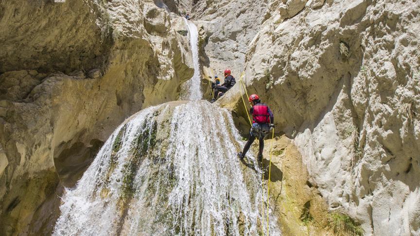
Kestel Canyon is a canyon located within the boundaries of the Mut district of Mersin and situated within a Wildlife Development Area. The canyon, positioned around Dağpazarı, is formed by the deep valleys created by the Kestelkapızı Stream and the Söğütözü Stream. The area is characterized by steep rocky terrain, waterfalls, water basins, and significant elevation differences. The canyon lies within a protected zone for wild goats and is one of the natural sites used for technical canyon traversals.
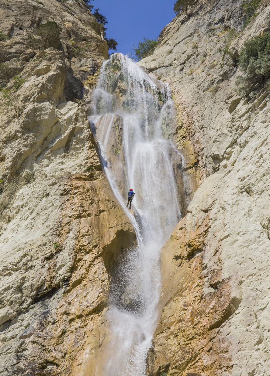
Kestel Kanyonu (Anadolu Ajansı)
Kestel Canyon is located in the Mut district of Mersin Province. The canyon area falls within the administrative boundaries of the neighborhoods of Yıldız, Topluca, Esençay, Gençali, and Dağpazarı. It is approximately 20 kilometers from the center of Mut district and about 180 kilometers from the center of Mersin city. Access to the region is provided via the Mut–Dağpazarı road.
The canyon is approximately five kilometers long. The terrain features steep rocky slopes narrow passages deep water basins and waterfalls creating a fragmented topography. The canyon system includes continuous flowing water sections. Significant elevation differences occur in places with vertical drops exceeding 100 meters in some areas.
Kestel Canyon has developed within a valley system marked by high slopes and fragmented terrain. Along the canyon deep fissures rock hollows water basins and narrow gorges have formed. Continuous water sources in the interior sections feed numerous waterfalls.
In the eastern branch elevation differences reach approximately 1100 meters. Some sections feature waterfalls requiring technical descents. The longest waterfall descent reaches about 85 meters. Within the canyon there are numerous rope descents ranging from 10 to 85 meters in height.【1】 Deep water pools siphon structures and high-flow stream beds further complicate passage.
The area containing Kestel Canyon is designated as a protected zone for the conservation of wild goats. The region was officially protected in 1987 as a “Wild Goat Conservation and Breeding Area” and later reclassified as a “Wildlife Development Area.” The protected area spans 4546.47 hectares.【2】 The primary protected species is the wild goat. Official records indicate approximately 400 wild goats inhabit the area. There are no permanent settlements within the zone only seasonal summer pastures are used.
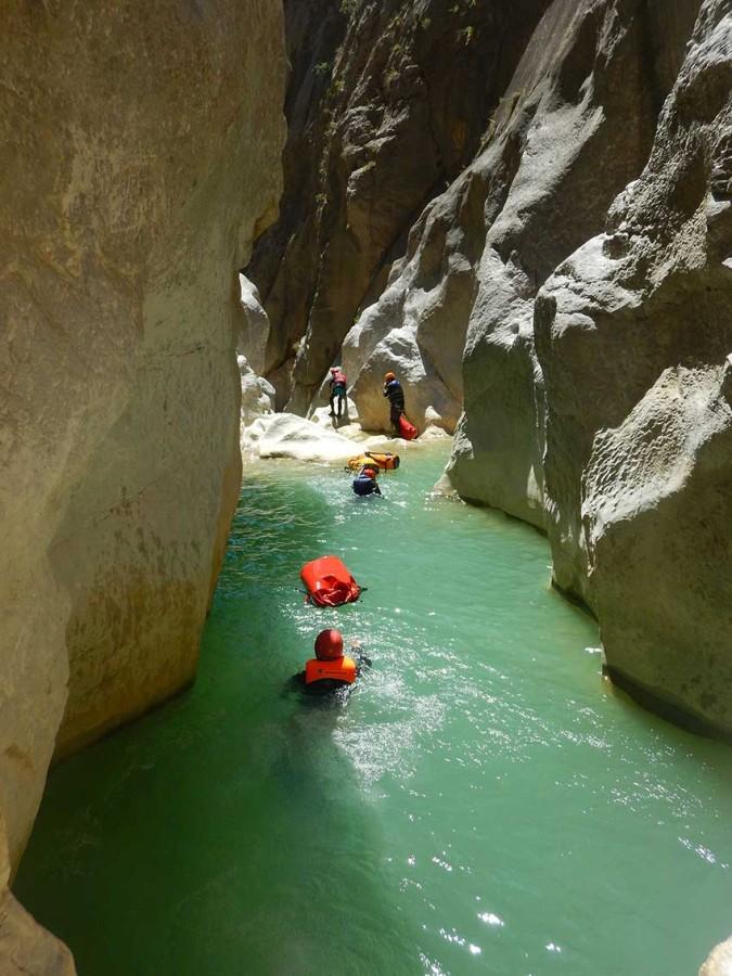
Kestel Kanyonu (Mut Belediyesi)
Kestel Mountain and its surroundings encompass a wide range of vegetation zones across varying elevations. The study area ranges from approximately 200 meters to 1900 meters above sea level.【3】 This variation has led to the formation of distinct ecosystem types.
The area includes aquatic ecosystems terrestrial zones forested regions subalpine zones and high mountain ecosystems. The dominant tree species are red pine cedar black pine juniper and oak. In addition shrubs herbaceous plants and various geophytes are also widespread.
Kestel Canyon and its surroundings support a diverse animal community. Species present include the wild goat as the primary species as well as the bezoar ibex wild boar hare hedgehog red squirrel jackal wolf fox porcupine rock partridge and badger.
The region is also rich in bird species including the chukar partridge snake eagle goshawk falcon black kite honey buzzard lesser spotted eagle spotted woodpecker great spotted woodpecker hoopoe rock pigeon griffon vulture sparrow raven rook and kestrel. Additionally reptiles such as bats and the Taurus lizard as well as other reptile species inhabit the area.
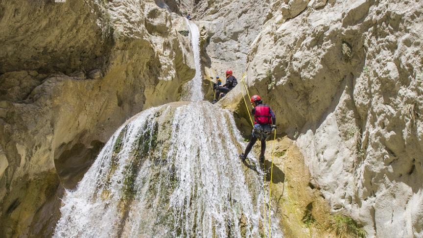
Exploratory Studies Conducted in Kestel Canyon (Anadolu Ajansı)
Kestel Canyon has become one of the sites in Türkiye where technical canyon traverses are conducted. Following exploration efforts by the Anatolian Canyoning Specialized Sports Club the eastern branch of the canyon was mapped and routified. Initial exploration began in 2012. Subsequent traverses examined different sections of the canyon identified descent points and completed technical route planning. The sportive traverse of the eastern branch was completed in 2018.
During canyon traverses long rope systems camping equipment and technical descent gear are used. Some sections require swimming. Deep pools narrow rock passages and high-flow streams complicate navigation. The canyon contains numerous technical descent points and includes multi-day camping segments.
Hunting tourism activities are conducted within the area of Kestel Canyon. Wild goat hunting is permitted within designated quotas. The area has not been developed for recreational use. A single ranger station exists within the zone. Uncontrolled access is restricted due to its protected status. Technical canyon traverses require official permission and advanced experience.
Anadolu Ajansı. “Kestel Kanyonu artık sportif olarak geçilebilecek.” Accessed May 16, 2026.https://www.aa.com.tr/tr/yasam/kestel-kanyonu-artik-sportif-olarak-gecilebilecek-/1227304
Mersin Mut Belediyesi. "Kestel Kanyonu." Mersin Mut Belediyesi Resmi Web Sitesi. Accessed May 16, 2026.https://mut.bel.tr/tarihi-merkez/32
T.C. Ministry of Agriculture and Forestry. “Mersin Mut Kestel Dağı YHGS.” Doğa Turizmi Web Uygulaması. Accessed May 16, 2026.https://ekotaban.tarimorman.gov.tr/alan/546
[1]
Anadolu Ajansı, “Kestel Kanyonu artık sportif olarak geçilebilecek,” Anadolu Ajansı, erişim tarihi: 16 Haziran 2026, https://www.aa.com.tr/tr/yasam/kestel-kanyonu-artik-sportif-olarak-gecilebilecek-/1227304
[2]
T.C. Tarım ve Orman Bakanlığı Doğa Koruma ve Milli Parklar Genel Müdürlüğü, “Mersin Mut Kestel Dağı YHGS,” EkoTaban – Doğa Turizmi Web Uygulaması, erişim tarihi: 16 Haziran 2026, https://ekotaban.tarimorman.gov.tr/alan/546
[3]
T.C. Tarım ve Orman Bakanlığı Doğa Koruma ve Milli Parklar Genel Müdürlüğü, “Mersin Mut Kestel Dağı YHGS.”
Kestel Canyon
Geographical Type | Canyon | ||||||||
|---|---|---|---|---|---|---|---|---|---|
Activities | Canyoning Sport hunting tourism | ||||||||
Physical Structure | Steep and rocky terrain Waterfalls Deep valleys | ||||||||
Location | Dağpazarı area around Mut district, Mersin Province | ||||||||
Rakım | 200–1900 metres | ||||||||
Geographical Location and General Characteristics
Geomorphological Structure
Wildlife Development Area
Flora
Fauna
Canyoning and Technical Passages
Land Use and Activities