


This article was automatically translated from the original Turkish version.
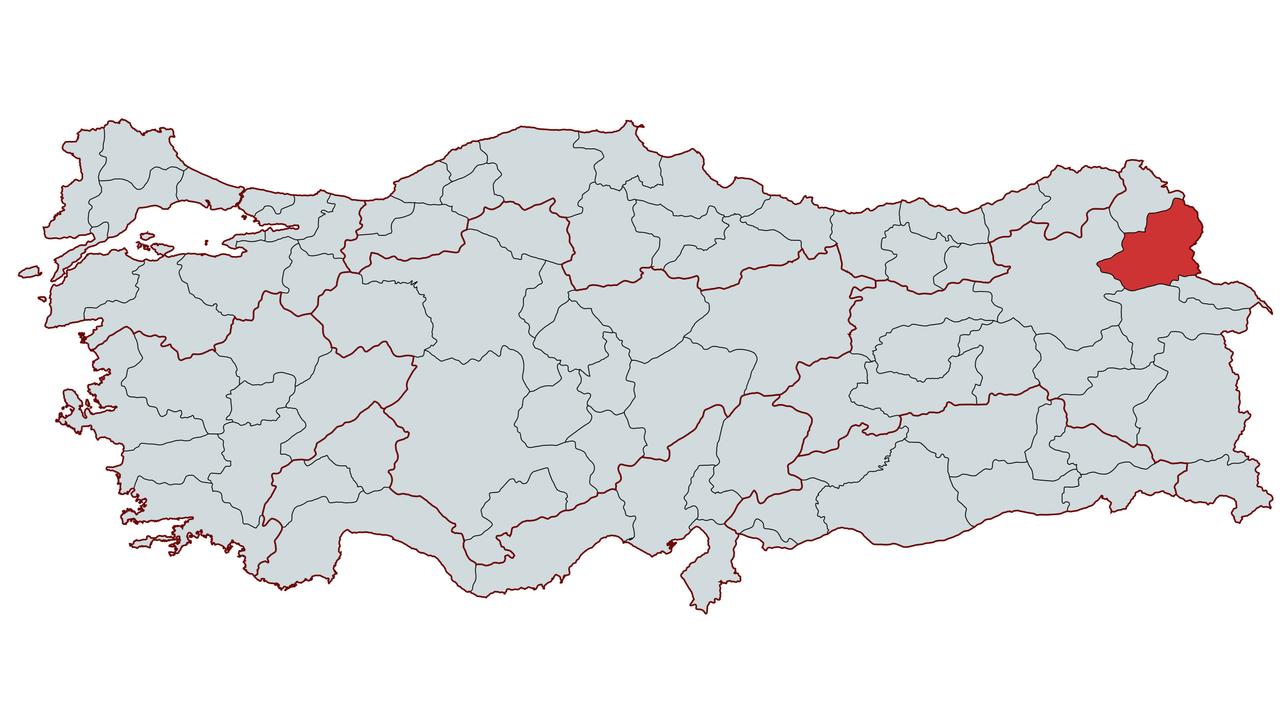
Kars
Country | Türkiye | ||||||||
|---|---|---|---|---|---|---|---|---|---|
Region | Eastern Anatolia Region | ||||||||
Population | 272.300 (2024) | ||||||||
Area | 10.193 km² | ||||||||
Climate | Continental Climate | ||||||||
Area Code(s) | 474 | ||||||||
License Plate Code | 36 | ||||||||
Governor | Karasal İklim | ||||||||
Mayor | Prof. Dr. Ötüken Senger | ||||||||
Kars is a province located in the northeast of Türkiye, within the Erzurum-Kars section of the Eastern Anatolia Region. Throughout history, this city has come under the rule of various civilizations. During the Ottoman period, it became an important military center and in the 19th century emerged as one of the key theaters of the Ottoman-Russian wars.
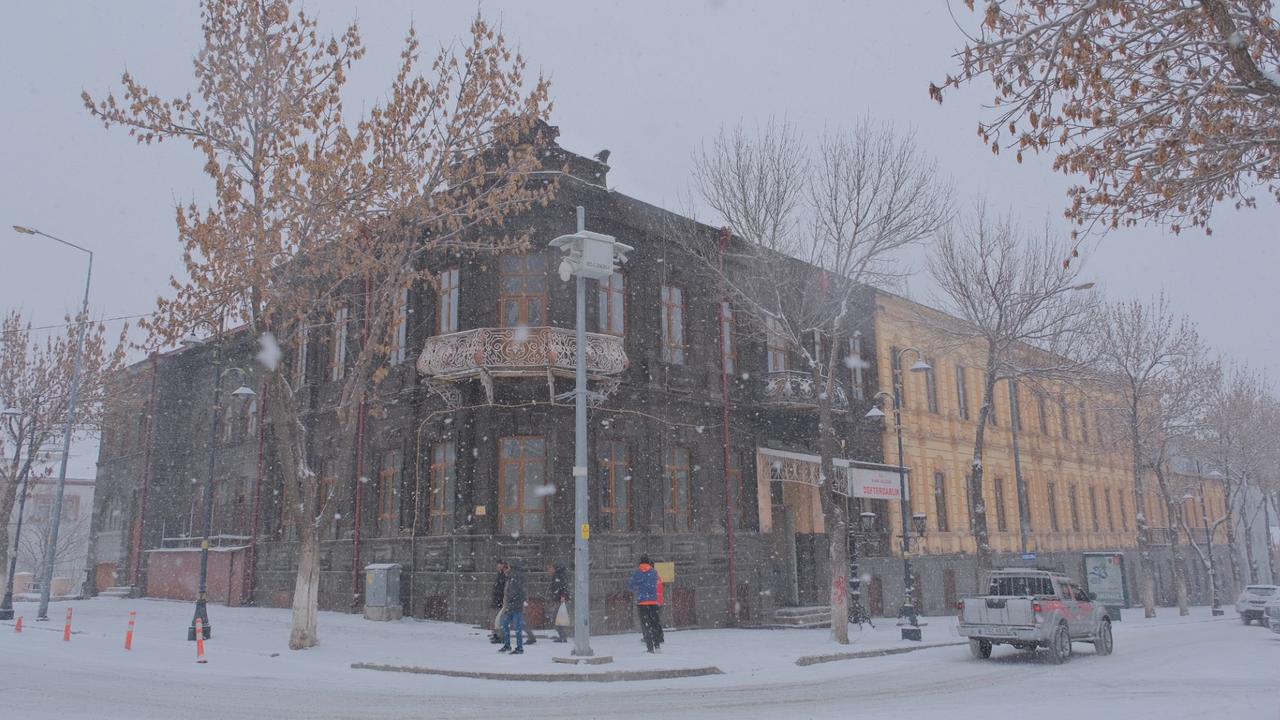
Kars - TRT Haber
According to archaeological research, the history of Kars extends back to the Chalcolithic period. Findings from the region’s mounds and stone tools indicate evidence from the Paleolithic and Chalcolithic eras. The Urartians dominated the region in the 9th century BCE, after which it was invaded by the Cimmerians and Scythians. The region later came under the control of the Medes, Persians, Parthians, and the Roman Empire. During the Byzantine-Sasanian conflicts, Kars frequently changed hands until it was conquered by the Seljuks in 1064.
Following the Mongol invasions of the 13th century, Kars passed under the control of the Ilkhanids, Kara Koyunlu, Ak Koyunlu, and Safavids. In the 16th century, it was incorporated into the territories of the Ottoman Empire.
During the Ottoman period, Kars gained strategic importance as a military base and became one of the major fronts in the Ottoman-Russian wars of the 19th century. In the 1855 Ottoman-Russian War, the defense mounted by the people of Kars and the Ottoman army resulted in a significant victory for the Ottomans. As a result of this victory, Kars was granted the honorific title of “Gazi”.
Following the 1877–1878 Ottoman-Russian War, Kars remained under Russian administration for 40 years, during which new urban development projects were undertaken. After the Bolshevik Revolution of 1917, Kars was first occupied by the British and then by the Armenians.
On 30 October 1920, the Turkish army recaptured Kars. Through the Treaty of Moscow on 16 March 1921 and the Treaty of Kars on 13 October 1921, Kars was officially recognized internationally as part of Türkiye. After the proclamation of the Republic, it attained provincial status and has continued to serve as an administrative center.
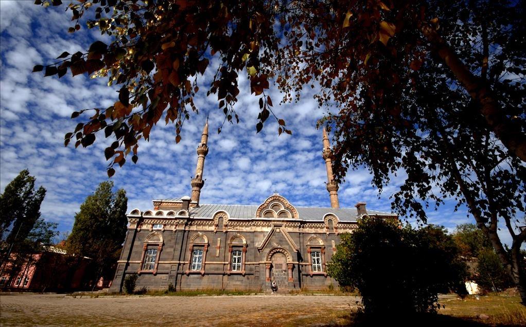
Kars Selimiye Camii - AA
Kars is located in the northeast of the Eastern Anatolia Region. It is bordered by Ardahan to the north, Armenia to the east, Iğdır and Ağrı to the south, and Erzurum to the west. The province covers an area of 10,193 km².
Kars has a severe continental climate. Winters are long and cold, while summers are short and cool. During winter months, temperatures can drop as low as -39°C and snow cover can remain on the ground for up to 120 days.
The vegetation of Kars is predominantly steppe. Pine forests are found around Sarıkamış. The high plateaus of the region are covered with grasslands and are suitable for animal husbandry.
Important elevations in Kars include the Allahuekber Mountains, Kısır Mountain, Akbaba Mountain and Aladağ. The Kars Plain is one of the province’s largest agricultural areas and holds significant importance for agricultural production.
The major rivers in the province are the Aras River, Arpaçay and Kars River. The main lakes are Çıldır Lake, Aygır Lake and Karzak Lake.
Economic activities in Kars are largely based on agriculture and animal husbandry. Wheat, barley and sugar beet are the main agricultural products. Animal husbandry plays a significant role in the provincial economy, particularly large-scale livestock farming. The province is known nationally for its production of Kars Kaşar and Graviera cheese.
The industrial sector is limited, with existing industrial facilities primarily consisting of food enterprises based on agriculture and animal husbandry. The Kars Organized Industrial Zone was established to develop the province’s industrial infrastructure.
Kars has tourism potential due to its historical structures and natural beauty. The Ani Ruins are a major cultural heritage site. Sarıkamış Ski Center is considered an important destination for winter tourism.
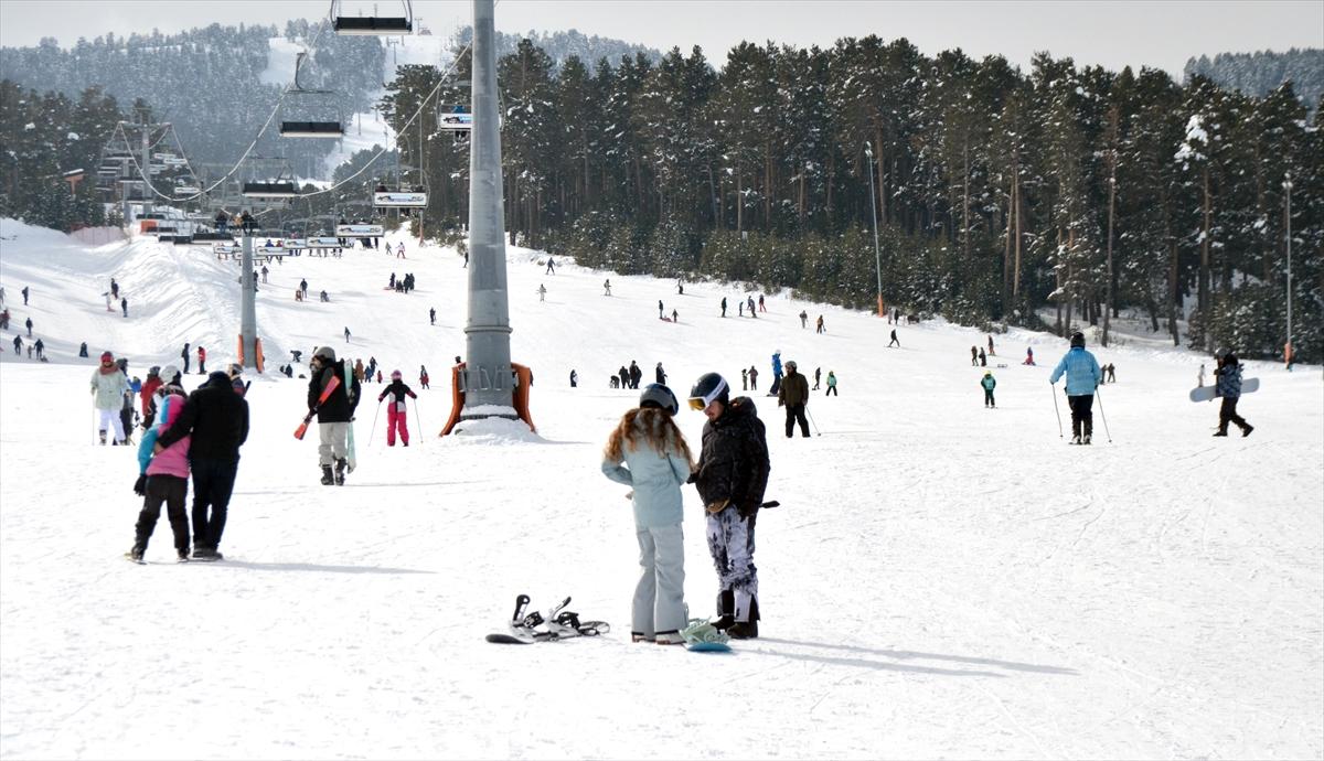
Sarıkamış Kayak Merkezi - TRT Haber
According to TÜİK data, the population of Kars was determined to be 272,300 in 2024. Of this population, 52.84% live in urban areas and 47.16% in rural areas. In recent years, population decline has occurred due to emigration.
Population distribution by district:
Population decline due to emigration is affecting the province’s economic and social structure.
Kars is administered by a governor appointed by the central government. As of 2024, the Governor of Kars is Ziya Polat. The following individuals have served as governors of the province throughout history:
The Kars Municipality is headed by Ötüken SENGER as of 2024. The following individuals have served as mayors of the city throughout history:
Kars consists of eight districts:
Kars Belediyesi. *Kars Belediyesi Resmî Web Sitesi*. Accessed February 10, 2025.https://www.kars.bel.tr/.
Kars Ticaret Borsası. 2021-2025 Stratejik Planı. Kars: Kars Ticaret Borsası, 2021.
Kars Valiliği. *T.C. Kars Valiliği Resmî Web Sitesi*. Accessed February 10, 2025.http://www.kars.gov.tr/.
Serhat Kalkınma Agency (SERKA). *Kars Coğrafya*. Accessed February 10, 2025.https://www.serka.gov.tr/bolgemiz/kars/kars-cografya.
T.C. Ministry of Culture and Tourism. *Kars İl Kültür veTurizm Müdürlüğü Resmî Web Sitesi*. Accessed February 10, 2025.https://kars.ktb.gov.tr/.

Kars
Country | Türkiye | ||||||||
|---|---|---|---|---|---|---|---|---|---|
Region | Eastern Anatolia Region | ||||||||
Population | 272.300 (2024) | ||||||||
Area | 10.193 km² | ||||||||
Climate | Continental Climate | ||||||||
Area Code(s) | 474 | ||||||||
License Plate Code | 36 | ||||||||
Governor | Karasal İklim | ||||||||
Mayor | Prof. Dr. Ötüken Senger | ||||||||
History
Ancient and Medieval Periods
Ottoman and Russian Rule
Republican Era
Geography
Location and Area
Climate
Vegetation
Mountains and Plains
Rivers and Lakes
Economy
Agriculture and Animal Husbandry
Industry and Trade
Tourism
Population and Demographics
Administration
Governor
Municipality
Districts