


This article was automatically translated from the original Turkish version.
+1 More
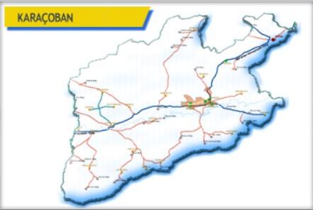
Karaçoban, Erzurum District
Surface Area | 525 km² | ||||||||
|---|---|---|---|---|---|---|---|---|---|
Elevation | 1.554 | ||||||||
Mayor | Kazim ERHAN | ||||||||
District Governor | Hacı Kerim MERAL | ||||||||
Karaçoban, Erzurum province is a district located in the southeast of the provincial center, within the high and rugged geography of the Eastern Anatolia Region. Due to its location along the historic Silk Road, Karaçoban has served as a home to various civilizations and possesses natural and cultural assets. Agriculture and animal husbandry are among the main sources of livelihood in the district, and in recent years it has also hosted initiatives aimed at developing tourism.
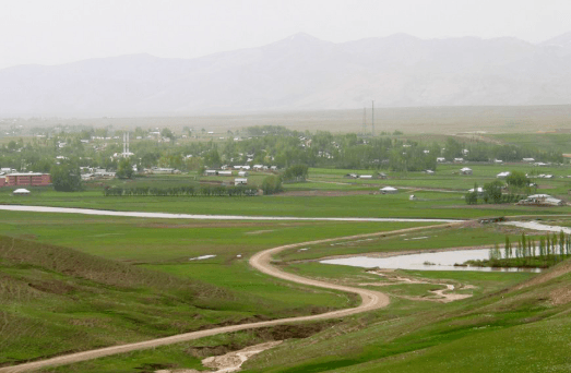
Karaçoban (source: Karaçoban Municipality)
The history of Karaçoban and its surroundings extends back to very ancient periods. Archaeological research in the region has revealed settlement traces dating to the Paleolithic Age. Karaçoban came under the rule of many civilizations including the Hittites, Urartians, Assyrians, Persians, Romans and Byzantines, and after the Battle of Manzikert it came under Turkish dominance. During the Seljuk and Ottoman periods, it continued to exist as one of the regional settlement centers. Its position along the historic Silk Road contributed to commercial activity. Under the Ottoman Empire, Karaçoban was administered as a kaza within Erzurum Vilayet, and after the foundation of the Republic of Türkiye it attained district status.
Karaçoban is located approximately 170 kilometers from the city center of Erzurum. The district borders Hınıs to the east, Tekman to the west, Çat to the north, and the Varto district of Muş to the south. Its area is approximately 1,400 square kilometers. The terrain of the district is generally mountainous and rugged, with elevations reaching over 2,000 meters in places. Major elevations include Göbekdağı, Akdağ and Otlukbeli Mountains. Between these mountains lie fertile plains and plateaus. Although there are no major rivers within the district boundaries, tributaries of the Murat River flow through the region.
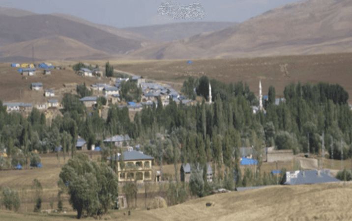
Karaçoban district (source: Erzurum Encyclopedia)
Karaçoban has a continental climate. Summers are hot and dry, while winters are cold and snowy. Spring and autumn seasons feature moderate temperatures, with significant differences between day and night temperatures. The annual average temperature is low. Snow cover can remain on the ground for a long duration during winter months. Precipitation is concentrated mainly in spring and autumn.
According to the Turkish Statistical Institute (TÜİK) 2024 Address-Based Population Registration System (ADNKS) data, the population of Karaçoban is 8,056, of whom 4,082 are male and 3,974 are female. The proportion of the population living in the district center is lower than in rural areas. In recent years, migration to large cities due to economic and social reasons has led to a decline in Karaçoban’s population. However, temporary population increases can occur during the summer months due to intensified agricultural and livestock activities.
Population density is very low when considering the area. The average number of people per square kilometer is approximately 5.75. Settlements are generally dispersed, with considerable distances between villages.
Karaçoban’s economy is largely based on agriculture and animal husbandry. Major agricultural activities include the cultivation of wheat, barley, sugar beet and forage crops. The extensive pastures and meadows have facilitated the development of small and large livestock farming. Sheep and cattle breeding are particularly common. Beekeeping has also begun to gain importance in recent years. Small-scale trade and crafts are also carried out in the district center. Efforts to develop tourism potential have increased.
Karaçoban has areas suitable for tourism development. Historic mosques, tombs and traditional stone houses in the district reflect its cultural heritage. Especially during spring and summer months, highland pastures are visited. Local handicrafts are also an important cultural element. Traditional crafts such as carpet weaving and kilim making are still preserved.
Karaçoban cuisine reflects the general characteristics of the Eastern Anatolia Region. Meat dishes, dough-based foods and local herbs hold a prominent place. Cağ kebab, su böreği, tandır-guveç and regional soups are commonly consumed dishes in the region. Additionally, natural honey and various local cheeses are widely consumed.
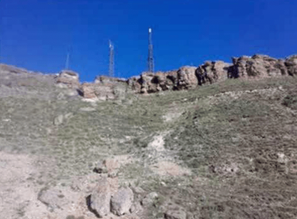
Zernak Castle (source: Karaçoban Municipality)
Erzurum Ansiklopedisi. "Karaçoban İlçesi." Accessed April 19, 2025.http://erzurumansiklopedi.com/karacoban-ilcesi/
Erzurum Valiliği. "Karaçoban." Accessed April 19, 2025.http://www.erzurum.gov.tr/karacoban.
Karaçoban Belediyesi. "Ana Sayfa." Accessed April 19, 2025.https://karacoban.bel.tr/
Karaçoban Belediyesi. "Doğal Güzellikler." Accessed April 19, 2025.https://karacoban.bel.tr/icerik/dogal-guzellikler.
Karaçoban Belediyesi. "Tarihçe." Accessed April 19, 2025.https://karacoban.bel.tr/icerik/tarihce
Karaçoban Kaymakamlığı. "İlçemiz." Accessed April 19, 2025.http://www.karacoban.gov.tr/ilcemiz.
Ministry of Culture and Tourism. "Karaçoban." Accessed April 19, 2025.https://erzurum.ktb.gov.tr/TR-172573/karacoban.html
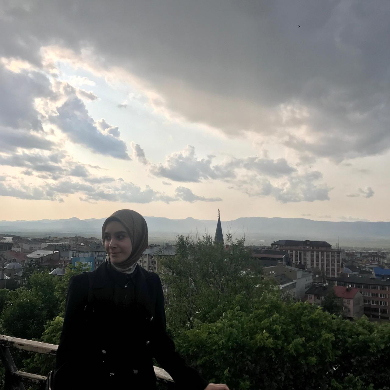
Karaçoban, Erzurum District
Surface Area | 525 km² | ||||||||
|---|---|---|---|---|---|---|---|---|---|
Elevation | 1.554 | ||||||||
Mayor | Kazim ERHAN | ||||||||
District Governor | Hacı Kerim MERAL | ||||||||
No Discussion Added Yet
Start discussion for "Karaçoban (District)" article
History
Geography
Climate
Population and Demographics
Economy
Tourism – Culture – Cuisine