


This article was automatically translated from the original Turkish version.
+1 More
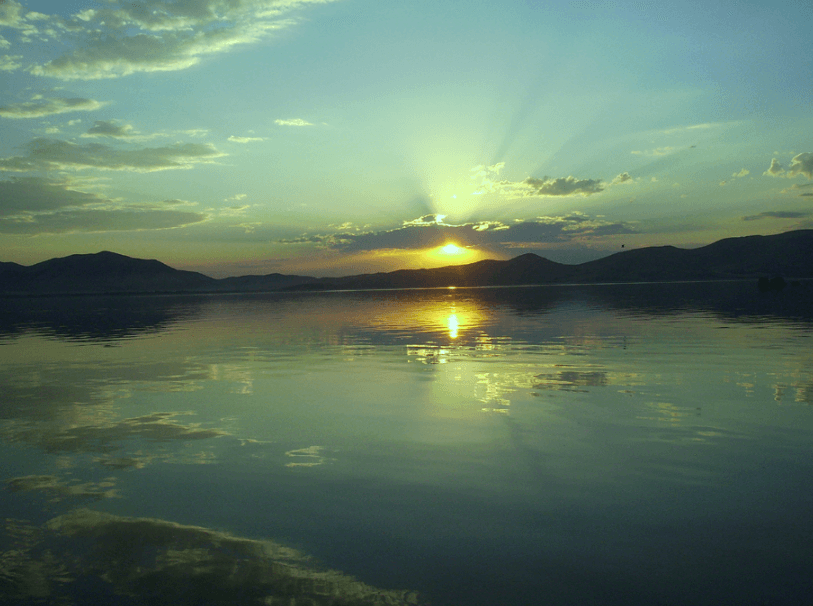
Hazar Lake
Location | Elazığ | ||||||||
|---|---|---|---|---|---|---|---|---|---|
Surface Area | 86 km² | ||||||||
Elevation | 1240 m – 1380 m | ||||||||
Hazar Gölü is a tectonic lake located within the boundaries of Elazığ province and is one of the most important tectonic lakes in Türkiye. Situated 26 kilometers southeast of Elazığ city center, this lake has formed along the Eastern Anatolia Fault Zone at an elevation of 1248 meters. It hosts a rich ecosystem and significant historical values in its surroundings. The surrounding mountains and feeding sources are key factors shaping the lake’s ecological characteristics.
Hazar Gölü measures 22 kilometers in length and 5 to 6 kilometers in width with a surface area of 86 square kilometers. It is bordered by Mastar Mountain to the north, Hazarbaba Mountain to the south and the settlement of Gezin to the east. Along with the natural features of the Sivrice district to the north, Hazar Gölü stands out as an important ecological area. The lake also contains an archaeological site known as Batık Kent.
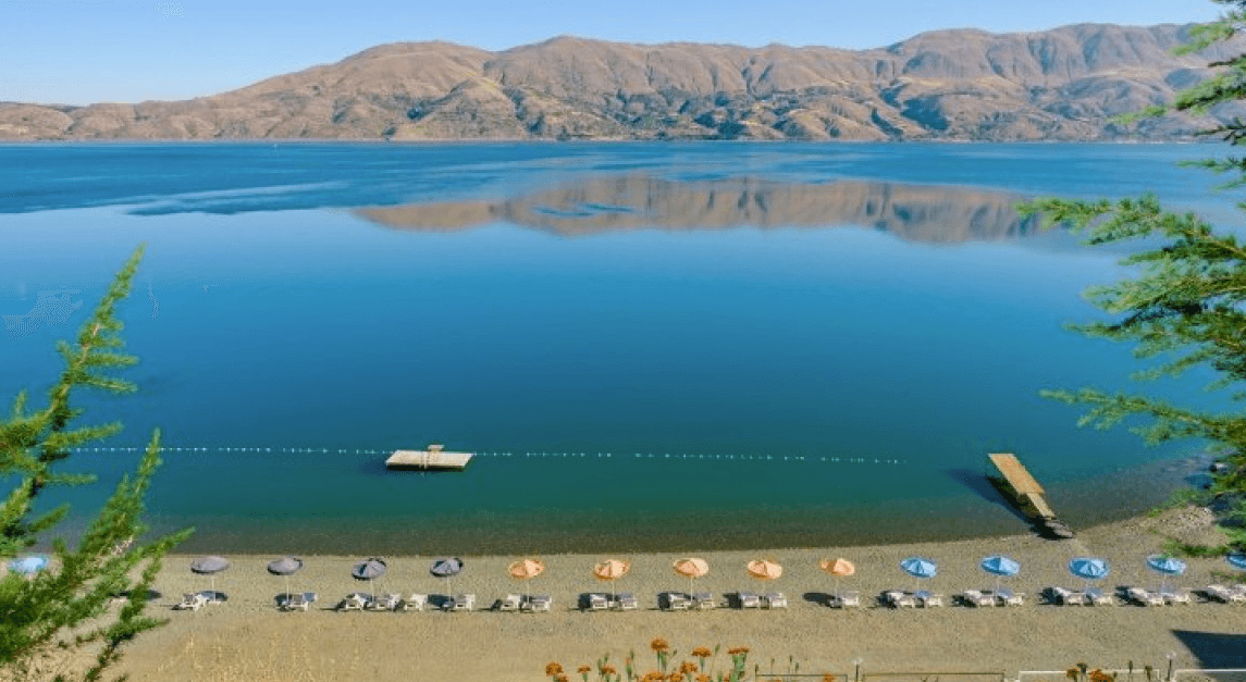
Elazığ Gölü (Source: Elazığ Municipality)
Hazar Gölü is home to numerous endemic plant and animal species. It is an important site for scientific study due to its physical, chemical and biological parameters. The lake’s water is freshwater, fed by natural streams in its vicinity. In addition, the wetlands and reed beds around the lake provide vital breeding and sheltering grounds for migratory birds. The lake water is generally clear and saline-free, exhibiting a structure that maintains ecological balance. However, due to increasing population and environmental pollution, negative changes in water quality have been observed over time.
The continental climate of Eastern Anatolia dominates the area around the lake. However, in recent years, changes in the local climate have been observed due to the presence of the Keban and Karakaya dams. The region features steep steppe areas and scattered coniferous forest plantations. Moreover, the deltas and reed beds surrounding the lake are important habitats that support the region’s biological diversity.
Over the years, Hazar Gölü has faced challenges from water pollution and ecosystem pressure. Domestic waste and chemical pollutants reach the lake primarily due to nearby settlements and agricultural activities. Wastewater from settlements such as Sivrice district and Gezin village has negatively impacted the lake’s water quality. Additionally, erosion has led to increased silt accumulation at the lakebed, threatening oxygen levels and biological diversity within the lake.
Various initiatives have been undertaken to protect Hazar Gölü and improve its water quality. Declared a Class B wetland by the Ministry of Environment in 1994, the lake now relies on water from the Hazar HES, which ceased operations in 2006, to maintain its ecological balance. Projects have been developed to establish wastewater treatment facilities and prevent leaks in the area. Furthermore, reforestation and soil conservation efforts to combat erosion are being accelerated.
Doğa Derneği. "Hazar Gölü." Accessed February 21, 2025.https://dogadernegi.org/18165-2/.
Elazığ Valiliği. "Hazar Gölü." Accessed February 21, 2025.http://www.elazig.gov.tr/hazar-golu.
Ministry of Culture and Tourism. "Hazar Gölü." Accessed February 21, 2025.https://www.kulturportali.gov.tr/turkiye/elazig/gezilecekyer/hazar-golu.
Ünlü, Ayhan, Fatih Çoban, and Müslün Sara Tunç. "Hazar Gölü Su Kalitesinin Zamanla Değişimi." Journal of Environmental Science and Engineering 6, no. 2 (2008): 93–101.

Hazar Lake
Location | Elazığ | ||||||||
|---|---|---|---|---|---|---|---|---|---|
Surface Area | 86 km² | ||||||||
Elevation | 1240 m – 1380 m | ||||||||
Ecosystem and Water Quality
Climate
Pollution and Threats
Conservation Efforts