


This article was automatically translated from the original Turkish version.
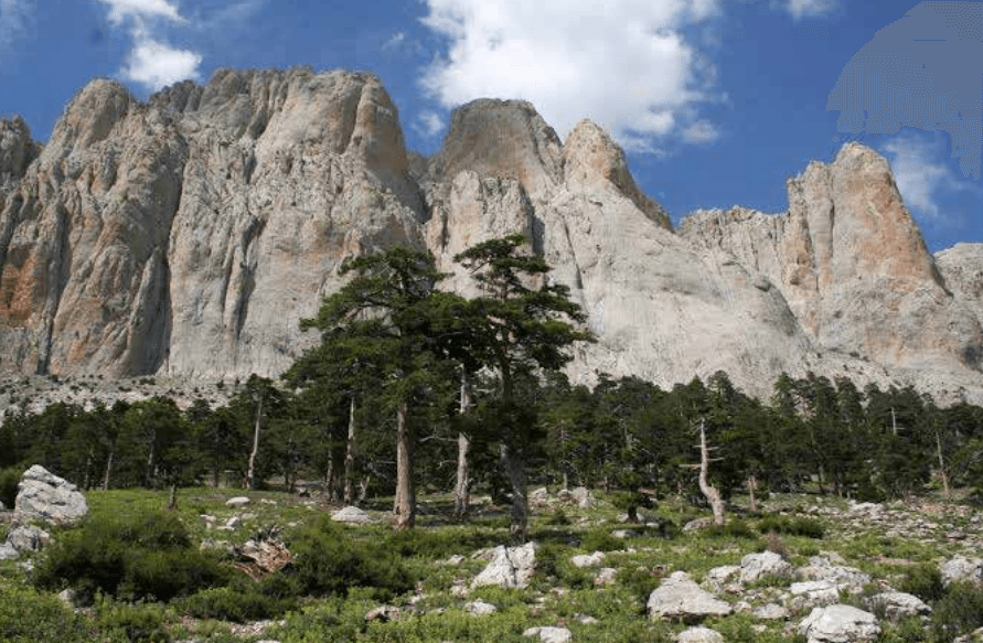
Dedegöl Mountain
Location | Isparta Province Yenişarbademli District | ||||||||
|---|---|---|---|---|---|---|---|---|---|
Elevation | 2998 metres | ||||||||
Geological Structure | It consists largely of Mesozoic-era massif limestones. | ||||||||
Mountain System | The highest peak of the Central Taurus Mountains | ||||||||
Threats | Deforestation (continuous logging) Overgrazing (plant cover and young trees are damaged) | ||||||||
Dedegöl Dağı is located within the boundaries of the Yenişarbademli district, to the east of Isparta province. At a height of 2998 metres, it is the highest peak in Isparta province and the entire Central Toros Mountains. The mountain extends from south to north and northwest and lies within the Taurus orogenic belt. Its summit is covered by snow for eleven months of the year.
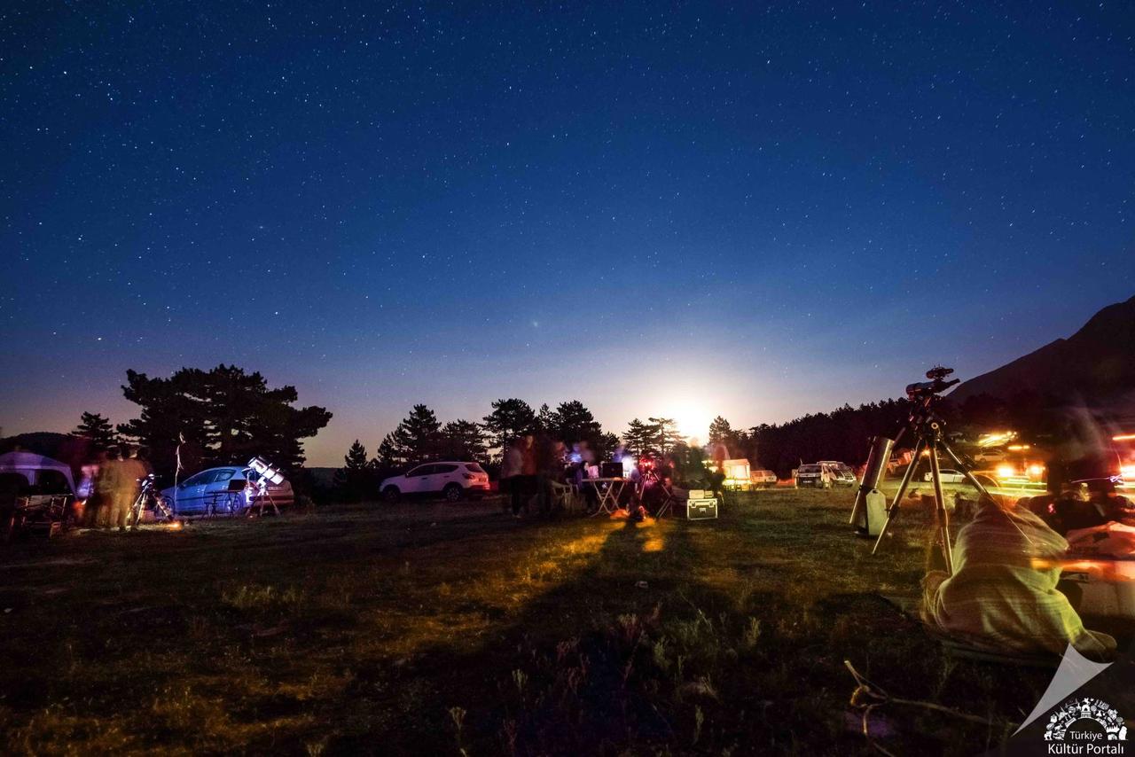
Dedegöl Dağı (Türkiye Kültür Portalı)
Dedegöl Dağı is situated in the eastern part of the Isparta Angle, one of Türkiye’s most tectonically active regions. The mountain’s current topographic structure has been shaped by various geological processes. Although no active glaciers exist today, evidence of several small cirque glaciers has been identified. The glacial accumulation area consists primarily of massive limestones belonging to the Dipoyraz Formation.
The lithostratigraphic structure includes rock units ranging from the Precambrian to the Quaternary. However, the majority of exposed rocks in the mountain massif are thick carbonate sequences deposited during the Mesozoic.
At the foot of Dedegöl Dağı lie Melikler Yaylası, Pınargözü Mağarası, and Zindan Mağarası. Pınargözü Mağarası, with a length of approximately 15 kilometres, is Türkiye’s longest cave. Karagöl, located near the mountain’s summit, is one of the region’s most notable natural features. Additionally, Kartos Suyu, situated south of the mountain, is the source of the Köprü Çayı river, which gives its name to the Köprülü Kanyon National Park in the Beşkonak township of Antalya.
Dedegöl Dağı forms a mountain range extending between Beyşehir and Eğirdir lakes and is largely composed of limestone. As a transitional zone between Central Anatolia and the Mediterranean, the region exhibits characteristics of both biomes. In lower elevations, maquis, steppe meadows, Turkish pine (Pinus brutia), riparian plant communities, and agricultural lands are observed. At higher elevations, mixed forests of Taurus fir (Abies cilicica ssp. isaurica), cedar (Cedrus libani), and black pine (Pinus nigra ssp. pallasiana) occur. Above the tree line, alpine meadows, stands of Juniperus excelsa and Juniperus foetidissima, and steep rocky vegetation are observed.
Thirty-seven plant taxa in the region meet the criteria for Important Natural Areas (INA). Endemic species include Sempervivum ispartae and Silene ispartensis. The Dedegöl Flower is an endemic plant found only on the slopes of Dedegöl Dağı.
Dedegöl Dağı and its surroundings provide habitat for numerous bird and mammal species. The golden eagle (Aquila chrysaetos) and bearded vulture (Gypaetus barbatus) are significant predatory birds in the region. The long-fingered bat (Myotis capaccinii) is a mammal species recorded in the area and is globally threatened. The lizard Lacerta danfordi is a reptile species endemic to the Mediterranean biogeographic region with a limited distribution. The freshwater fish Pseudophoxinus handlirschi is endemic to Türkiye and is globally threatened. Butterfly species include the Apollo (Parnassius apollo), Anatolian blue (Plebeius hyacinthus), and Sertavul blue (Polyommatus sertavulensis).
Agriculture, animal husbandry, and forestry are carried out in the areas surrounding Dedegöl Dağı. The main livelihood sources for the local population include fruit and vegetable cultivation. Apple and rose production are particularly important economic activities in the region. Both small and large livestock farming are practiced.
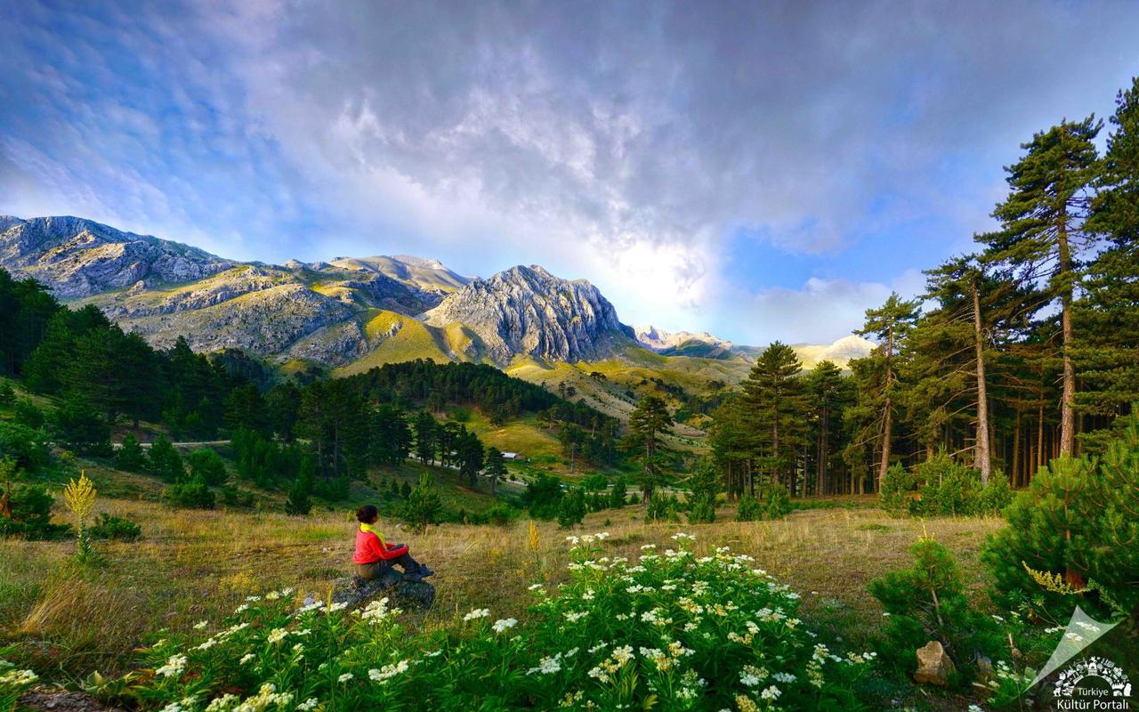
Dedegöl Dağı (Türkiye Kültür Portalı)
Dedegöl Dağı offers suitable trails for hiking, camping, and climbing. Climbing is typically preferred during the summer months, but winter climbing is also possible on the snow-covered slopes during winter. Every year in May, the Mountaineering Festival is held at Melikler Yaylası, where mountaineers from all over Türkiye set up camps and undertake summit ascents. The festival lasts three days, with summit climbing being a central component.
The mountain also has significant potential for rock climbing. It is listed in the international climbing guide “Parois de Legende” due to its continuous rock faces, which extend 500–600 metres in length.
There are currently no known conservation initiatives in the region. The forest cover is under continuous threat from logging and is gradually declining. Grazing pressure damages low-altitude plant communities and hinders the regeneration of new trees.
Bayrak, Zeynep Yelda. *Dünyadaki 19 Tırmanış Bölgesinden Birisi: Dedegöl Dağı*. Ankara: Jeoloji Mühendisleri Odası. Accessed May 20, 2025.https://www.jmo.org.tr/resimler/ekler/d665756ba093ee4_ek.pdf?dergi=JEODERG%DD
Doğa Derneği. *AKD034: Dedegöl Dağları Önemli Doğa Alanları Kitabı*. Ankara: Doğa Derneği Yayınları, 2018. Accessed May 20, 2025.https://dogadernegi.org/wp-content/uploads/2018/11/akd034-dedegol-daglari-onemli-doga-alanlari-kitabi.pdf
T.C. Ministry of Culture and Tourism. *Dedegöl Dağı*. Türkiye Kültür Portalı. Accessed May 20, 2025.https://www.kulturportali.gov.tr/turkiye/isparta/gezilecekyer/dedegol-dagi-1

Dedegöl Mountain
Location | Isparta Province Yenişarbademli District | ||||||||
|---|---|---|---|---|---|---|---|---|---|
Elevation | 2998 metres | ||||||||
Geological Structure | It consists largely of Mesozoic-era massif limestones. | ||||||||
Mountain System | The highest peak of the Central Taurus Mountains | ||||||||
Threats | Deforestation (continuous logging) Overgrazing (plant cover and young trees are damaged) | ||||||||
Geological and Geomorphological Features
Geological Formations
Biological Diversity
Plant Species
Animal Species
Land Use and Economic Activities
Mountaineering and Recreational Activities
Threats and Conservation Status