


Çamoluk (District)
Did you know that hidden in a vast valley nourished by the Kelkit River, in the interior of the Black Sea Region, lies a remarkable place? This is Çamoluk! As a district of Giresun, Çamoluk possesses unique characteristics due to its geographical location and climatic conditions. Its position along historical trade routes and its role as a meeting point of different civilizations have made it an important center from antiquity to the present day.
Where is Çamoluk and What Is Its Geographical Structure?
Çamoluk district is situated in a strategic corridor where Eastern Anatolia, Central Anatolia, and the Black Sea regions converge. The district lies at an elevation of 1050 meters above sea level and covers an area of approximately 600 square kilometers. To the north lie the Berdiya Mountains; to the east it borders Gümüşhane, to the southeast Erzincan, and to the south it shares a border with Sivas.
The most prominent landform in the region is the valley formed by the Kelkit River, which runs longitudinally from east to west through the district. In terms of climate, Çamoluk exhibits transitional characteristics between the humid air of the Black Sea and the continental climate of Central Anatolia. This results in a combination of both rainy and semi-arid climatic features within the region.
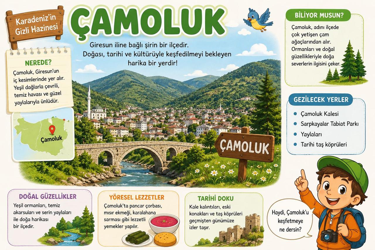
Çamoluk Hakkında Bilgi İçeren Görsel (Yapay Zeka İle Oluşturulmuştur)
The Historical Journey of Çamoluk from Antiquity to the Present
According to research, the settlement history of Çamoluk extends back to 1341 BCE, during the Hittite Kingdom period. Throughout history, the region came under the rule of numerous states that left a lasting mark on the region, including the Cimmerians, Medes, Persians, and Romans. From the late 8th century onward, Oghuz Turkic tribes arrived in the area in tribal formations and laid the foundations of today’s settlements.
Turkish dominance in the region strengthened after the Seljuk armies reached it in 1054, and following the Battle of Manzikert in 1071, the region was fully incorporated into Turkish territories. Later, Çamoluk became part of the boundaries of the Akkoyunlu State and was annexed to the Ottoman Empire in 1514 after Sultan Yavuz Selim’s campaign at the Battle of Chaldiran.
Castles and Battles: The Defense Structures of Çamoluk
Defense structures hold a significant place in the district’s history. The historic castle located in the village of Kaledere, believed to have been constructed during the Seljuk or Byzantine periods, is one of the region’s most striking architectural features. This castle has two entrances carved into the mountainside and features a unique structure extending approximately 120 meters deep from the summit downward into the earth.
The region has also witnessed major field battles. According to some research, the Battle of Otlukbeli, fought on 14 August 1473 between the Ottoman Empire and the Akkoyunlu State, took place in the areas of the villages of Kaledere and Karadikmen within Çamoluk’s boundaries. The martyrdom site in this region is regarded as a key piece of evidence supporting this historical claim.
From Village to District: The Establishment of Modern Çamoluk
From the Ottoman period through the early years of the Republic, Çamoluk was administered as a nahiye. After the abolition of Şebinkarahisar’s provincial status in 1933, it became a township subordinate to Alucra district. The establishment of a municipal organization in 1987 marked a significant step in the development of the region’s administrative structure.
Çamoluk’s current administrative status was established by Law No. 3644, which came into effect on 20 May 1990. Under this law, Çamoluk was separated from Alucra and became an independent district under Giresun Province. The first district governor assumed office on 26 August 1991. Today, the district continues its settlement activities with its central neighborhood and 27 villages.