

Mut (District)
Have you ever imagined a place surrounded by towering mountains, through which rivers roar continuously, and where you can journey through history by walking among thousands-of-years-old stone buildings?
A Historical Stop at the Foot of the Mut Toros Mountains
Mut, a district of Mersin Province, is one of Anatolia’s oldest settlement sites and carries traces of the past in every corner.
A Geography Between Mountains and Rivers
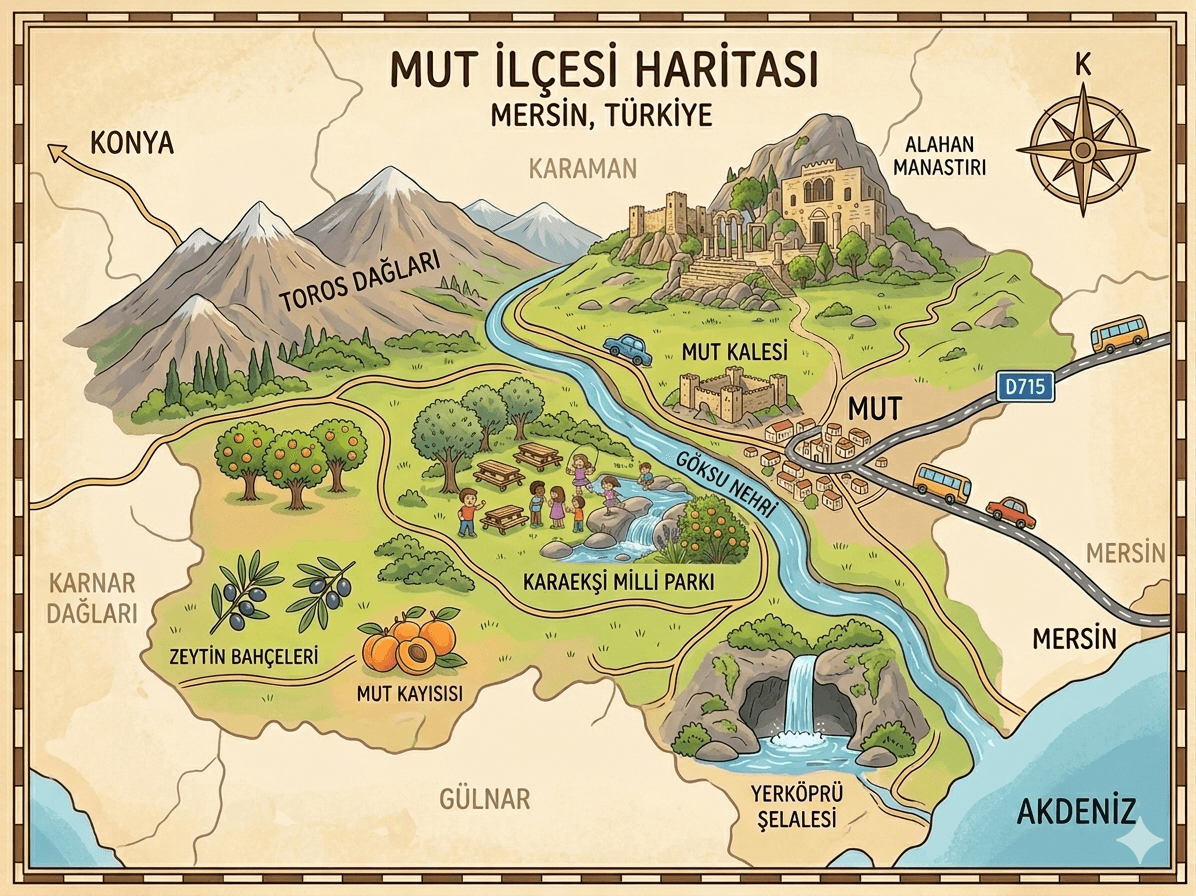
Mut district is situated at the foot of the Taurus Mountains along the banks of the Göksu River. It is bordered by Silifke and Erdemli to the east, Karaman to the north, Ermenek to the west, and Gülnar to the south. Its elevation is approximately 250 to 300 meters above sea level.

Göksu River (generated by artificial intelligence)
The region exhibits characteristics of both Mediterranean and continental climates. This results in hot dry summers and mild wet winters. The district’s land area is extensive, accounting for 16 percent of Mersin Province’s total surface area.
Historical Names and Founding Story
Mut’s historical origins extend back to the Hittite period. During that era, the city is said to have been known as Yenika or Yenikand, meaning “New City.” Under Roman rule, it was named Claudiopolis.
There are differing accounts regarding how the district acquired its current name “Mut.” One view holds that the name derives from Muts or Mutyos, one of Alexander the Great’s commanders. Another view suggests that “Mut” comes from the Luwian language, where it means “valley.”【1】
Silent Witnesses of Stone: Castles and Monasteries
One of the district’s most important historical structures, Alahan Monastery, is built on a steep cliff facing the Göksu Valley. Estimated to have been constructed between 440 and 442 AD, this monastery is notable for its stone carving art. Its walls feature reliefs of the archangels Gabriel and Michael, as well as lions, eagles, and grape clusters.
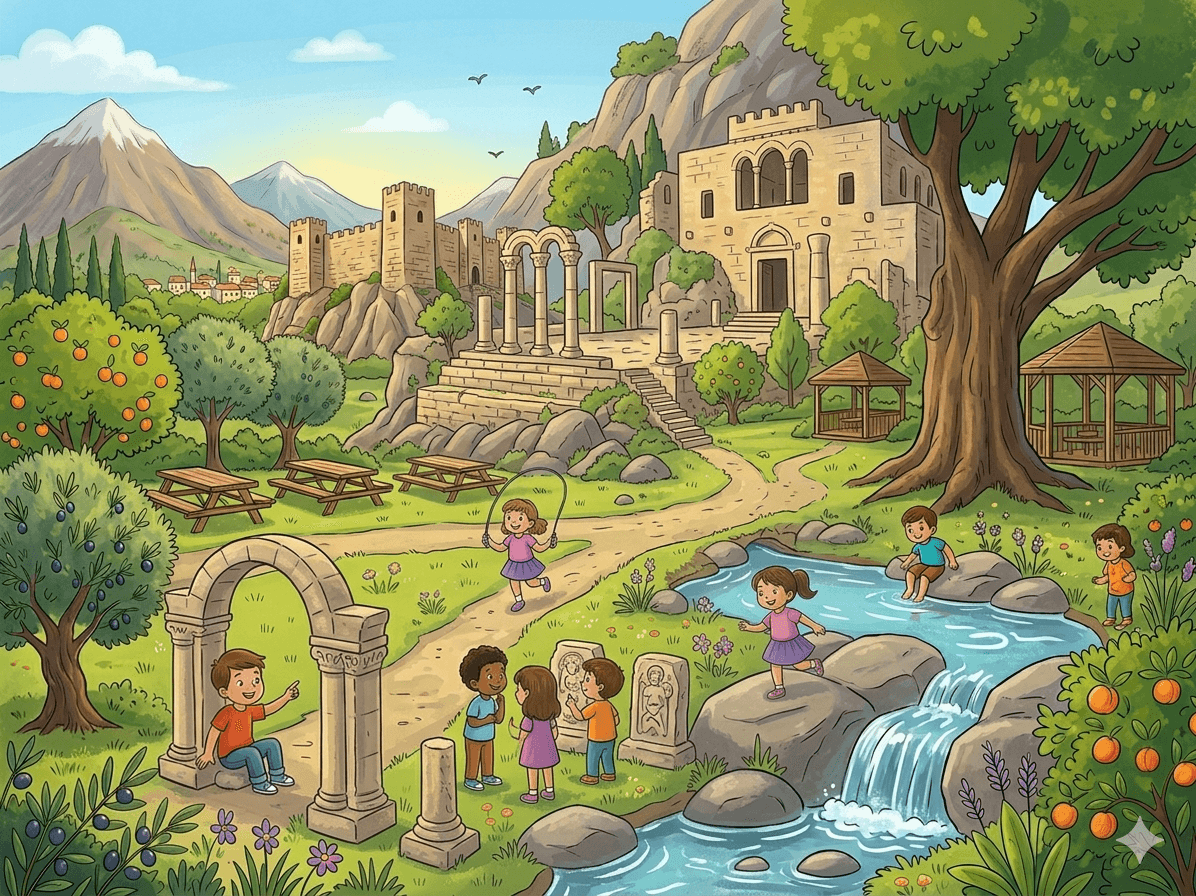
Alahan Monastery (generated by artificial intelligence)
In the center of the town stands Mut Castle, a rectangular structure with four towers. Additionally, Mavga Castle, located 16 kilometers from the district center, is built atop sheer cliffs rising 150 meters high. Built by order of the Seljuk Sultan Alaaddin Keykubat, the castle contains chambers and cisterns carved directly into the rock.
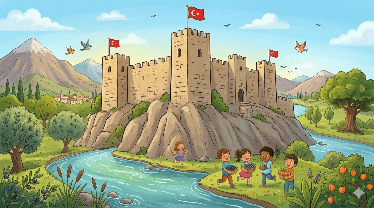
Mut Castle (generated by artificial intelligence)
Its Nature and Soil
Mut is also known for its natural and agricultural richness. Yerköprü Waterfall is a natural tunnel 250 meters long, formed by the erosion of the Ermenek Stream, offering a striking visual spectacle. Additionally, Karaekşi National Park, a forested recreational area, is also known for its trout farming operations.

Karaekşi National Park (generated with artificial intelligence)
Agriculture forms the backbone of the district’s economy. In particular, apricot production is of great importance, and annual apricot festivals are held. Moreover, the presence of the tomb and monument of the renowned folk poet Karacaoğlan strengthens the district’s cultural heritage.
A Journey Through Time
- Prehistoric Periods: First settlements established during the Hittite period under the name Yenika.
- 440–442 AD: Completion of the Alahan Monastery Complex.
- 1221–1228: The region came under Turkish rule during the reign of Seljuk Sultan Alaaddin Keykubat.
- 1466: The region was incorporated into Ottoman territory by İshak Pasha, vizier of Fatih Sultan Mehmet.
- 8 June 1973: Unveiling of the Karacaoğlan Monument, Türkiye’s first public monument dedicated to a folk poet, in Mut.
Citations
[1]
"Mut," T.C. Mersin Valiliği, Accessed June 13, 2026.