

`pazar` ile İlgili Madde Sonuçları
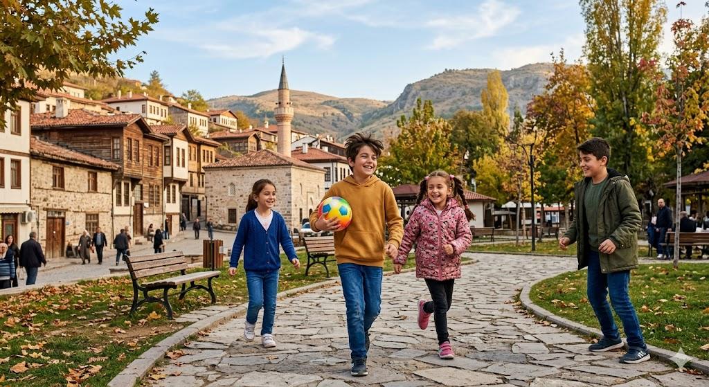
Tokat/Pazar (District)
Located 25 kilometers from the city center of Tokat, Pazar is a green and historic district. Built on the fertile lands of Kazova irrigated by the Yeşilırmak River, this settlement lies at an elevation of 623 meters above sea level. The district attracts attention both for its natural beauty and its thousands of years of history. Following the Traces of History Pazar was situated along the King’s Road and the Silk Road, routes used by kings and merchants in ancient times. For this reason, numero
EN
Ömer Keleş
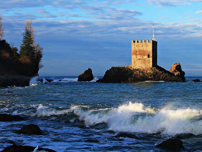
Kız Kalesi (Rize)
Rize ilinin Pazar ilçe merkezinin batısında, kıyıya yakın kayalık bir zemin üzerinde konumlanmış küçük bir yarımada üzerinde yer almaktadır. Kalenin günümüzde kara ile bağlantısı kesilmiş durumdadır. Kız Kalesi Drone Çekimi (Youtube: Konyalı Seyyah) Tarihçe Kız Kalesi'nin kesin inşa tarihi bilinmemektedir. Ancak, 13. veya 14. yüzyıllarda kullanıldığı tahmin edilmektedir. Cenevizliler döneminde yapıldığına dair rivayetler bulunmaktadır. Kalenin Osmanlı Dönemi'nde de kullanıldığı bilinmektedir. Ri
TR
Ömer Faruk Mamat
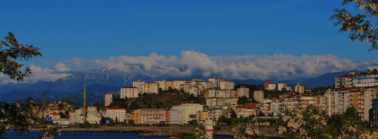
Pazar (İlçe)
Pazar, Türkiye’nin kuzeydoğusunda yer alan Rize ilinin doğusunda, Karadeniz kıyısında konumlanmış bir ilçedir. Yüzölçümü 173 km² olan ilçe, doğuda Ardeşen, batıda Çayeli, güneyde Hemşin ve Çamlıhemşin ilçeleri ile çevrilidir. Karadeniz’e açılan kuzey sınırı boyunca yaklaşık 15 kilometrelik sahil şeridine sahiptir. İl merkezine uzaklığı yaklaşık 38 kilometredir. İlçenin nüfus yoğunluğu, coğrafi sınırlılığı ve doğal alanlarının kullanımıyla Rize’nin ortalamasına paralel seyretmektedir. Coğrafi kon
TR
Emre Zengin
 Pi
PiPiyasa
Köken İtalyanca piazza “meydan, çarşı, pazar yeri” sözcüğünden günümüz Türkçesine geçmiştir. Kullanım Alanları Ekonomi: Ticarî işlemlerin yapıldığı alan olarak kullanılır. Günlük Konuşma: Alışveriş ve ticaret yapılan yerler için kullanılır. İş Dünyası: Farklı sektörlerdeki faaliyetleri tanımlamak için ifade edilir.
TR
Esra Can
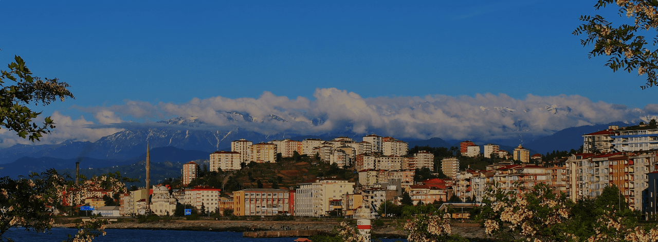
Sunday (District)
Market, located on the Black Sea coast east of Rize province in northeastern Türkiye, is a district with an area of 173 km². It is bordered by Ardeşen to the east, Çayeli to the west, and Hemşin and Çamlıhemşin to the south. Along its northern boundary facing the Black Sea, it has a coastline of approximately 15 kilometres. It is situated about 38 kilometres from the provincial centre. The district’s population density follows the average pattern of Rize, shaped by its geographical constraints a
EN
Emre Zengin
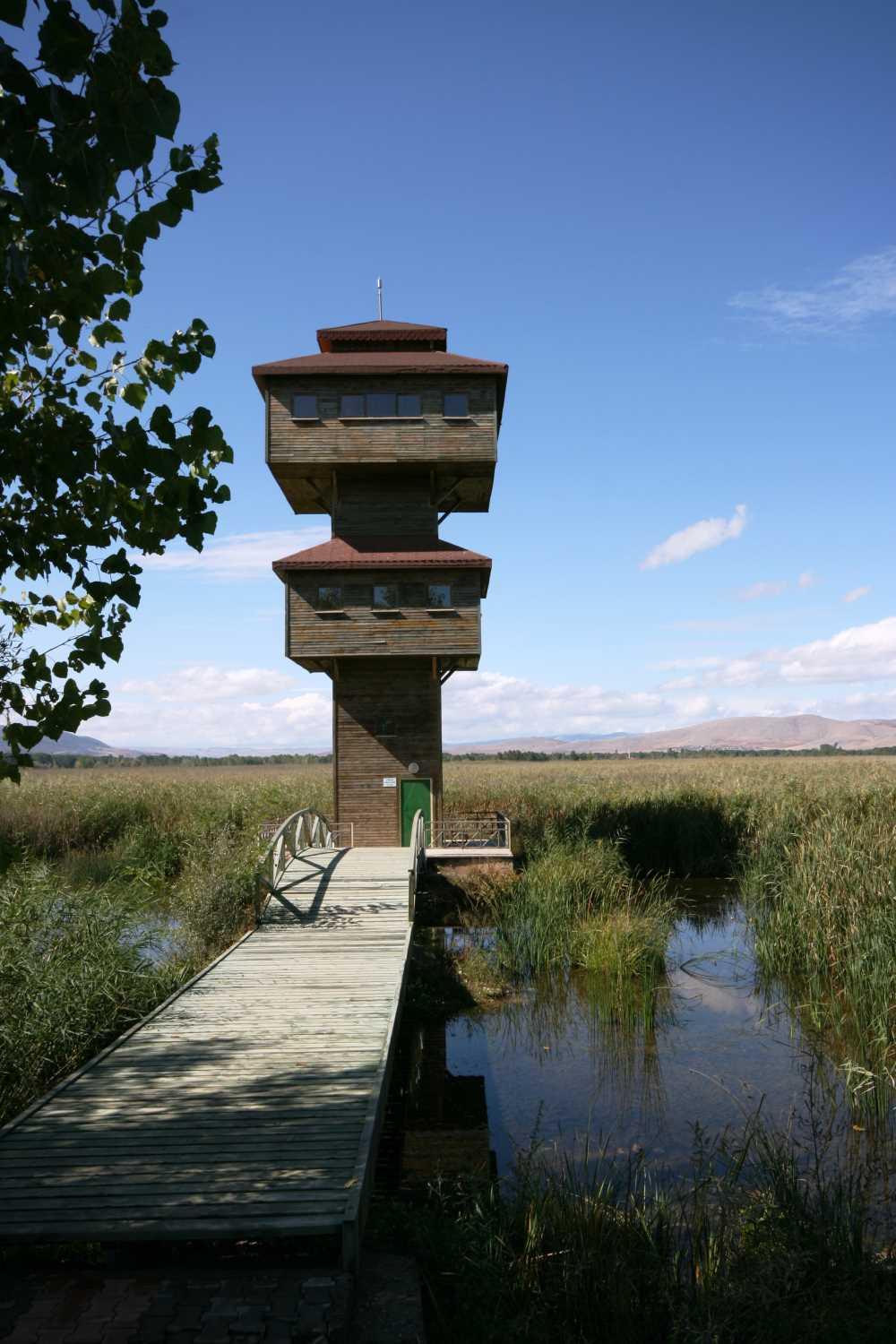
Kaz Lake (Tokat)
Kaz Gölü is a wetland area located between the districts of Turhal and Market in the province of Tokat, covering an area of place. Situated approximately 25 kilometres from the provincial centre of Tokat, this lake has an elevation of 620 metres and a surface area of about 1000 hectares, making it one of the largest wetlands in the region. Due to the continental climate prevailing in the area, the lake’s surroundings have become a prominent gravity centre for nature enthusiasts throughout the ye
EN
Süleyman Gülsün
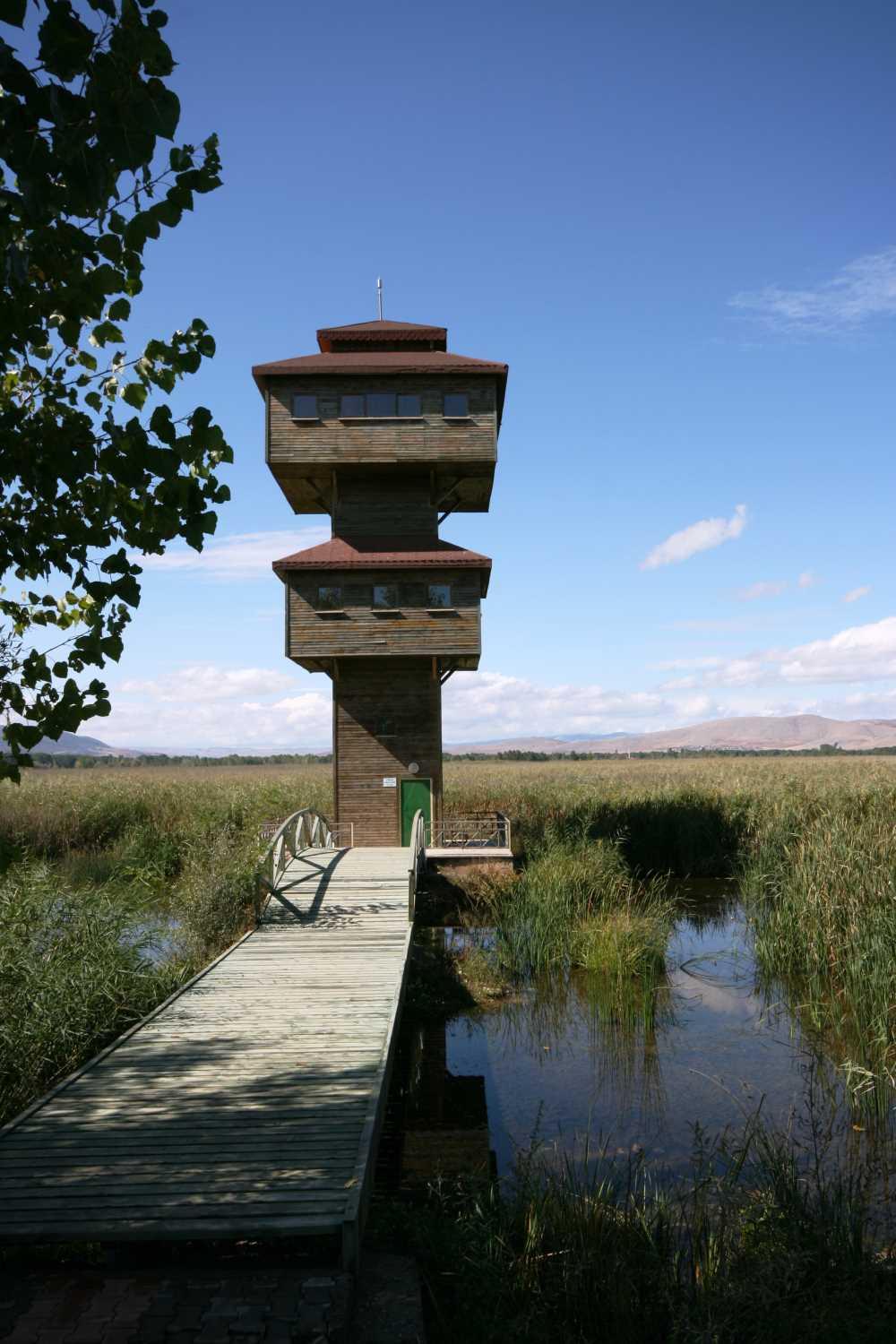
Kaz Lake (Tokat)
Kaz Gölü, Tokat province’s Turhal and Pazar districts, located at a site yer. This wetland is approximately 25 kilometers from the city center of Tokat and, with an elevation of 620 meters and a surface area of about 1,000 hectares, is one of the largest wetlands in the region. In an area dominated by a continental climate, the lake’s surroundings have become a major attraction for nature enthusiasts throughout the year. Kaz Gölü (Tokat Governorship) " image-alternate="" image-element-format="ri
EN
Süleyman Gülsün
Kız Kalesi (Rize)
Located on a small peninsula situated on a rocky terrain near the coast, west of the Pazar district center in Rize province. The castle is currently disconnected from the mainland. Drone Footage of Kız Kalesi (YouTube: Konyalı Seyyah) History The exact construction date of Kız Kalesi is unknown. However, it is believed to have been in use during the 13th or 14th centuries. There are traditions suggesting it was built during the Genoese period. It is also known that the castle was used during the
ENÖmer Faruk Mamat
Pazar (İlçe - Tokat)
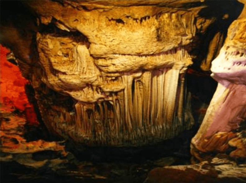
Pazar, Tokat il merkezinin batısında, Kazova ovasında yer alan bir ilçedir. İlçede tarım ve hayvancılık faaliyetleri öne çıkmaktadır. Tarihi yapılar ve doğal alanlar, ilçenin kültürel ve coğrafi yapısını yansıtmaktadır. Tarih Pazar ilçesi, ilk çağlardan itibaren Anadolu’nun önemli ulaşım hatlarından birine (eski Kral Yolu ve İpek Yolu) yakın konumda yer almıştır. Antik dönemde “Kazova” adıyla anılan bu bölge, Greko-Romen kaynaklarında Dazimonitis olarak geçerken, ilçenin merkezi ise Cellarion ad
TREmre Zengin
Pazar (District - Tokat)
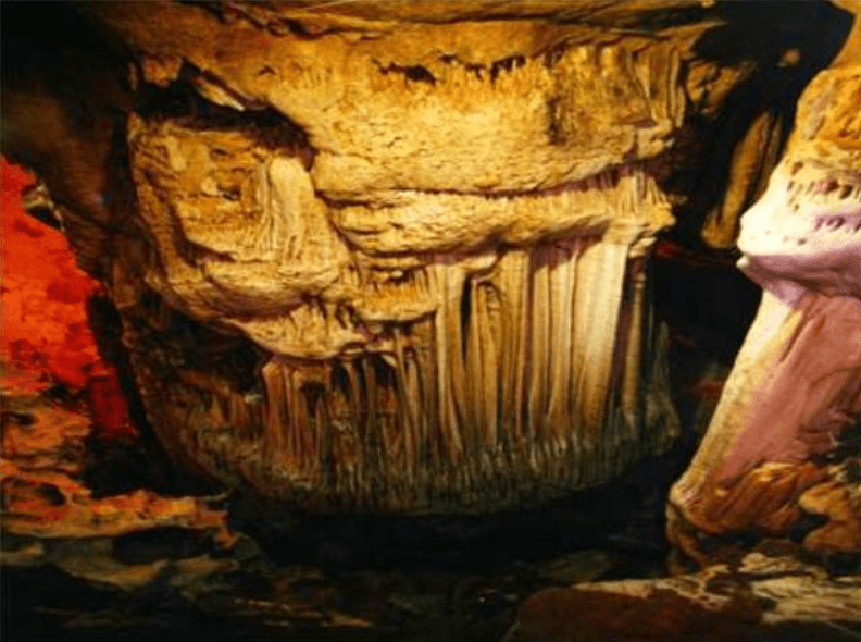
Pazar is a district located west of Tokat province, on the Kazova Plain. Agriculture and livestock farming are prominent activities in the district. Historical structures and natural areas reflect the district's cultural and geographical makeup. History The district of Pazar has been located near one of Anatolia's major transportation routes (the ancient Royal Road and the Silk Road) since ancient times. Known as "Kazova" in ancient times, this region is referred to as Dazimonitis in Greco-Roman
ENEmre Zengin