

`marmara` ile İlgili Madde Sonuçları
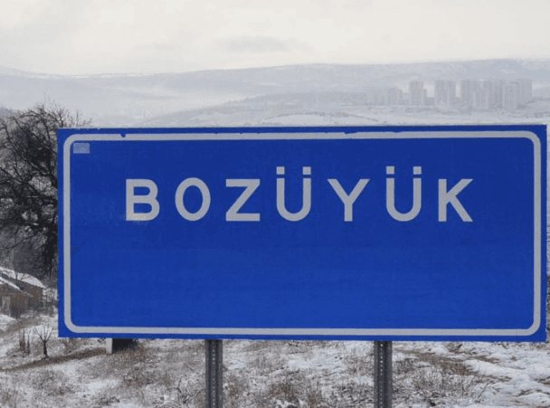
Bozüyük (District)
Bozüyük, historical as a site bearing traces of many civilizations, is one of the junction points of Anatolia at important. Settlement in the region has been shaped under the influence of different cultures since antiquity. Bozüyük (Source: Bozüyük Municipality) " image-alternate="" image-element-format="center"> Antiquity and the Ancient Period The history of Bozüyük extends back to the 12th century BCE. It was initially dominated by the Hittites. Following the Hittites, the Phrygians from t
EN
Sümeyra Uzun
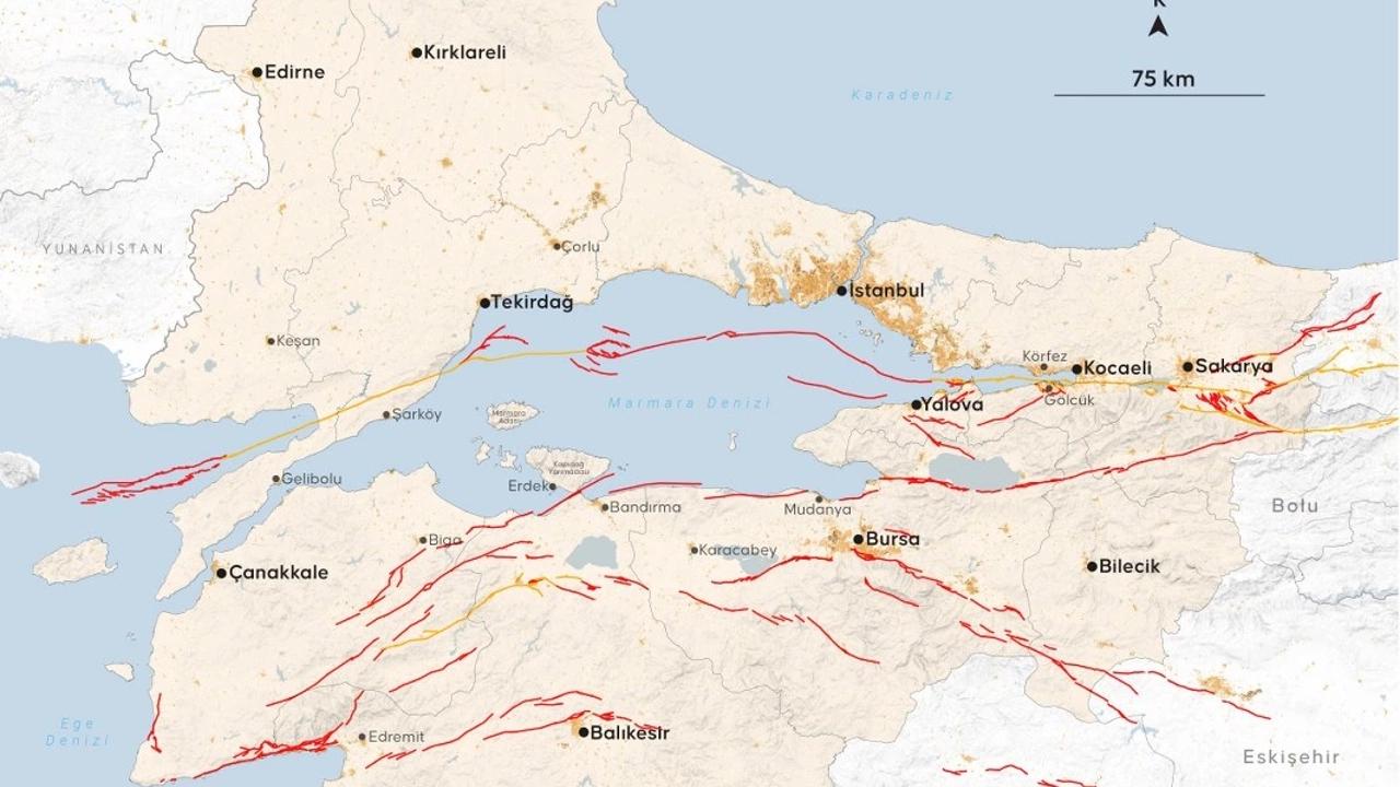
Sea of Marmara
Marmara Sea is an inland sea located in the northwestern part of Türkiye place. It serves as a strategic passage connecting the Black Sea and the Aegean Sea, opening into the Black Sea via the Bosporus Strait and into the Aegean Sea via the Dardanelles Strait. It derives its name from Marmara Island, which is linked to the marble deposits in the region famous. Geographical Features The Marmara Sea has a surface area of approximately 11,350 km². Its maximum depth is about 1,261 meters, measured a
EN
Ahmet Taha Doğan
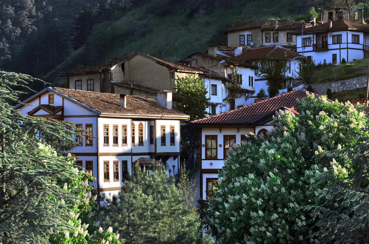
Taraklı (District)
Located in the southern part of Sakarya Province, Taraklı is a settlement notable for its distinctive geographical features and historical heritage. The district is particularly known for its wooden houses, impressive examples of Ottoman-era civil architecture that have survived to the present day. Its natural beauty and rich cultural heritage have made Taraklı an important destination for both history enthusiasts and nature lovers. Having borne traces of various civilizations over centuries, Ta
EN
Veysel Safa Kürkçü

Marmara University (MÜ)
Marmara University (MÜ) is a public higher education institution based in Istanbul, with its foundation laid on 16 January 1883. The university’s academic and administrative units are distributed across multiple campuses located on both the Anatolian and European sides of Istanbul. History The establishment of Marmara University traces back to 16 January 1883, when the Hamidiye Higher School of Commerce began operations in the İzzet Efendi Mansion in Kanlıfırın. In 1890, the institution was relo
EN
Nida Üstün
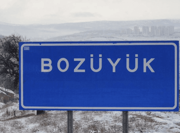
Bozüyük (District)
Bozüyük is one of the key crossroads of Anatolia, bearing traces of many civilizations throughout its historical past. Settlement in the region has been shaped under the influence of various cultures since antiquity. Bozüyük (Source: Bozüyük Municipality) " image-element-format="right" image-source="https://cdn.t3pedia.org/media/uploads/2025/04/04/Vdc6WjEOpxEh1gxTwpHjLIgSoNxtmLft.png"> Antiquity and the Classical Period The history of Bozüyük extends back to the 12th century BCE. It was initi
EN
Sümeyra Uzun
Erdek Körfezi
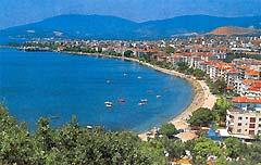
Erdek Körfezi, Marmara Denizi'nin güneybatısında, kuzey ve kuzeydoğuda Kapıdağ Yarımadası, kuzeyde Avşa, Koyun ve Paşalimanı adaları, güneyde ise Gönen ve Bandırma kıyıları ile sınırlandırılmış, yaklaşık 49 kilometre uzunluğa, 21 kilometre genişliğe ve maksimum 55 metre derinliğe sahip olan, morfogenetik açıdan tombolo, lagün, delta ve falez gibi çeşitli kıyı şekillerini bünyesinde barındıran yarı kapalı bir deniz havzasıdır. Konum ve Genel Coğrafi Özellikler Erdek Körfezi, Marmara Denizi’nin gü
TR
Yağmur Binici
Marmara Denizi
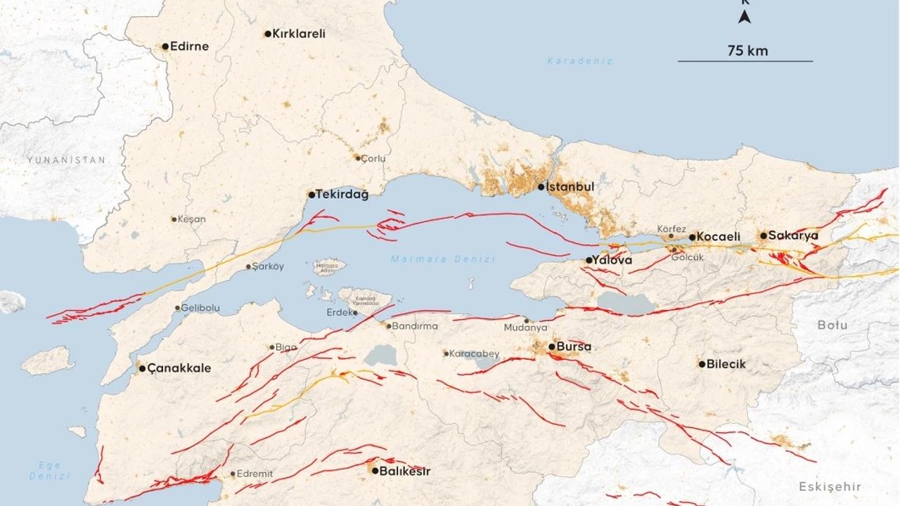
Marmara Denizi, Türkiye'nin kuzeybatısında yer alan bir iç denizdir. Karadeniz ile Ege Denizi'ni birbirine bağlayan stratejik bir su yoludur ve İstanbul Boğazı aracılığıyla Karadeniz'e, Çanakkale Boğazı aracılığıyla da Ege Denizi'ne açılır. Adını, bölgedeki mermer yataklarıyla ünlü Marmara Adası'ndan almıştır. Coğrafi Özellikler Marmara Denizi, yaklaşık 11.350 km²'lik bir yüzölçümüne sahiptir. En derin noktası yaklaşık 1.261 metredir ve bu derinlik Çınarcık Çukuru'nda ölçülmüştür. Deniz, kuzeyde
TR
Ahmet Taha Doğan
Erdek Bay
Erdek Bay is a semi-enclosed marine basin located in the southwest of the Marmara Sea. It is bounded by the Kapıdağ Peninsula to the north and northeast, the islands of Avşa, Koyun, and Paşalimanı to the north, and the coasts of Gönen and Bandırma to the south. The bay measures approximately 49 kilometers in length, 21 kilometers in width, and reaches a maximum depth of 55 meters. Morphogenetically, it contains a variety of coastal forms including tombolo, lagoon, delta, and cliff structures. Lo
ENYağmur Binici
Taraklı (District)
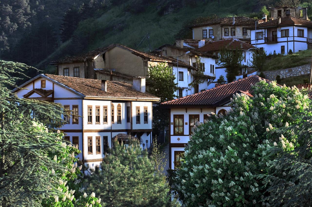
Sakarya Province’s southern location, Taraklı is a settlement notable for its distinctive geographical features and history. The district is particularly known for its well-preserved wooden houses from the Ottoman period, which represent impressive examples of civil architecture. Its natural beauty and rich cultural heritage have made Taraklı an important destination for both history enthusiasts and nature lovers. For centuries bearing traces of various civilizations, Taraklı has retained a uniq
ENVeysel Safa Kürkçü
Gebze (District)
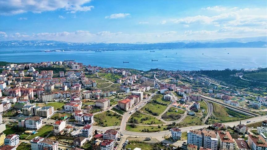
Gebze is a district of Kocaeli Province in Türkiye. Strategically located in the Marmara Region near Istanbul, it serves as a vital center for industry, trade, and logistics. Gebze attracts attention through its history, geographical structure, economic activities, and cultural fabric, and is among Türkiye’s fastest-developing regions. Geography Gebze is situated on the northeastern coast of the Sea of Marmara, in the western part of Kocaeli Province. To its east lies İzmit, to its west the Ista
ENAhmet Taha Doğan