

`gediz-graben` ile İlgili Madde Sonuçları
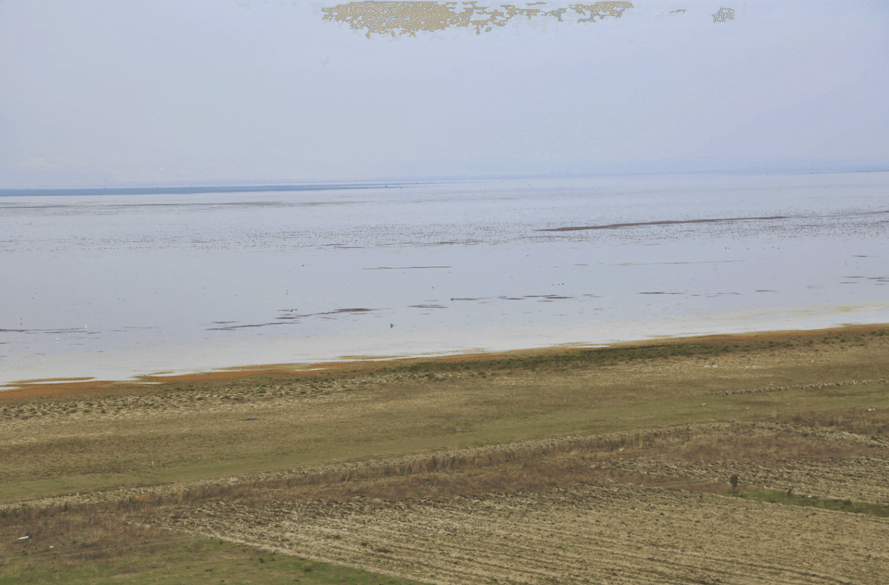
Marmara Lake
Marmara Lake is a freshwater lake located within the boundaries of Manisa Province in Türkiye’s Aegean Region, situated between the districts of Gölmarmara, Salihli, and Ahmetli. With an elevation of 74–80 meters and a surface area of 6,912 hectares, the lake has been transformed into a reservoir by a 5.75-kilometer-long natural dam on its eastern and southeastern sides. To the east of the lake lies Keçidağ, to the south the Salihli Plain, to the west Çal Dağı (1,034 m), and to the north the Göl
EN
Sümeyra Uzun
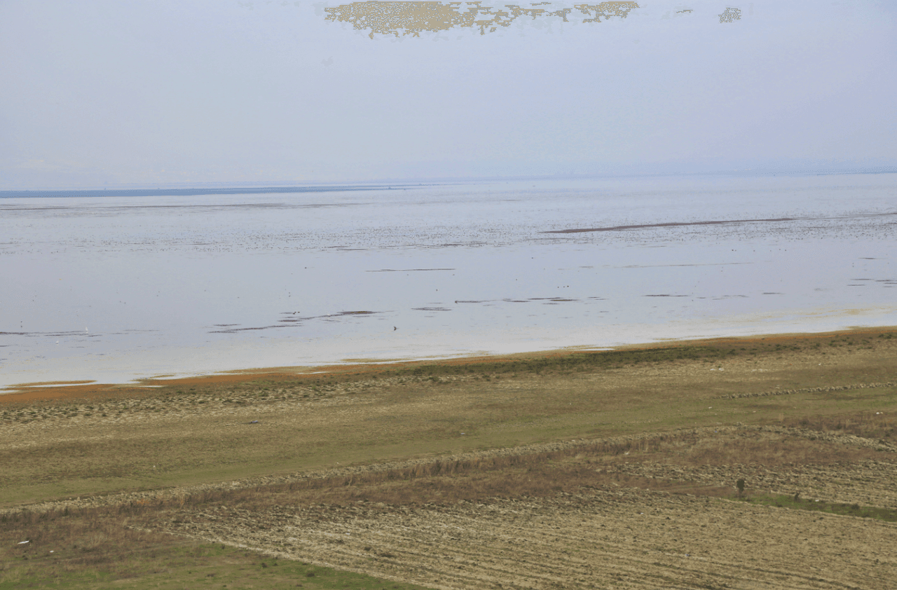
Marmara Lake
Marmara Gölü is a freshwater lake located within the boundaries of Manisa Province in Türkiye’s Aegean Region, situated between the districts of Gölmarmara, Salihli, and Ahmetli. The lake lies at an elevation of 74–80 metres and covers an area of 6,912 hectares. It has been transformed into a reservoir by a 5.75-kilometre-long dam on its eastern and southeastern sides. To the east of the lake lies Keçidağ, to the south the Salihli Plain, to the west Çal Dağı (1034 m), and to the north the Gölmar
EN
Sümeyra Uzun
Marmara Gölü
Marmara Gölü, Türkiye’nin Ege Bölgesi’nde, Manisa il sınırları içerisinde yer alan ve Gölmarmara, Salihli ve Ahmetli ilçeleri arasında konumlanan bir tatlı su gölüdür. 74–80 metre rakımlı ve 6912 hektar yüzölçümüne sahip olan göl, doğu ve güneydoğusunda yer alan 5,75 km uzunluğundaki setle rezervuar haline getirilmiştir. Gölün doğusunda Keçidağ, güneyinde Salihli Ovası, batısında Çal Dağı (1034 m), kuzeyinde ise Gölmarmara Ovası yer alır. Jeolojik ve Morfolojik Yapı Marmara Gölü, Batı Anadolu'nu
TRSümeyra Uzun