

`gnss` Related Article Results
 Op
OpOpportunity Signals (Signal of Opportunity - SoOP)
Opportunity Signals (Signal of Opportunity - SoOP) is a technique based on the principle of detecting existing electromagnetic signals in the environment (radio, television, satellite, Wi-Fi, hand phone signals, etc.) to determine, track, and perform environmental analysis for various purposes. This approach enables inference without requiring dedicated or specialized transmitters. SoOP, used as an alternative or complementary method to traditional global positioning systems (GPS, GNSS, etc.) or
EN
Kübra Cin
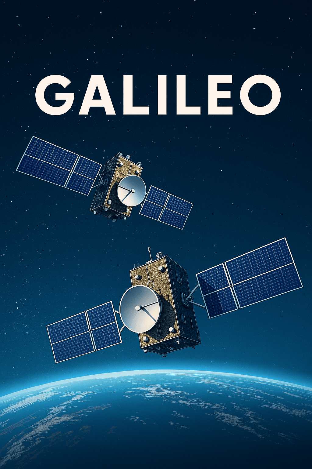
Galileo Positioning System
Galileo is a global navigation satellite system (GNSS) developed by the European Union and operated entirely under civilian control. In operation since 2016, it offers a high-accuracy and independent solution specifically tailored to Europe’s positioning and timing needs. Unlike the U.S.'s GPS and Russia’s GLONASS, Galileo is designed with civilian users in mind, marking a key point of differentiation. Today, over 3.5 billion devices worldwide benefit from Galileo signals. Thanks to its dual-fre
EN
Hüsnü Umut Okur
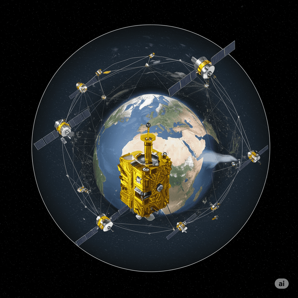
Global Navigation Satellite System (GNSS)
The Global Navigation Satellite System (GNSS) is a general term for space-based positioning systems capable of providing position, velocity, and time information to users anywhere on the Earth's surface. GNSS consists of a constellation of satellites, a global ground control segment, and user receivers that together enable continuous, real-time, three-dimensional positioning capabilities. Components A GNSS system comprises three major components: Space segment: Consists of satellites orbiting th
EN
Salih Bozkurt

Geodesy
Geodesy is the scientific discipline concerned with the study of the Earth's geometric shape, dimensions, gravity field, and their temporal variations. In its classical form, geodesy was defined by F.R. Helmert in 1880 as the "science of the measurement and mapping of the Earth’s surface." This definition, which also includes the Earth's external gravity field and the ocean floor, has retained its relevance. In modern terms, it has been extended to include the temporal variations of the Earth an
ENSalih Bozkurt
OpOpportunity Signals (Signal of Opportunity - SoOP)
Fırsat Signals (Signal of Opportunity – SoOP) is a technique based on the principle of detecting existing electromagnetic signals in the environment (radio, television, satellite, Wi-Fi, mobile phone signals, etc.) to enable positioning, tracking, and environmental analysis for various purposes. This method enables information extraction by evaluating existing signals without requiring classical sensors or dedicated signal transmitters. SoOP, used as an alternative or complementary technology to
EN
Kübra Cin
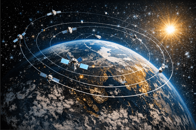
Orta Dünya Yörüngesi (MEO)
Orta Dünya yörüngesi (Medium Earth Orbit, MEO), Alçak Dünya yörüngesi (LEO) ile Jeostatik Dünya yörüngesi (GEO) arasındaki irtifa aralığını kapsayan yörünge bölgesidir. Orta Dünya yörüngesi, Alçak Dünya yörüngesi ile Jeostatik Dünya yörüngesi arasındaki irtifalarda yer alır ve birçok tanımda Van Allen kuşaklarıyla ilişkili irtifa bölgeleri dikkate alınarak ele alınır. Yörünge Yüksekliği, Hız ve Periyot Orta Dünya yörüngesi, tek bir sabit yükseklik yerine bir irtifa bandını ifade eder. Bazı tanım
TRHüsnü Umut Okur
FıFırsat Sinyalleri (Signal of Opportunity - SoOP)
Fırsat Sinyalleri (Signal of Opportunity - SoOP), çevrede halihazırda bulunan elektromanyetik sinyallerin (radyo, televizyon, uydu, Wi-Fi, cep telefonu sinyalleri vb.) algılanarak konum belirleme, izleme ve çevresel analiz gibi çeşitli amaçlar için kullanılması prensibine dayanan bir tekniktir. Bu yöntem, klasik sensör veya özel sinyal vericiler gerektirmeden mevcut sinyalleri değerlendirerek bilgi çıkarımı yapmayı mümkün kılar. Geleneksel küresel konumlandırma sistemleri (GPS, GNSS vb.) veya ra
TRKübra Cin
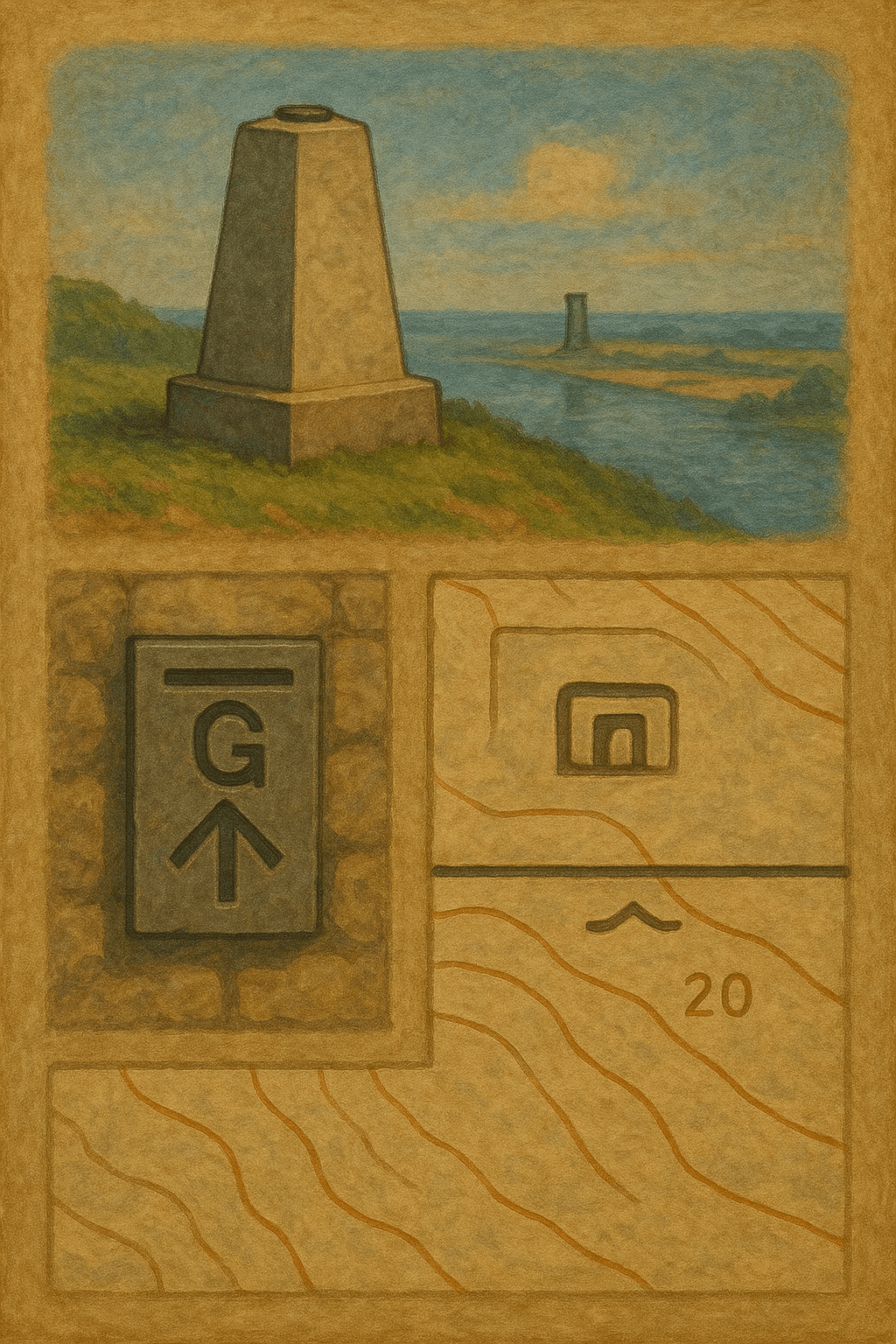
Datum
Jeodezik datum, yerin geometrik şekli, büyüklüğü, yerçekimi alanı ve zamansal değişimlerinin belirlenmesi ile ilgili tüm ölçme ve haritalama çalışmalarının temelini oluşturan referans sistemidir. Datum, ölçülerin yapılacağı yüzeyleri veya başlangıç noktalarını tanımlar ve bu sayede koordinat sistemlerinin, yükseklik sistemlerinin ve yerçekimi sistemlerinin oluşturulmasını mümkün kılar. Türleri Jeodezik datumlar, kapsadıkları ölçüm boyutlarına göre şu şekilde sınıflandırılır: Yatay datum (Horizon
TRSalih Bozkurt