

Uludere (District)
An ancient settlement located in the southeast of Türkiye, nestled among high mountains and emerald alpine meadows.. Şırnak is the province to which this district belongs, and it awaits discovery like a treasure, both for its natural beauty and its thousands of years of history.
Where is Uludere?
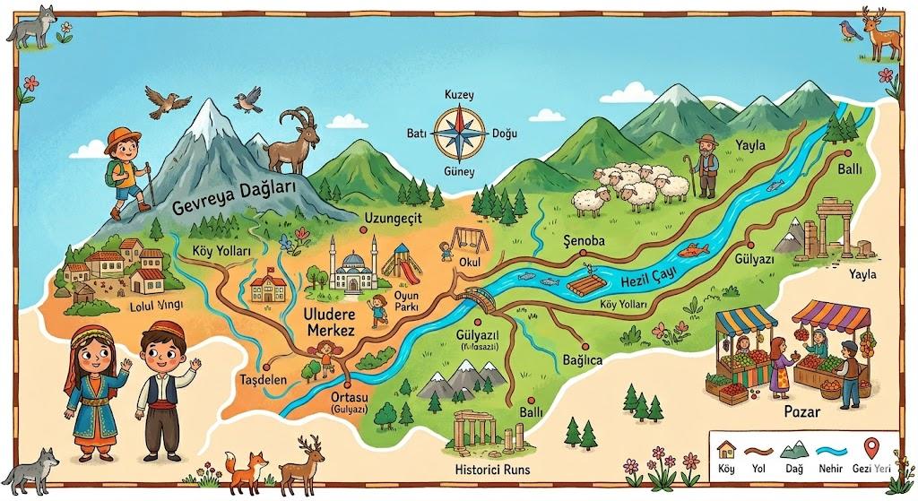
Uludere is a district of Türkiye that shares a border with Iraq. It is surrounded by the districts of Hakkari and other parts of Şırnak. The area features rugged and mountainous terrain. The highest point in the district is Kel Mehmet (Kêla Meme) Mountain, which reaches an elevation of 3200 meters. The district center lies at an altitude of 1230 meters above sea level. This significant elevation difference has given rise to a wide variety of natural beauties in the region.

Kel Mehmet Mountains (generated by artificial intelligence)
Natural Beauties and Alpine Meadows
When Uludere is mentioned, the first thing that comes to mind is its vast alpine meadows. Some of these meadows reach elevations of up to 3200 meters. With their pristine air, oak forests, and ice-cold spring sources, these areas are like the heart of nature.
In the region’s alpine meadows, beekeeping and small-scale livestock farming are especially practiced. Avaspi, Tanin, and Meydan meadows are among the best-known natural areas. Many of these meadows are easily accessible by paved road.

Avaspi Alpine Meadow (generated by artificial intelligence)
A Journey Through Time: The History of Uludere
The history of Uludere extends back 5000 years to around 3000 BCE. Throughout history, these lands have served as home to many great empires:
- Ancient Periods: First the Urartians, followed by the Medes, Persians, and Romans inhabited this region.
- Ottoman Period: Uludere became part of the Ottoman Empire in 1534 during the reign of Kanuni Sultan Süleyman.
- Republican Period: After the founding of the Republic of Türkiye, it was initially attached to Hakkari and in 1990 was incorporated into Şırnak, assuming its current form.