


This article was automatically translated from the original Turkish version.
+2 More
Şereflikoçhisar (District)
Province | Ankara | ||||||||
|---|---|---|---|---|---|---|---|---|---|
Geographic Region | Central Anatolia | ||||||||
Population | 34.122 | ||||||||
District Governor | Zafer ENGİN | ||||||||
Mayor | Mustafa KOÇAK | ||||||||
Şereflikoçhisar is a district in the Central Anatolia Region of Türkiye, subordinate to the province of Ankara. Located approximately 150 kilometers from the capital Ankara, it lies southeast of Tuz Gölü. The district covers an area of about 2,000 square kilometers and features the typical steppe landscape of Central Anatolia. It experiences a continental climate with hot dry summers and cold snowy winters.
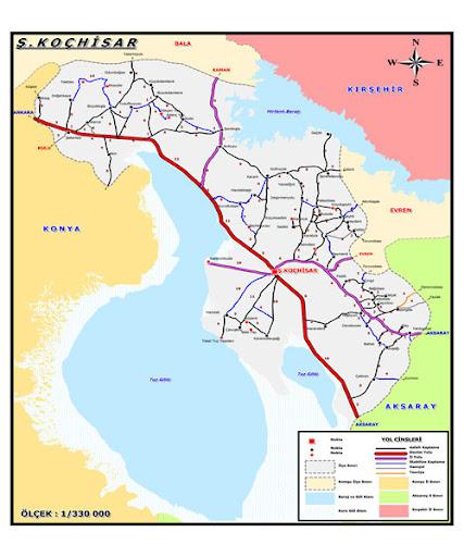
Şereflikoçhisar borders the districts of Bala and Evren in Ankara, Kaman in Kırşehir, Ağaçören and Sariyahşi in Aksaray, and Kulu in Konya. Tuz Gölü, the second largest lake in Türkiye with an area of 1,642 square kilometers, lies entirely within the district boundaries. Additionally, the Hirfanlı Dam Lake, located in the northern part of the district, is used for irrigation and fish production.
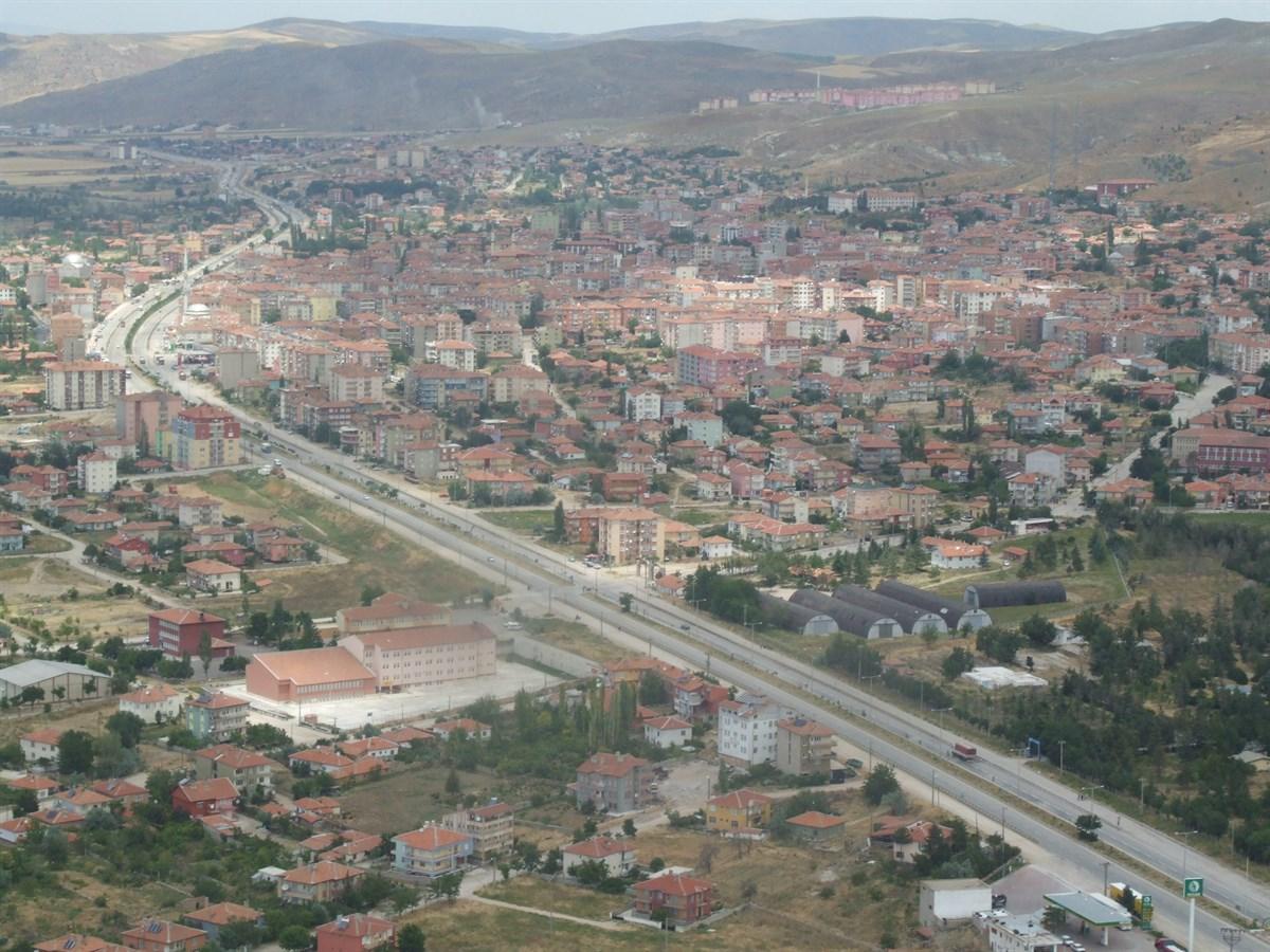
Ankara, Şereflikoçhisar Havadan Görünümü (Şereflikoçhisar Kaymakamlığı)
Şereflikoçhisar is an ancient settlement in Central Anatolia with historical roots extending back to the Hittites, Phrygians, Romans, Byzantines and Seljuks. During the Anatolian Seljuk period, the town was known as “Koşhisar.” In the Ottoman era, it adopted the name “Koçhisar.” It suffered extensive damage during the Celali rebellions of the 17th century. From the 18th century onward, it began to be called “Koçhisar-ı Karaman” and later “Şerefli Koçhisar” due to the influence of the Şerefli Tribe, which settled in the region.
There are two main traditions regarding the origin of the title “Şerefli.” According to the first, the name derives from the Şerefli Tribe, which lived in the area and held a special status within the Ottoman administrative system. According to the second tradition, the title “Şerefli” was added during the reign of Sultan Abdülhamid II in recognition of the district’s population’s bravery and voluntary military support during the Russo-Turkish War of 1877–1878 (the 93 War).
During the Republican period, to avoid confusion with other similarly named settlements, the official name “Şereflikoçhisar” was adopted, and the district was attached to Ankara in 1933.
The district consists largely of plains and steppe areas. One of its most notable geographical features is Tuz Gölü, which lies directly along its border. Tuz Gölü affects the region not only economically but also climatically; the area around the lake is typically dry and windy. Although the soil is partially suitable for agriculture, productivity is limited due to aridity and salinity. The district’s elevation is approximately 975 meters.
The climate is a harsh continental type characteristic of Central Anatolia. Summers are long hot and dry while winters are cold, sometimes snowy, and prone to frost. Precipitation generally occurs in spring and autumn.
According to data from the Ankara Provincial Directorate of Culture and Tourism, the population of Şereflikoçhisar is 34,122. The majority of the population resides in the district center, while the remainder is distributed among surrounding villages and towns. In recent years, population growth has slowed significantly due to migration. In particular, young people are migrating to larger cities such as Ankara, Konya and Aksaray in search of education and employment opportunities.
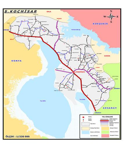
Ankara, Şereflikoçhisar Haritası (Ankara Valiliği)
When examining the age distribution of the population, it is evident that the proportion of elderly residents is increasing while the youth population is declining. This trend has led to a reduction in the rural labor force and has resulted in the near-total depopulation of some villages. The ethnic composition of the district is largely homogeneous, with a Turkish majority. However, it is known that some families migrated to the district from the Balkans and Eastern Anatolia in the past. Social life retains its traditional structure, with kinship ties and neighborhood culture still holding considerable importance.
The district’s economy is largely based on agriculture and animal husbandry, although arid climatic conditions limit agricultural output. One of its most important economic activities is salt production from Tuz Gölü, which supplies a significant portion of Türkiye’s salt needs. In addition, there are small-scale businesses engaged in trade and handicrafts.
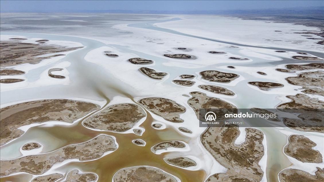
Ankara, Şereflikoçhisar, Tuz Gölü Havzası (AA)
In addition to state schools, the district hosts a Vocational School affiliated with Aksaray University. Educational levels have improved in recent years. Culturally, traditional Anatolian life is preserved; weddings, holidays and local festivals remain important community events. Cultural elements such as folk dances and regional costumes continue to be actively maintained.
The most well-known natural attraction in Şereflikoçhisar is Tuz Gölü. The lake is visited annually by thousands of domestic and international tourists, particularly during summer months for photography and nature walks. The historical ruins of Koçhisar Castle, after which the district is named, still remain today. In addition, thermal springs such as the Karakaya Hot Springs are located in the surrounding area.
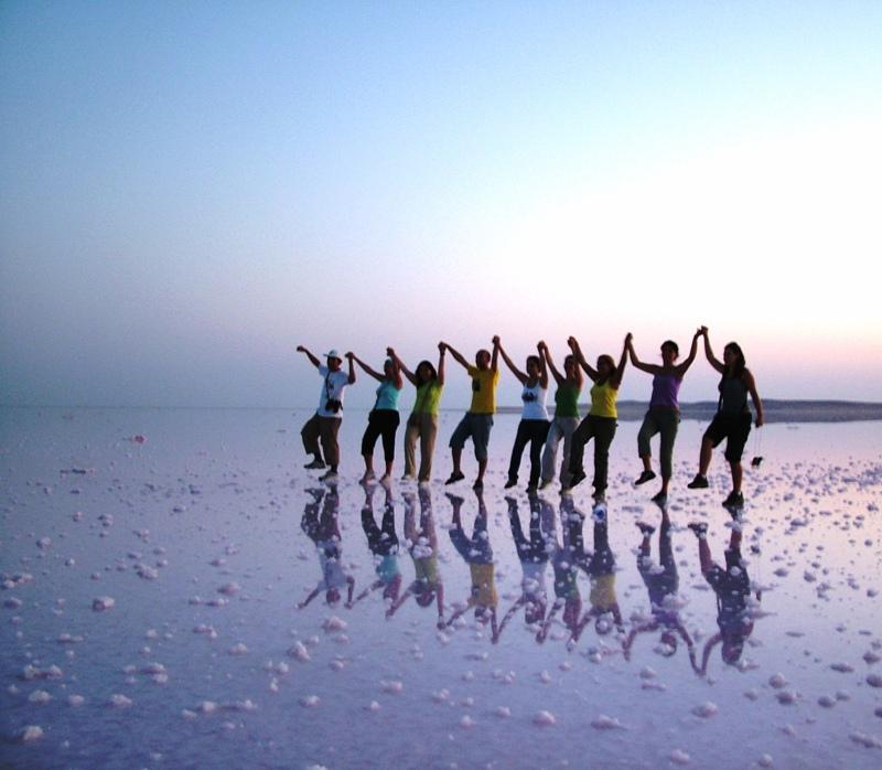
Ankara, Şereflikoçhisar, Tuz Gölü (Şereflikoçhisar Belediyesi)
Ankara Valiliği. "Şereflikoçhisar." Ankara Valiliği Resmî Web Sitesi. Accessed May 8, 2025.http://www.ankara.gov.tr/sereflikochisar
T.C. Ministry of Culture and Tourism. "Şereflikoçhisar." Ministry of Culture and Tourism Official Website. Accessed May 8, 2025.https://ankara.ktb.gov.tr/TR-152782/sereflikochisar.html
Şereflikoçhisar Belediyesi. "Coğrafyası." Şereflikoçhisar Municipality Official Website. Accessed May 8, 2025.https://www.sereflikochisar.bel.tr/sayfa/cografyasi.html
Şereflikoçhisar Belediyesi. "Tarihçemiz." Şereflikoçhisar Municipality Official Website. Accessed May 8, 2025.https://www.sereflikochisar.bel.tr/sayfa/tarihcemiz.html

Şereflikoçhisar (District)
Province | Ankara | ||||||||
|---|---|---|---|---|---|---|---|---|---|
Geographic Region | Central Anatolia | ||||||||
Population | 34.122 | ||||||||
District Governor | Zafer ENGİN | ||||||||
Mayor | Mustafa KOÇAK | ||||||||
No Discussion Added Yet
Start discussion for "Şereflikoçhisar (District)" article
History
Geography and Climate
Population and Demographic Structure
Economy
Education and Culture
Tourism and Natural Attractions