


This article was automatically translated from the original Turkish version.
+2 More
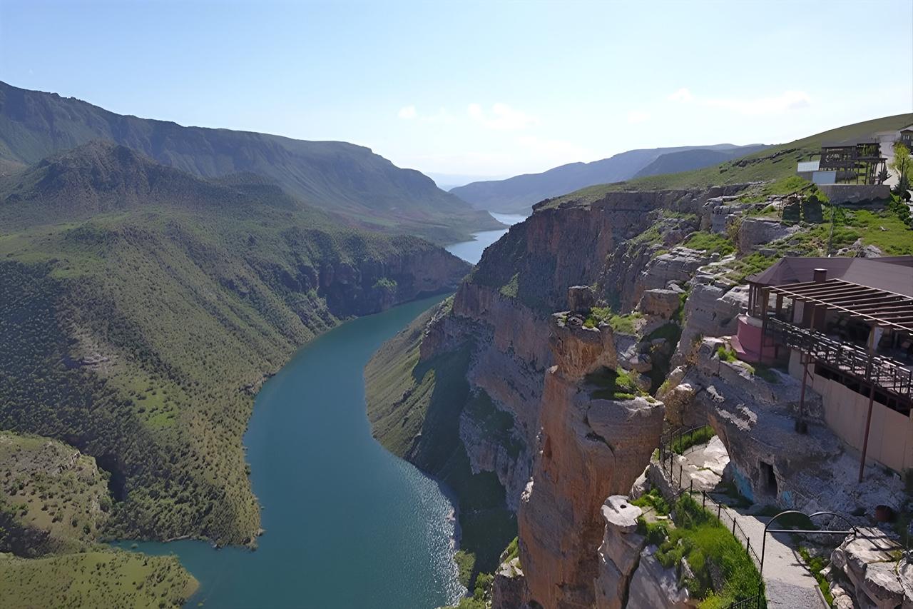
Location | Siirt Türkiye (4 km southeast of Siirt) | ||||||||
|---|---|---|---|---|---|---|---|---|---|
Region | Rasıl Hacar Hill Botan Valley | ||||||||
Activities | Photography, nature walking, landscape viewing. | ||||||||
Elevation | Approximately 350 meters from the Botan River | ||||||||
Historical Significance | The cave was carved into vertical limestone cliffs before the Common Era. | ||||||||
Delikli Taş (Rasıl Hacar) is a natural formation and tourist area located in the Botan Valley in Siirt Province, Türkiye. This site, associated with Rasıl Hacar Hill and Taşbaşı Cave, attracts local and international tourists with its unique landscapes, natural beauty, and historical texture. Situated approximately 4 kilometers southeast of Siirt city center, the area overlooks the Botan River (Uluçay) from a height of 350 meters and has become one of the new destinations for nature enthusiasts.
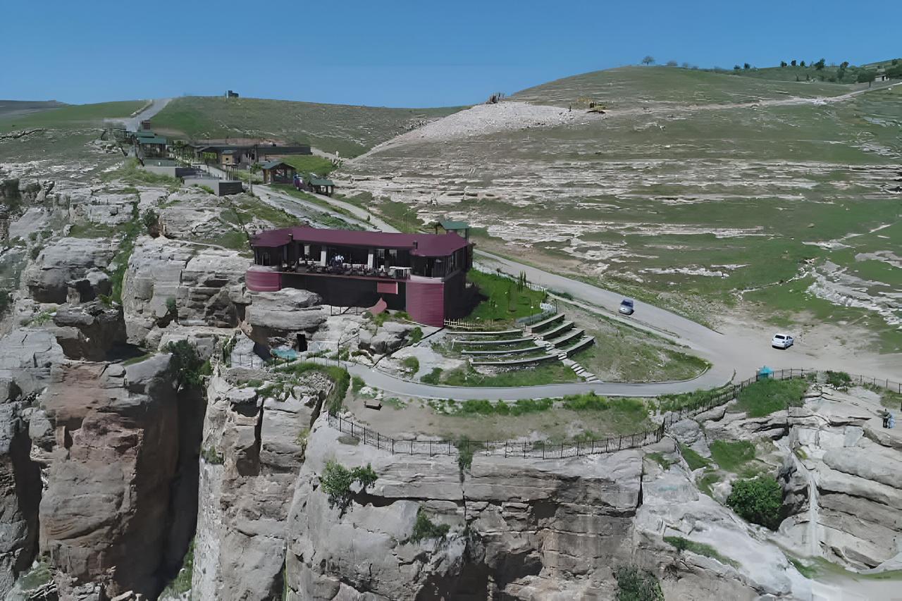
An image related to Delikli Taş (Siirt Municipality)
Rasıl Hacar Hill is a natural elevation reaching approximately 350 meters in height, named after the distinctive perforated rock in the area. Located with a bird’s-eye view over the Botan Valley, the hill draws attention with its panoramic scenery, natural landscape features, and resting areas. Visitors who climb the rocky terrain capture panoramic photographs of the valley while experiencing the region’s natural environment. The symbolic feature of the hill, the “Delikli Taş,” stands out as one of the most prominent natural formations due to its commanding position over the valley.
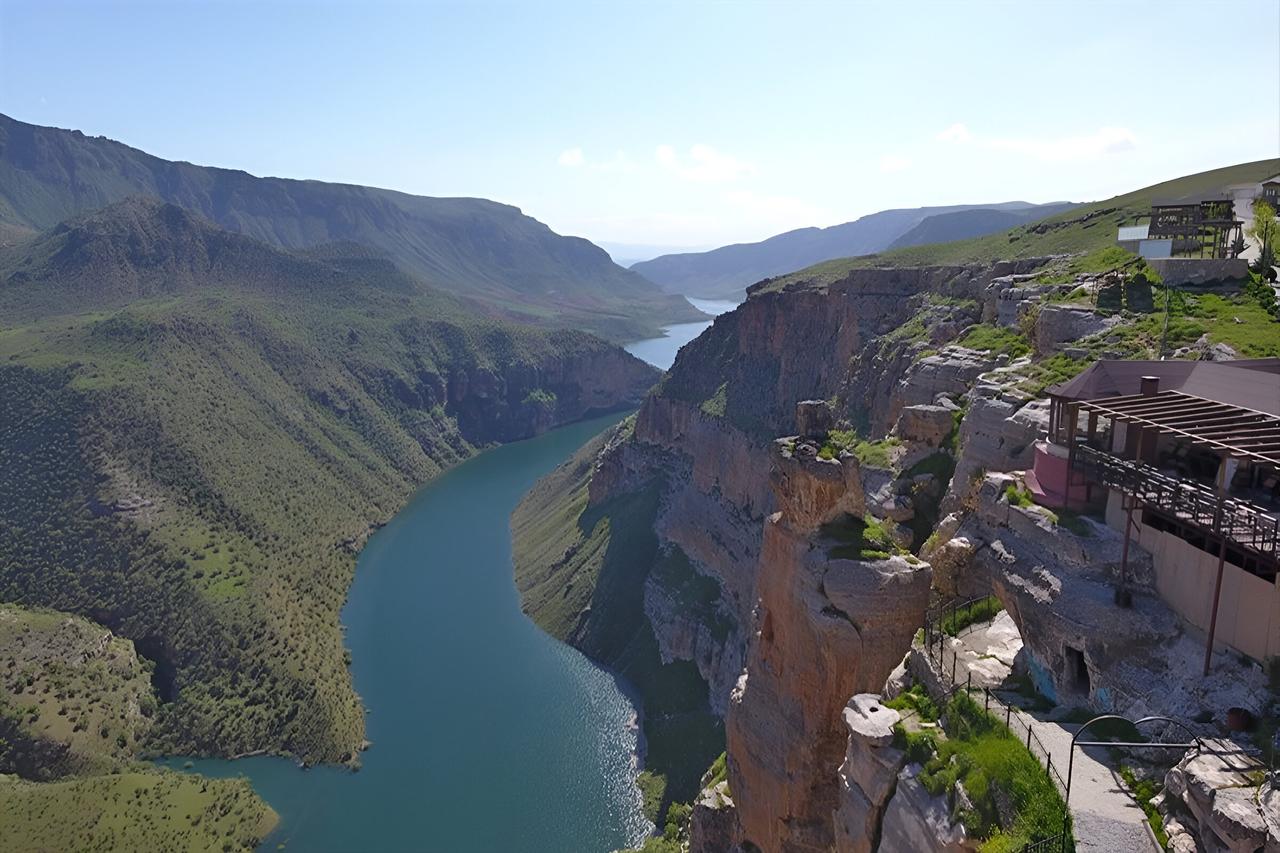
An image related to Delikli Taş (Siirt Municipality)
Taşbaşı Cave is located immediately beside Delikli Taş, overlooking the Uluçay (Botan River). The cave, situated approximately 4 kilometers southeast of Siirt city center, was formed by the erosion of limestone cliffs in prehistoric times. Archaeological findings reveal that the cave was used as a shelter in antiquity, with visible traces of tool-carved markings on its interior surfaces. The cave’s structure consists of two distinct sections connected by a small opening in the center, allowing internal passage between them. Its current status as a free-to-visit site enhances its tourist appeal.
Adjacent to the cave lies a large rock formation known locally as the “Jumping Rock,” distinguished by its vertical structure. The name derives from young visitors who leap between the two rocks to demonstrate their courage. The Jumping Rock contributes to the region’s cultural landscape as an original feature, valued both for its natural geomorphological form and its functional and symbolic meaning among the local population.
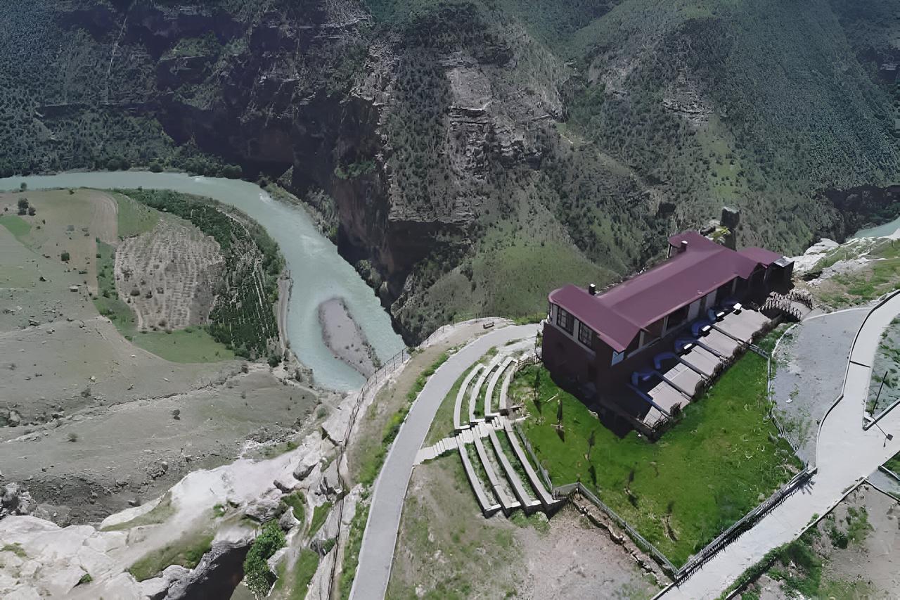
An image related to Delikli Taş (Siirt Municipality)
Delikli Taş and Taşbaşı Cave occupy a unique position offering views of the winding course of the Botan River from above. The scenic vista of the Uluçay (Botan River) below, combined with surrounding rocky formations and the cave’s natural structure, provides visitors with a visually rich experience. The area ranks among Siirt’s most prominent tourist destinations due to its historical shelters and natural landscape elements. Known locally as Rasıl Haca, Delikli Taş, with its panoramic views of the Botan Valley and the historical significance of Taşbaşı Cave, stands as an attractive destination for those interested in nature and cultural tourism.
Anadolu Ajansı. “Botan Vadisi’ne Tepeden Bakış İlgi Görüyor.” Foto Galeri. Accessed March 30, 2025.https://www.aa.com.tr/tr/pg/foto-galeri/botan-vadisine-tepeden-bakis-ilgi-goruyor/0.
Fırat Üniversitesi Gazetesi. “Siirt’in Güzellikleri: Botan Vadisi ve Delikli Taş.” Accessed March 30, 2025.https://gazete.firat.edu.tr/siirtin-guzellikleri-botan-vadisi-ve-delikli-tas.html.
Siirt Belediyesi. "Taşbaşı Delikli Taş." Accessed March 30, 2025.https://www.siirt.bel.tr/tasbasi-deliklitas.
Siirt Valiliği. "Taşbaşı Delikli Taş Siirt." Accessed March 30, 2025.http://www.siirt.gov.tr/tasbasi-deliklitassiirt.

Location | Siirt Türkiye (4 km southeast of Siirt) | ||||||||
|---|---|---|---|---|---|---|---|---|---|
Region | Rasıl Hacar Hill Botan Valley | ||||||||
Activities | Photography, nature walking, landscape viewing. | ||||||||
Elevation | Approximately 350 meters from the Botan River | ||||||||
Historical Significance | The cave was carved into vertical limestone cliffs before the Common Era. | ||||||||
Rasıl Hacar Hill
Taşbaşı Cave
Jumping Rock
Natural and Historical Value