


This article was automatically translated from the original Turkish version.
+1 More
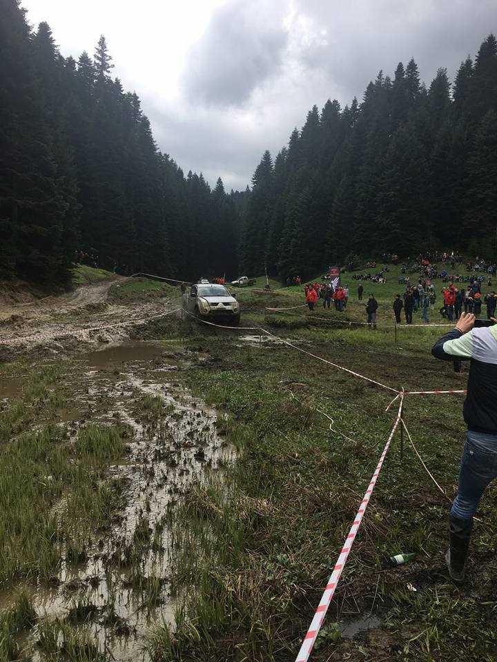
Kocayayla(Kültürportalı)
Location | approximately 35 km southeast Düzce provincial center | ||||||||
|---|---|---|---|---|---|---|---|---|---|
Elevation | approximately 1450 meters | ||||||||
Natural Structure | extensive grasslands surrounded by forests | ||||||||
Vegetation Cover | hornbeam seasonal flowering gurgun silver fir | ||||||||
Activities | camping, hiking, picnicking, landscape observation | ||||||||
Kocayayla is one of the high-altitude plateaus in the region, located approximately 35 kilometers from the center of Düzce province at an elevation of 1,450 meters. Surrounded by extensive forested areas, this plateau offers a quiet and serene environment ideal for nature lovers seeking camping, hiking, and observation activities. Kocayayla lies adjacent to Şehirli Yaylası, one of Düzce’s largest plateaus, and together with surrounding plateaus forms an important destination for plateau tourism.
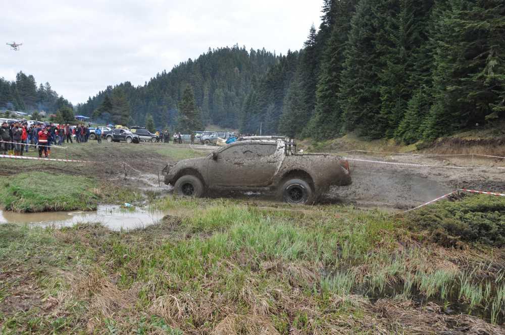
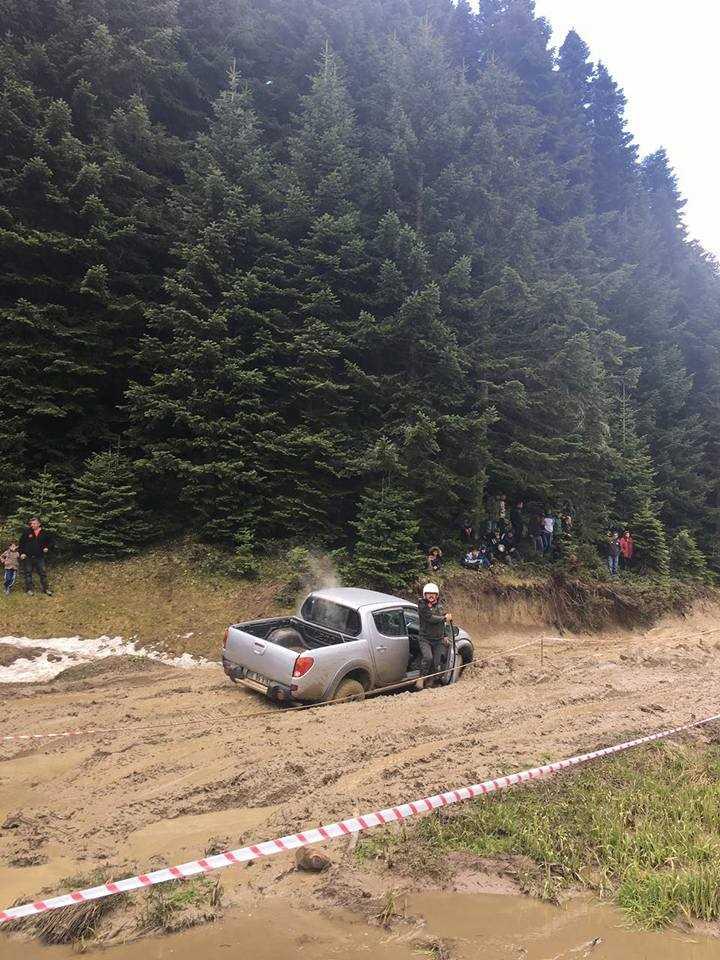
Kocayayla is situated in the interior parts of the Western Black Sea Region, southeast of the city center of Düzce. Access to the plateau is provided via stabilized and forested roads. These routes are suitable for specialized vehicles during the summer months; however, access can become difficult in winter due to snow cover and mud. Access to the plateau is primarily possible via routes leading from Samandere Waterfall or Derdin. Although the infrastructure is limited, its location remains accessible for nature tourism.
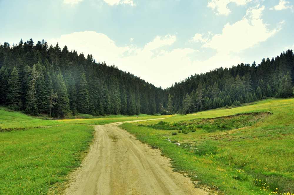
Kocayayla (Kültürportalı)
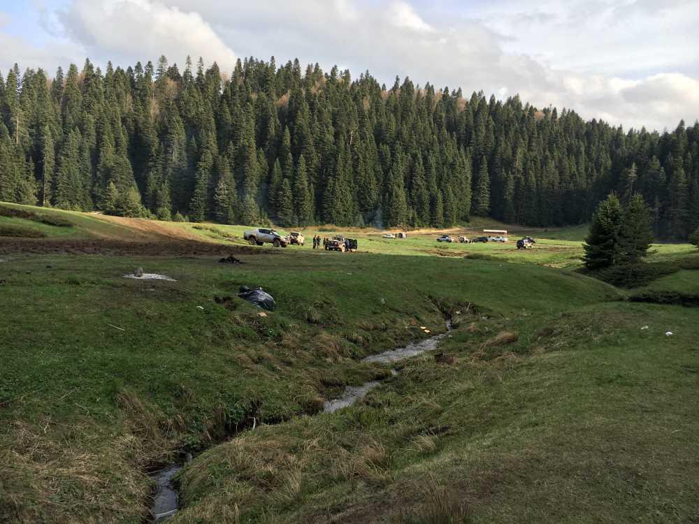
The plateau’s elevation of 1,450 meters determines both its climatic characteristics and vegetation cover. It is characterized by flat meadows, gently sloping slopes, and surrounding forests. This terrain structure provides suitable flat areas for tent camping and natural trails for hiking. Due to the elevation, there are significant differences between day and night temperatures; therefore, campers must carefully assess weather conditions.
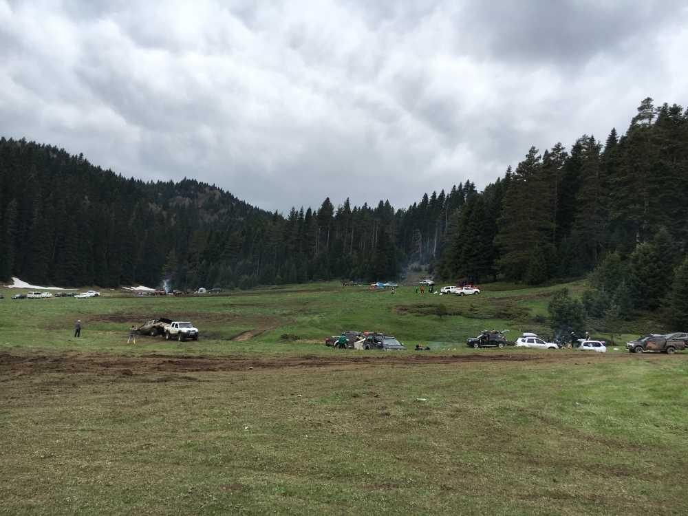
Kocayayla lies within a microclimate influenced by the transition of the Black Sea climate into inland areas. Summer months are marked by cool, clean, and humid air. In spring, soil moisture is high, and patches of snow may still be present. Autumn brings distinctive leaf-fall landscapes that enhance the plateau’s scenic value. Winter months see heavy snow cover, significantly reducing tourism activity. As a result, the plateau is primarily used between May and October.
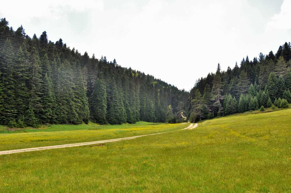
Kocayayla (Kültürportalı)
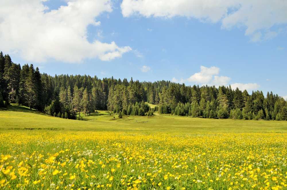
The plateau is distinguished by its rich surrounding forest cover. These forested areas, dominated by Black Sea-specific tree species such as beech, hornbeam, and oriental beech, create a seamless transition between the plateau and its natural surroundings. The expansive meadows within the plateau are covered in flowers of purple, yellow, and white tones during seasonal blooming periods, enhancing both the visual landscape and biological diversity.
Kocayayla, with its undeveloped natural character, is particularly suitable for nature-based tourism activities targeting individuals and small groups. The following recreational uses stand out:
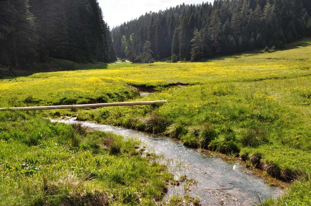
Kocayayla (Kültürportalı)
There are no structures or tourist facilities at Kocayayla. Basic infrastructure services such as electricity, drinking water, and restrooms are not available. While this preserves the plateau’s natural and undisturbed character, visitors must meet their own basic needs. Therefore, those visiting the area are expected to be equipped with camping gear, drinking water, and waste collection tools.
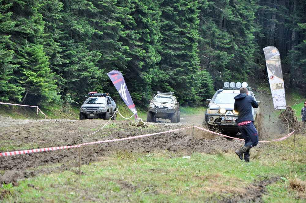
The plateau does not hold any official conservation status (such as a nature park or SİT area). However, its natural structure has remained largely intact to the present day. With increasing interest in nature tourism, environmental threats such as littering, uncontrolled fire use, and motorized vehicle access may arise. Therefore, practices promoting sustainable use are essential. Conscious visitor behavior and support from local authorities will ensure the long-term protection of this natural area.
Kocayayla (Kültürportalı)
Kocayayla (Kültürportalı)
Kocayayla (Kültürportalı)
Kocayayla (Kültürportalı)
Kocayayla (Kültürportalı)
Kocayayla (Kültürportalı)
Kocayayla (Kültürportalı)
T.C. Ministry of Culture and Tourism. "Kocayayla." *Kültür Portalı – Gezilecek Yerler*. Accessed July 12, 2025.https://www.kulturportali.gov.tr/turkiye/duzce/gezilecekyer/kocayayla-1-2.
T.C. Ministry of Culture and Tourism. "Kocayayla." Kültür Portalı –Turizm Aktiviteleri. Accessed July 12, 2025.https://www.kulturportali.gov.tr/turkiye/duzce/TurizmAktiviteleri/kocayayla-1
T.C.Düzce İl Directorate of Culture and Tourism. "Kocayayla." Düzce Kültür veTurizm İl Müdürlüğü Resmî Web Sitesi. Accessed July 12, 2025.https://duzce.ktb.gov.tr/TR-208152/kocayayla.html.
Kocayayla(Kültürportalı)
Location | approximately 35 km southeast Düzce provincial center | ||||||||
|---|---|---|---|---|---|---|---|---|---|
Elevation | approximately 1450 meters | ||||||||
Natural Structure | extensive grasslands surrounded by forests | ||||||||
Vegetation Cover | hornbeam seasonal flowering gurgun silver fir | ||||||||
Activities | camping, hiking, picnicking, landscape observation | ||||||||
Geographical Location and Accessibility
Topography and Elevation Structure
Climatic Features and Seasonal Use
Vegetation and Natural Landscape
Recreational Activities and Tourism Potential
Infrastructure and Development Status
Conservation Status and Preservation of Natural Balance