


This article was automatically translated from the original Turkish version.
+2 More
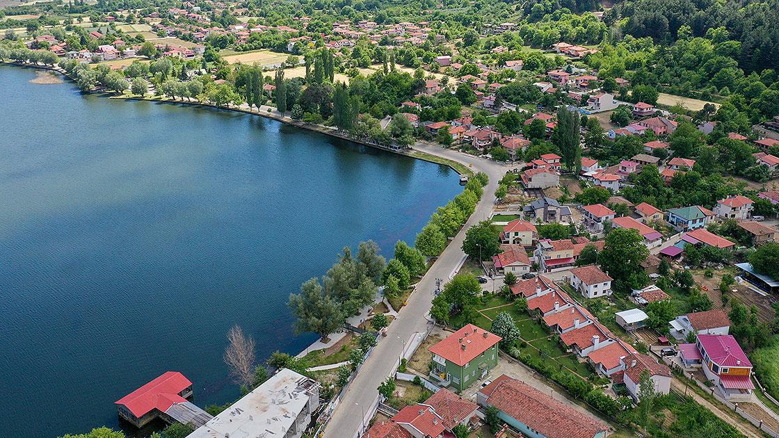
İzmir Gölcük Gölü
Location | İzmir Ödemiş district Bozdağlar Plateau | ||||||||
|---|---|---|---|---|---|---|---|---|---|
Elevation | Approximately 1100 metres | ||||||||
Area | Approximately 0.84 km² (lake surface) | ||||||||
Depth | Average 3-4 metres Maximum depth of 10 metres | ||||||||
Formation | Alluvial dam lake formed by tectonic movements | ||||||||
Ecosystem | Freshwater ecosystem hosting rich fish and bird species | ||||||||
İzmir’s Ödemiş district is home to Gölcük Lake, which is situated among the natural areas of the Aegean Region; it is characterized by its geological structure, hydrological features, biological diversity, and tourism potential. This wetland, located at an elevation of approximately 1100 metres on the upper reaches of the Bozdağlar, is considered a site of scientific interest for ecological studies and monitoring of natural habitats due to its ecosystem characteristics and current conservation status.
Gölcük Lake lies within the boundaries of Ödemiş district in İzmir Province in the Aegean Region. The lake is situated at the summit of the Bozdağlar at an elevation of approximately 1100 metres, 5 kilometres southwest of Bozdağ town and 10 kilometres from Ödemiş. Gölcük Lake is 105 kilometres from İzmir, 78 kilometres from Selçuk, and 65 kilometres from Torbalı. The Gölcük Yaylası, named after the lake, is the largest of the north-south oriented troughs on the Bozdağlar Plateau.
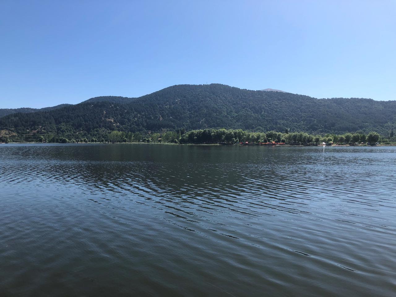
İzmir Gölcük Gölü (T.C Tarım ve Orman Bakanlığı)
Gölcük Lake is part of the Tabak Çayı drainage basin and constitutes a small catchment area. Waters flowing from the basin reach the Gediz River via Tabak Çayı and ultimately discharge into the Aegean Sea. Therefore, the Gölcük Lake catchment is an open basin.
Fluctuations in the lake’s water level are primarily linked to snowmelt and precipitation. Water extraction from the lake for irrigation during summer months to support potato and bean farming in surrounding areas causes variations in water levels. The lake level rises during winter and spring due to increased rainfall, and under certain conditions, excess water is discharged via Tabak Çayı for flood control.
Several scientific theories have been proposed regarding the formation of Gölcük Lake. The main hypotheses are as follows:
In addition to these theories, the Yurt Encyclopedia also describes the lake as a small crater lake.
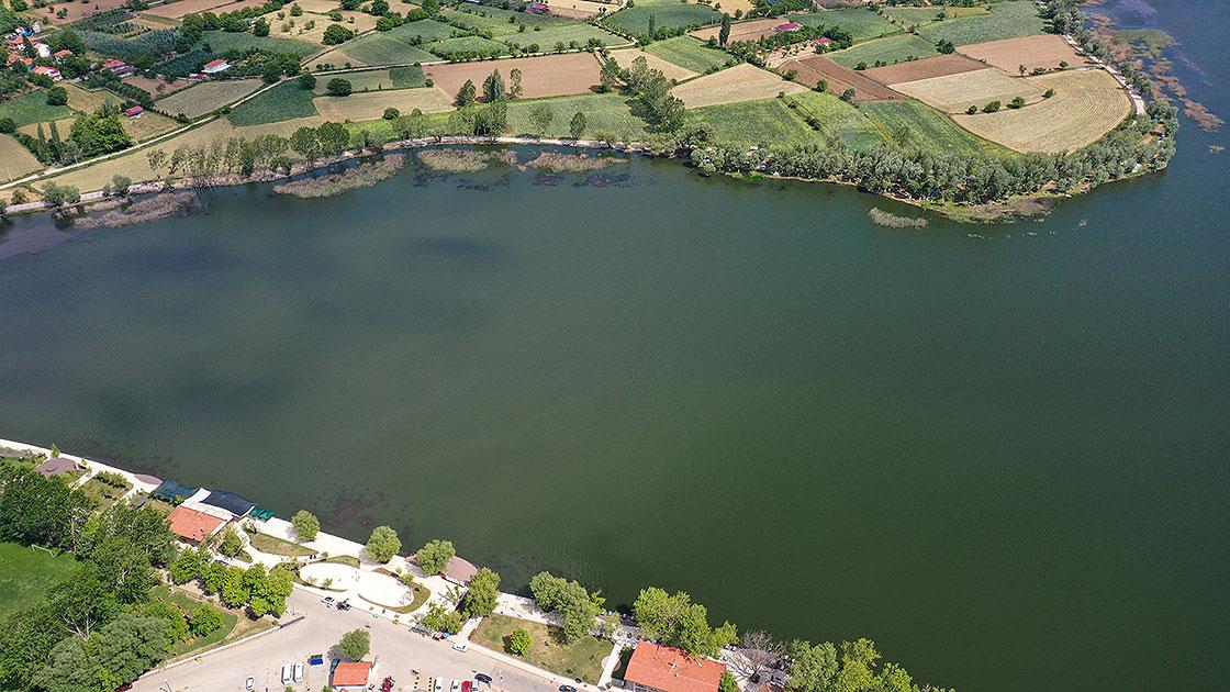
İzmir Gölcük Gölü (Anadolu Ajansı)
Gölcük Lake is a freshwater ecosystem and particularly rich in fish diversity. The vegetation around the lake is typical of the Mediterranean climate, featuring evergreen and coniferous trees as well as drought-resistant shrubs. The lake and its surrounding wetlands serve as habitats for numerous bird species. Furthermore, analyses of sediment layers in the lake have revealed ash particles from the volcanic eruption of Santorini in the Aegean Sea approximately 3500 years ago, significantly enhancing the lake’s geological importance.
Gölcük Lake and its surroundings lie within the influence of the Mediterranean climate, but due to its location at the summit of the Bozdağlar, it experiences a cooler climate than the surrounding valleys. Average temperatures are 19°C in July and 3°C in January. Annual precipitation averages around 1000 mm, reaching up to 1362.6 mm at the Bozdağ summit. The area experiences snowfall on approximately 15 days per year.
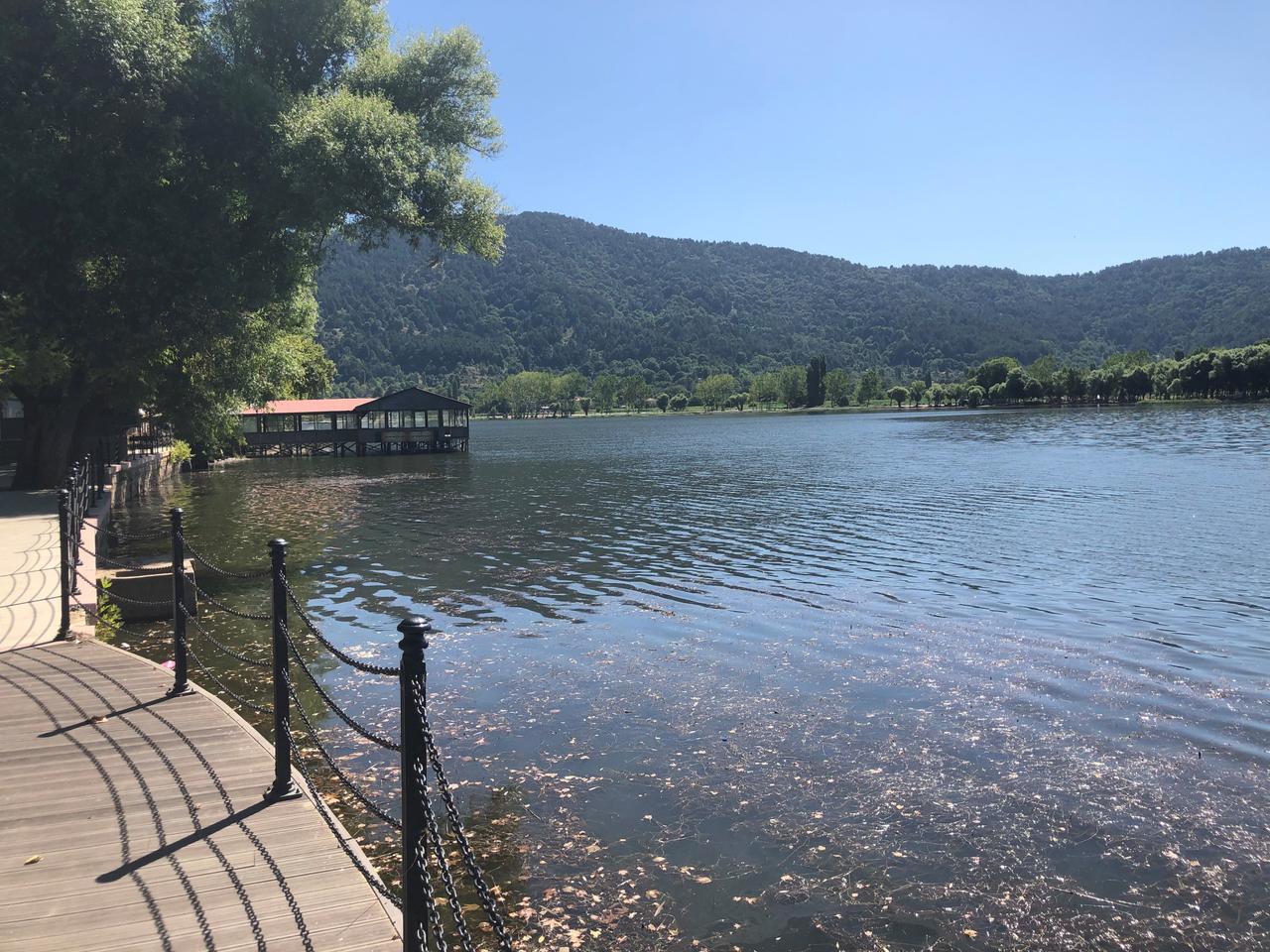
İzmir Gölcük Gölü (T.C Tarım ve Orman Bakanlığı)
Gölcük Lake and its surroundings have been declared a “Strictly Protected Sensitive Area” by presidential decree. Additionally, on 30 December 2022, the General Directorate of Nature Conservation and National Parks granted it the status of a “Locally Significant Wetland.” The registered boundary of the wetland covers an area of 1521 hectares.
Gölcük Yaylası is used by local communities during summer months for picnics, camping, and tourism. Additionally, potato and bean cultivation is practiced in agricultural areas around the lake. The village of Gölcük Mahallesi functions as a seasonal settlement, inhabited during summer months on the plateau and relocated to the valley during winter.
Gölcük Lake attracts domestic and international visitors, especially during summer months, due to its natural beauty and cool climate. The pine forests surrounding the lake provide ideal settings for picnics and camping. Moreover, its proximity to Birgi, an important settlement during the Aydınoğulları Beylik and Ottoman periods (20 km away), and to Sart, the center of the ancient Kingdom of Lydia (30 km away), enhances the region’s tourism appeal.
Ceylan, M. Akif. “Gölcük Gölü (Ödemiş / İzmir).” DergiPark. Accessed May 16, 2025.https://dergipark.org.tr/tr/download/article-file/707730
Fidan, Halil. “Kesin Korunacak Hassas Alan İlan Edilen Gölcük Gölü Ziyaretçilerini Bekliyor.” Anadolu Ajansı. Accessed May 16, 2025.https://www.aa.com.tr/tr/yasam/kesin-korunacak-hassas-alan-ilan-edilen-golcuk-golu-ziyaretcilerini-bekliyor/2266898
Kültür Portalı. "Ödemiş - Gölcük." Kültür Portalı. Accessed May 16, 2025.https://www.kulturportali.gov.tr/turkiye/izmir/gezilecekyer/odemis---golcuk
Visit İzmir. "Gölcük Gölü." Accessed May 16, 2025.https://www.visitizmir.org/tr/destinasyon/11738
Ödemiş Belediyesi. “Gölcük.” Accessed May 16, 2025.https://www.odemis.bel.tr/tarihi-merkez/golcuk/26
Özdemir Mis, Didem, and M. Ruşen Ustaoğlu. “Gölcük Gölü’nün (Ödemiş, İzmir) Zooplanktonu Üzerine Araştırmalar.” *Ege Üniversitesi Su Ürünleri Fakültesi Dergisi* 26, no. 1 (2009): 19–27.http://www.egejfas.org/tr/download/article-file/57415
İzmir İl Directorate of Agriculture and Forestry. "İzmir Gölcük Gölü Mahalli Sulak Alanı." Accessed May 16, 2025.https://bolge4.tarimorman.gov.tr/Menu/43/Izmir-Golcuk-Golu-Mahalli-Sulak-Alani
İzmir Gölcük Gölü
Location | İzmir Ödemiş district Bozdağlar Plateau | ||||||||
|---|---|---|---|---|---|---|---|---|---|
Elevation | Approximately 1100 metres | ||||||||
Area | Approximately 0.84 km² (lake surface) | ||||||||
Depth | Average 3-4 metres Maximum depth of 10 metres | ||||||||
Formation | Alluvial dam lake formed by tectonic movements | ||||||||
Ecosystem | Freshwater ecosystem hosting rich fish and bird species | ||||||||
Geographical Location and General Characteristics
Hydrographic Features
Formation
Ecosystem and Natural Structure
Climate and Meteorological Features
Conservation Status
Economic and Social Activities
Tourism Potential