This article was automatically translated from the original Turkish version.
+1 More
Dam Type | Rockfill dam | ||||||||
|---|---|---|---|---|---|---|---|---|---|
Dam Height | 46 metres | ||||||||
Lake Area | 0.43 km² | ||||||||
Water Storage Capacity | 7.40 hm³ | ||||||||
Location | Bilecik | ||||||||
Primary Purpose | Agricultural irrigation (805 hectares) | ||||||||
Construction Date | 1993 - 2001 | ||||||||
Rakım | 835 metres | ||||||||
Günyurdu Baraj Göleti, also known as Günyurdu (Bakraz) Dam, is an artificial reservoir located within the boundaries of Günyurdu village in the Pazaryeri district of Bilecik province. The structure, built on the Bakraş (or Bakraz) Creek, was primarily constructed for agricultural irrigation purposes.【1】
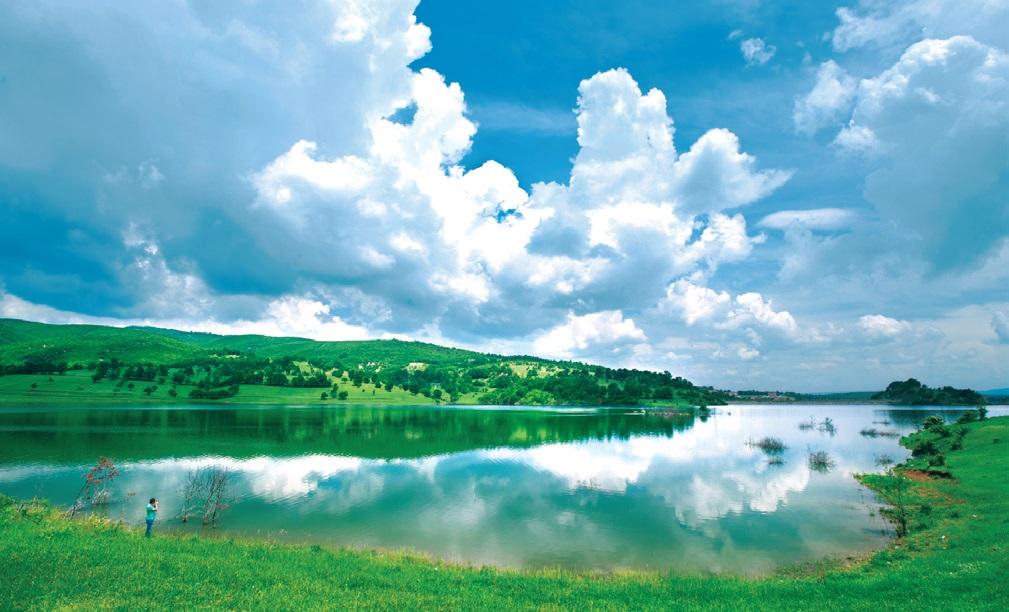
Günyurdu Göleti (T.C. BİLECİK VALİLİĞİ)
Construction of the dam began in 1993 and was completed and put into operation in 2001. Structurally, it is a rock-fill embankment dam with the following key technical parameters:
Günyurdu Göleti is located at coordinates 40° 02'09.85" north latitude and 29° 50'34.07" east longitude, at an elevation of 835 metres above sea level. Access to the area is via road; traveling 4.2 kilometres from Pazaryeri district towards Bursa or Küçükelmalı, then turning north at the Günyurdu-Büyükelmalı junction and continuing for 2.7 kilometres leads to the reservoir.【3】
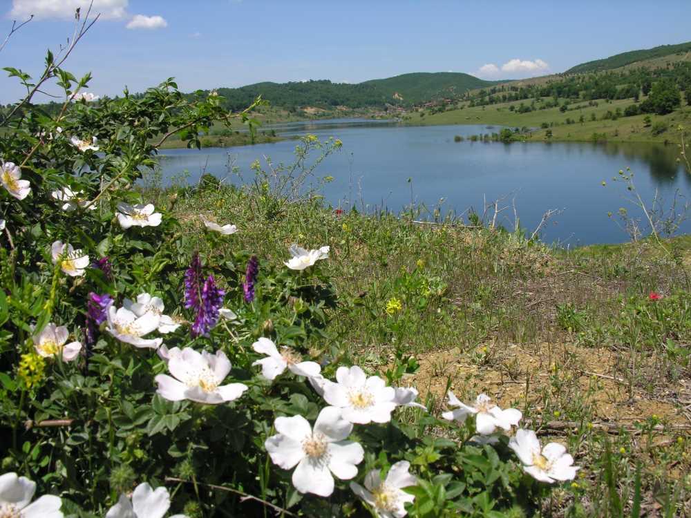
Günyurdu Göleti (KÜLTÜR PORTALI)
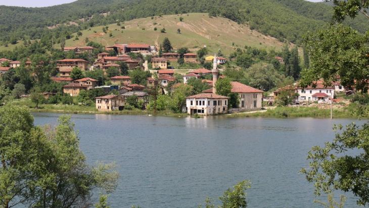
Following the commencement of water retention, physical changes occurred in the region’s topography and settlement patterns. A portion of the former settlement of Old Günyurdu Village, located approximately 3.5 kilometres around the reservoir, was submerged by the dam waters.【4】 Biologically, the reservoir and its surroundings serve as a natural habitat and breeding ground for the white stork and its chicks.【5】
In addition to its agricultural irrigation function, Günyurdu Göleti is now classified as one of Bilecik province’s nature tourism destinations. The area is utilized as a recreational zone and is also suitable for angling, nature walking, and landscape observation.【6】
Accessed November 26, 2025. https://www.aa.com.tr/tr/kultur/ahlatta-acilan-kurslarla-geleneksel-tas-isciligi-yasatiliyor/3116279.
Pazaryeri Belediye Başkanlığı. "Günyurdu (Bakraz) Barajı." Pazaryeri Belediyesi Resmi Web Sitesi. Accessed June 9, 2026.
T.C. Bilecik Valiliği. "Günyurdu Baraj Göleti." T.C. Bilecik Valiliği Resmi Web Sitesi. Accessed June 9, 2026.
T.C. Kültür ve Turizm Bakanlığı. "Günyurdu Göleti." Kültür Portalı. Last update: May 21, 2021. Accessed June 9, 2026.
https://www.bilecik.gov.tr/gunyurdu-baraj-goleti
https://www.pazaryeri.bel.tr/sayfa/gunyurdu-bakraz-baraji/
[1]
T.C. Bilecik Valiliği, “Günyurdu Baraj Göleti,” T.C. Bilecik Valiliği Resmi Web Sitesi, erişim tarihi: 9 Haziran 2026,
[2]
T.C. Bilecik Valiliği, “Günyurdu Baraj Göleti,” T.C. Bilecik Valiliği Resmi Web Sitesi, erişim tarihi: 9 Haziran 2026,
[3]
Pazaryeri Belediye Başkanlığı, “Günyurdu (Bakraz) Barajı,” Pazaryeri Belediyesi Resmi Web Sitesi, erişim tarihi: 9 Haziran 2026, https://www.pazaryeri.bel.tr/sayfa/gunyurdu-bakraz-baraji/
[4]
T.C. Bilecik Valiliği, “Günyurdu Baraj Göleti,” T.C. Bilecik Valiliği Resmi Web Sitesi, erişim tarihi: 9 Haziran 2026, https://www.bilecik.gov.tr/gunyurdu-baraj-goleti
[5]
Pazaryeri Belediye Başkanlığı, “Günyurdu (Bakraz) Barajı,” Pazaryeri Belediyesi Resmi Web Sitesi, erişim tarihi: 9 Haziran 2026, https://www.pazaryeri.bel.tr/sayfa/gunyurdu-bakraz-baraji/
[6]
T.C. Kültür ve Turizm Bakanlığı, “Günyurdu Göleti,” Kültür Portalı, son güncelleme: 21 Mayıs 2021, erişim tarihi: 9 Haziran 2026, https://www.kulturportali.gov.tr/turkiye/bilecik/gezilecekyer/gunyurdu-golet

Dam Type | Rockfill dam | ||||||||
|---|---|---|---|---|---|---|---|---|---|
Dam Height | 46 metres | ||||||||
Lake Area | 0.43 km² | ||||||||
Water Storage Capacity | 7.40 hm³ | ||||||||
Location | Bilecik | ||||||||
Primary Purpose | Agricultural irrigation (805 hectares) | ||||||||
Construction Date | 1993 - 2001 | ||||||||
Rakım | 835 metres | ||||||||
History and Technical Specifications
Geographical Location and Transportation Networks
Environmental Impacts, Topography and Ecosystem
Uses and Tourism Activities