


This article was automatically translated from the original Turkish version.
+1 More
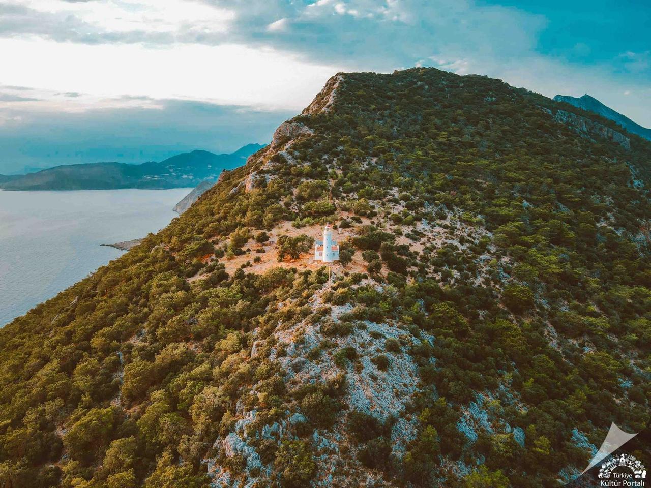
Gelidonya Lighthouse
Location | Antalya Kumluca District Mavikent Neighborhood Within the boundaries of Beydağları Coastal National Park, Taşlık Cape (Gelidonya Cape) | ||||||||
|---|---|---|---|---|---|---|---|---|---|
Physical Characteristics | Türkiye's highest sea lighthouse, located 227 meters above sea level and 3 kilometers offshore on sharp cliffs | ||||||||
History | Construction: 1934-1936. Initial lighting: Kerosene. Electricity was introduced in 2017 using solar energy (solar inverter system) | ||||||||
Transportation | A popular spot for camping and nature photography Accessible by foot via the Lycian Way trail from Karaöz. Nature hiking | ||||||||
Environmental and Cultural Characteristics | An important stop on the Lycian Way route. The ancient city of Melanippe is nearby. Offers views of Beş Adalar and Suluada. One of the most significant shipwrecks in world maritime history is located at Beş Adalar | ||||||||
Gelidonya Lighthouse is located on Taşlık Cape, within the boundaries of Kumluca District in Antalya Province, along Türkiye’s southern coast near Mavikent Neighborhood. Situated at an elevation of 227 meters above sea level on a dominant position overlooking the Mediterranean Sea, it is the highest-elevation lighthouse along Türkiye’s coastline. The lighthouse was constructed on sharp cliffs approximately three kilometers inland from the sea. The structure, situated within the boundaries of Beydağları Coastal National Park, is under protection.
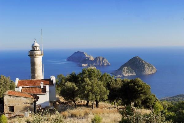
Gelidonya Feneri (TC.Kültür ve Turizm Bakanlığı)
Construction of the lighthouse began in 1934 and it became operational in 1936. At the time of its construction, illumination was provided by kerosene. Due to its remote location without access to an electrical grid, the lighthouse was manually operated for many years. In 2017, a solar-powered system was installed, enabling automatic operation using 220V electricity. The lighthouse provides navigational guidance over a wide maritime area including Gelidonya Cape, Taşlık Cape, and Kırlangıç Cape. The lighthouse building and its associated residence are protected under national heritage status by the General Directorate of Coastal Safety.
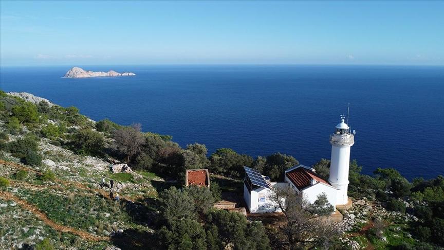
Gelidonya Feneri (Anadolu Ajansı)
Direct road access to Gelidonya Lighthouse is not possible. Visitors reach the site via a footpath that begins in Karaöz settlement and forms part of the Lycian Way. This trail passes through forested terrain to reach Taşlık Cape. The hiking route continues along the Mediterranean coastline toward Adrasan. The region features typical Mediterranean vegetation. Visitors can collect plants such as narcissus, thyme, sage, and bay leaves during their walk.
Gelidonya Lighthouse is one of the key stops along the Lycian Way. This area is frequently visited by hikers and nature enthusiasts. It offers scenic landscapes of great interest for nature photography. Visitors can set up tents and camp in the area. Various nature sports events and marathons are also organized along this route. From the lighthouse’s location, Suluada and the Five Islands are clearly visible.
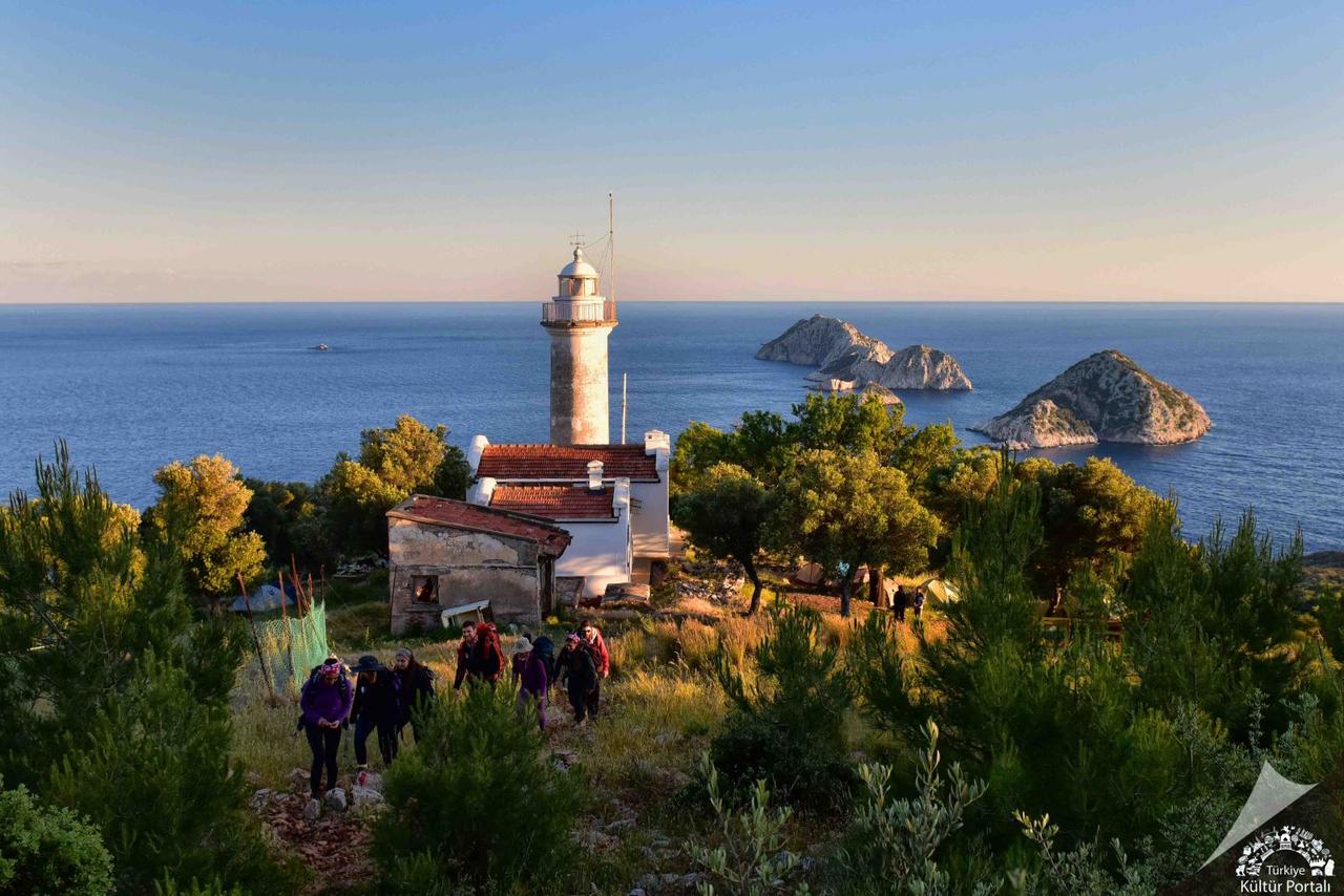
Gelidonya Feneri (Türkiye Kültür Portalı)
The Five Islands located off the coast in front of Gelidonya Lighthouse hold significant importance in maritime history. Among these islands, one of the oldest known shipwrecks in the history of global seafaring has been identified. This wreck is of considerable archaeological and maritime historical importance.
Located approximately three kilometers from Karaöz Bay in the southeast of the lighthouse, the Ancient City of Melanippe served as a small harbor settlement subordinate to the city of Gagai from the Hellenistic period onward. The ancient city was founded as a Greek colony during the Archaic period; its name derives from the Greek words melas (black) and hippos (horse). During the Middle Ages, the settlement was also known as Sanetus Stephanus or Karaozi. Remains of a three-aisled church dedicated to Saint Stephanos have been found in the harbor area, which served seafarers. The city’s walls, residential ruins, cisterns, and olive oil production facilities have survived to the present day. Although some sources mention the existence of a Temple of Athena within the city, no direct archaeological evidence of such a structure has been found. Additionally, underwater sarcophagi and ostothek remains have been discovered in the region.
“Gelidonya Feneri Havadan Görüntülendi.” Anadolu Ajansı. Accessed May 2025.https://www.aa.com.tr/tr/yasam/gelidonya-feneri-havadan-goruntulendi-/3115156
“Gelidonya Feneri.” Kültür Portalı. Accessed May 2025.https://www.kulturportali.gov.tr/turkiye/antalya/gezilecekyer/gelidonya-feneri-
“Pafta 22 Gelidonya Feneri - Melanippe.” *Likya Yolu.* Accessed May 2025.
“Taşlıkburnu Feneri.” Kıyı Emniyeti Genel Müdürlüğü. Accessed May 2025.https://www.kiyiemniyeti.gov.tr/yer-detay/450/TASLIKBURNU-FENERI?lang=2

Gelidonya Lighthouse
Location | Antalya Kumluca District Mavikent Neighborhood Within the boundaries of Beydağları Coastal National Park, Taşlık Cape (Gelidonya Cape) | ||||||||
|---|---|---|---|---|---|---|---|---|---|
Physical Characteristics | Türkiye's highest sea lighthouse, located 227 meters above sea level and 3 kilometers offshore on sharp cliffs | ||||||||
History | Construction: 1934-1936. Initial lighting: Kerosene. Electricity was introduced in 2017 using solar energy (solar inverter system) | ||||||||
Transportation | A popular spot for camping and nature photography Accessible by foot via the Lycian Way trail from Karaöz. Nature hiking | ||||||||
Environmental and Cultural Characteristics | An important stop on the Lycian Way route. The ancient city of Melanippe is nearby. Offers views of Beş Adalar and Suluada. One of the most significant shipwrecks in world maritime history is located at Beş Adalar | ||||||||
No Discussion Added Yet
Start discussion for "Gelidonya Lighthouse" article
History and Structural Features
Access and Environmental Conditions
Nature and Tourism
The Five Islands and Maritime History
Ancient City of Melanippe