This article was automatically translated from the original Turkish version.
Transportation(s) | Hiking route via Çamlıhemşin > Ayder Plateau > Upper Kavron Plateau. | ||||||||
|---|---|---|---|---|---|---|---|---|---|
Type(s) | Glacial cirque lake (one of Türkiye's largest glacial lakes). | ||||||||
Area(s) | 68 416 hectares | ||||||||
Elevation(s) | 910 meters. 900–2 Approximately 2 | ||||||||
Location | Rize Kavron Plateau area). Çamlıhemşin (Kaçkar Mountains | ||||||||
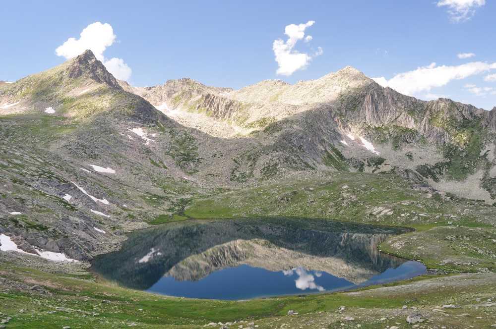
Büyükdeniz Gölü (also referred to in sources as Büyük Deniz Gölü) is a registered natural water body located within the boundaries of the Çamlıhemşin district of Rize province. Situated on the Kaçkar Mountains at the Kavron Yaylası location, it belongs to a group of cirque lakes found at elevations above 2400 meters in mountainous regions and is the largest of the glacial lakes in its basin.【1】
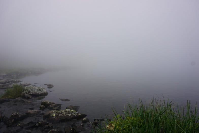
Büyükdeniz Gölü (Karadeniz Kültür Envanteri)
Büyükdeniz Gölü is a glacial cirque lake formed by glacial erosion and deposition processes in the high-altitude mountainous areas. Its water source is fed by glaciers. The rear of the lake is bordered by the Kaçkar mountain massif. The surrounding habitat supports various endemic plant species.
Geographic data indicate that the lake is located at coordinates 40.869° latitude and 41.161° longitude and is recorded under map sheet number G46a3. Topographically it lies on an upper slope at a 0 percent gradient on a southeast-facing flat area. Its elevation above sea level ranges between 2900 and 2910 meters according to sources. The lake’s measured dimensions are 694.54 meters in length 275.57 meters in width and 1019.34 meters in perimeter. According to inventory data its surface area is 68.416 hectares. There is one outflow channel that drains the lake’s waters.【2】
The primary access route to the lake which is approximately 35 kilometers from the Çamlıhemşin district center follows the Çamlıhemşin-Ayder Yaylası route. After reaching Ayder Yaylası travelers proceed to Yukarı Kavron Yaylası and then follow a footpath along the valley on the left side of the plateau to reach the lake. The duration of this hiking and climbing journey varies between two and five to six hours according to sources.
Given the route distance and natural conditions visitors are advised to carry at least one full day’s supply of food. Additionally due to the region’s topography additional elevation gain is required to reach the ridges surrounding the lake in order to conduct photographic observations.
Büyükdeniz Gölü is classified as a nature tourism site and is state-owned with legal status as a registered natural asset. Administratively it falls under the Çamlıhemşin Forest Management Unit within the Pazar Forest Management Directorate. Each year it is visited by numerous domestic and international tourists interested in mountain sports.
Tourism activities and human presence have resulted in tangible environmental impacts. Visitors have been observed lighting fires and leaving waste around the lake. Reports recommend installing directional warning signs to raise visitor awareness and promote more responsible behavior toward the environment in order to protect the area and minimize these impacts.【3】
Culture Portal. "Büyükdeniz Gölü - Rize." Ministry of Culture and Tourism of the Republic of Türkiye. Accessed April 24, 2026. https://www.kulturportali.gov.tr/turkiye/rize/gezilecekyer/buyukdeniz-golu
Karadeniz Kültür Envanteri. "Büyük Deniz Gölü." Accessed April 24, 2026. https://karadeniz.gov.tr/buyuk-deniz-golu/
T.C.Rize Valiliği. "Göller." Accessed April 24, 2026. https://rize.gov.tr/goller
[1]
Karadeniz Kültür Envanteri, “Büyük Deniz Gölü,” erişim 24 Nisan 2026, https://karadeniz.gov.tr/buyuk-deniz-golu/
[2]
Karadeniz Kültür Envanteri, “Büyük Deniz Gölü,” erişim 24 Nisan 2026, https://karadeniz.gov.tr/buyuk-deniz-golu/
[3]
Karadeniz Kültür Envanteri, “Büyük Deniz Gölü,” erişim 24 Nisan 2026, https://karadeniz.gov.tr/buyuk-deniz-golu/

Transportation(s) | Hiking route via Çamlıhemşin > Ayder Plateau > Upper Kavron Plateau. | ||||||||
|---|---|---|---|---|---|---|---|---|---|
Type(s) | Glacial cirque lake (one of Türkiye's largest glacial lakes). | ||||||||
Area(s) | 68 416 hectares | ||||||||
Elevation(s) | 910 meters. 900–2 Approximately 2 | ||||||||
Location | Rize Kavron Plateau area). Çamlıhemşin (Kaçkar Mountains | ||||||||
Physical Geographic and Geological Characteristics
Access and Logistics
Administrative Status Tourism and Environmental Impacts