`mapping` ile İlgili Madde Sonuçları
Geodesy
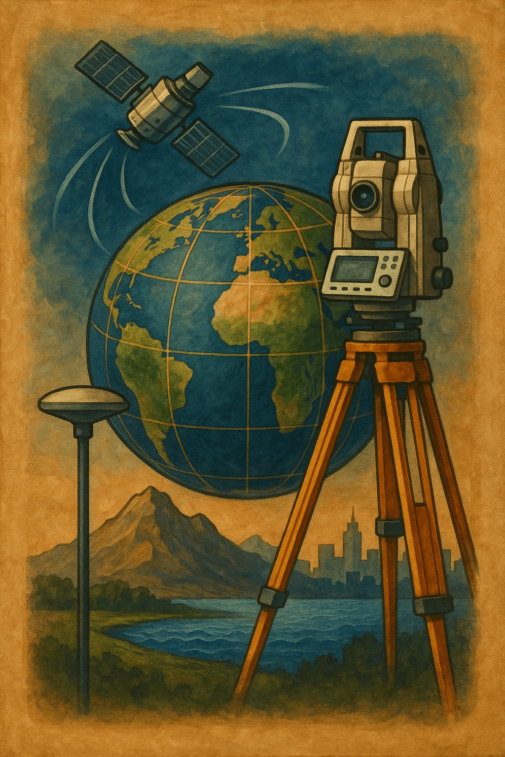
Geodesy is the scientific discipline concerned with the study of the Earth's geometric shape, dimensions, gravity field, and their temporal variations. In its classical form, geodesy was defined by F.R. Helmert in 1880 as the "science of the measurement and mapping of the Earth’s surface." This definition, which also includes the Earth's external gravity field and the ocean floor, has retained its relevance. In modern terms, it has been extended to include the temporal variations of the Earth an
EN
Salih Bozkurt

Triangulation Point
A triangulation point is a geodetic control point whose horizontal position has been precisely determined and physically marked on the ground. These points serve as fundamental references for the establishment of national coordinate systems, map production, and engineering applications.Triangulation Network and ClassificationTriangulation points are organized within horizontal control networks and are classified according to their order of accuracy and function:First-Order Triangulation Network:
ENSalih Bozkurt
 Li
LiLidar Technology
LiDAR (Light Detection and Ranging) is a technology used in remote sensing based on the principles of light detection and distance measurement. It is commonly referred to as airborne laser scanning systems or laser scanning systems. LiDAR is employed to obtain high-precision three-dimensional spatial data and digital elevation models (DEM).Principle of Operation and CharacteristicsLiDAR measures the time it takes for a laser pulse to travel to a target and reflect back to the sensor. This time i
EN
Ayşe İkbal Özsakın

Mind Map
Mind mapping is a graphical presentation technique developed by individuals to visualize, organize, and recall information about knowledge. This structure, in which concepts and ideas branch out from a central core idea, supports the externalization of perceptions, memories, and knowledge stored in the individual’s mind. Mind maps are used as a tool that supports cognitive functions across diverse fields, from individual learning processes to urban memory analyses.Historical DevelopmentThe mind
EN
Şevket Kaynar

AutoMapper
AutoMapper is an open-source library for the .NET platform that simplifies the transformation of data between objects (object-to-object mapping). It was developed by Jimmy Bogard in 2009. It automates conversions between data transfer objects (DTOs) and domain models used across different layers in software development, minimizing the need for manual code writing.Why Do We Need AutoMapper?In enterprise applications, database models (entities) and API models exposed to the external world (DTOs) a
EN
Ferhat Çakmakoğlu
AutoMapper
AutoMapper, .NET platformunda nesneler arasındaki verilerin dönüştürülmesini (object-to-object mapping) kolaylaştıran açık kaynaklı bir kütüphanedir. 2009 yılında Jimmy Bogard tarafından geliştirilmiştir. Yazılım geliştirme sürecinde farklı katmanlarda kullanılan veri transfer nesneleri (DTO – Data Transfer Object) ve domain modelleri arasındaki dönüşümleri otomatikleştirerek, manuel kod yazma ihtiyacını en aza indirmektedir.Neden AutoMapper'e İhtiyaç Duyarız?Kurumsal uygulamalarda çoğu zaman ve
TRFerhat Çakmakoğlu