`satellite-image` Related Article Results

Spatial Resolution in Satellite Images
Remote sensing is a technology based on the processing and interpretation of data collected from satellite, aircraft, or drone platforms using sensors that operate across various bands of the electromagnetic spectrum to obtain information about the Earth's surface. The success of these systems depends largely on the quality of their resolution components. In this context, spatial resolution — also known as geometric resolution — is crucial for determining the level of detail and the ability to d
EN
Betül Kırımlıoğlu
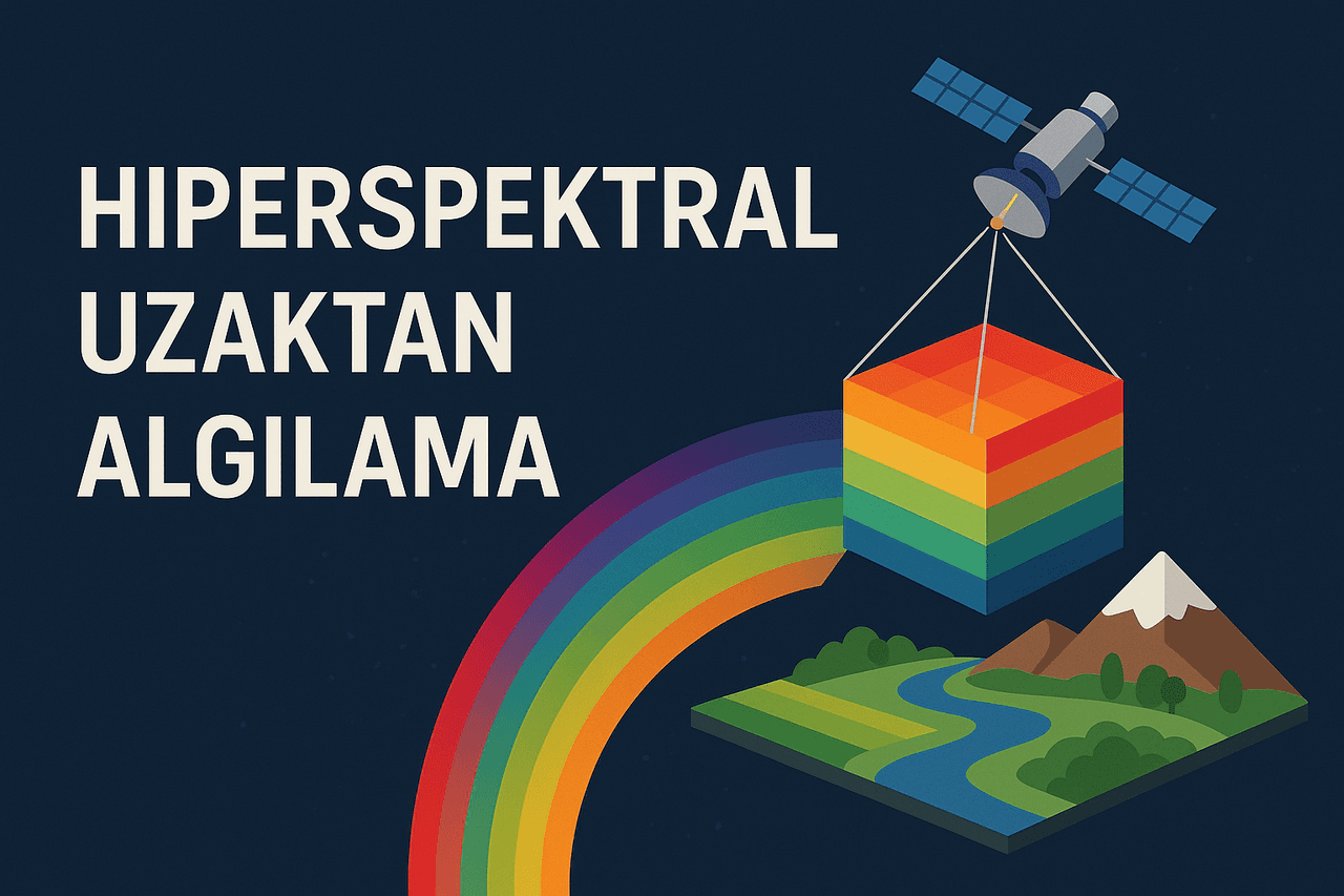
Hyperspectral Remote Sensing
Hyperspectral remote sensing is a remote sensing method that identifies the chemical and physical properties of objects by capturing detailed images across different wavelengths of the electromagnetic spectrum. This technique collects data across visible, infrared, and beyond spectral bands and is used in numerous fields including environmental monitoring, agriculture, mining, military applications, and urban planning. By revealing details invisible to the naked eye, hyperspectral remote sensing
ENBetül Kırımlıoğlu