`navigation` Related Article Results
 Av
AvAvionics Engineering
Aeronautical Engineering is an interdisciplinary engineering field that deals with the design, development, integration, testing, and maintenance of electronic systems used in aircraft (airplanes, helicopters, unmanned aerial vehicles) and spacecraft. The term "avionics" is derived from the combination of "aviation" and "electronics".This engineering discipline encompasses a wide range of electronic systems critical to the operation of aircraft or spacecraft.Main avionics systems and related are
EN
Ahmet Şişgin

GPS Module
The GPS (Global Positioning System) module is a sensor component in drone systems responsible for position determination and navigation. It precisely determines the drone’s location on Earth using signals received from satellites and transmits this data to the flight control system.Working PrincipleThe GPS module calculates a three-dimensional position by using signals from at least four different satellites. The device’s instantaneous location is determined based on the time delay between the s
EN
Ufuk Yarar
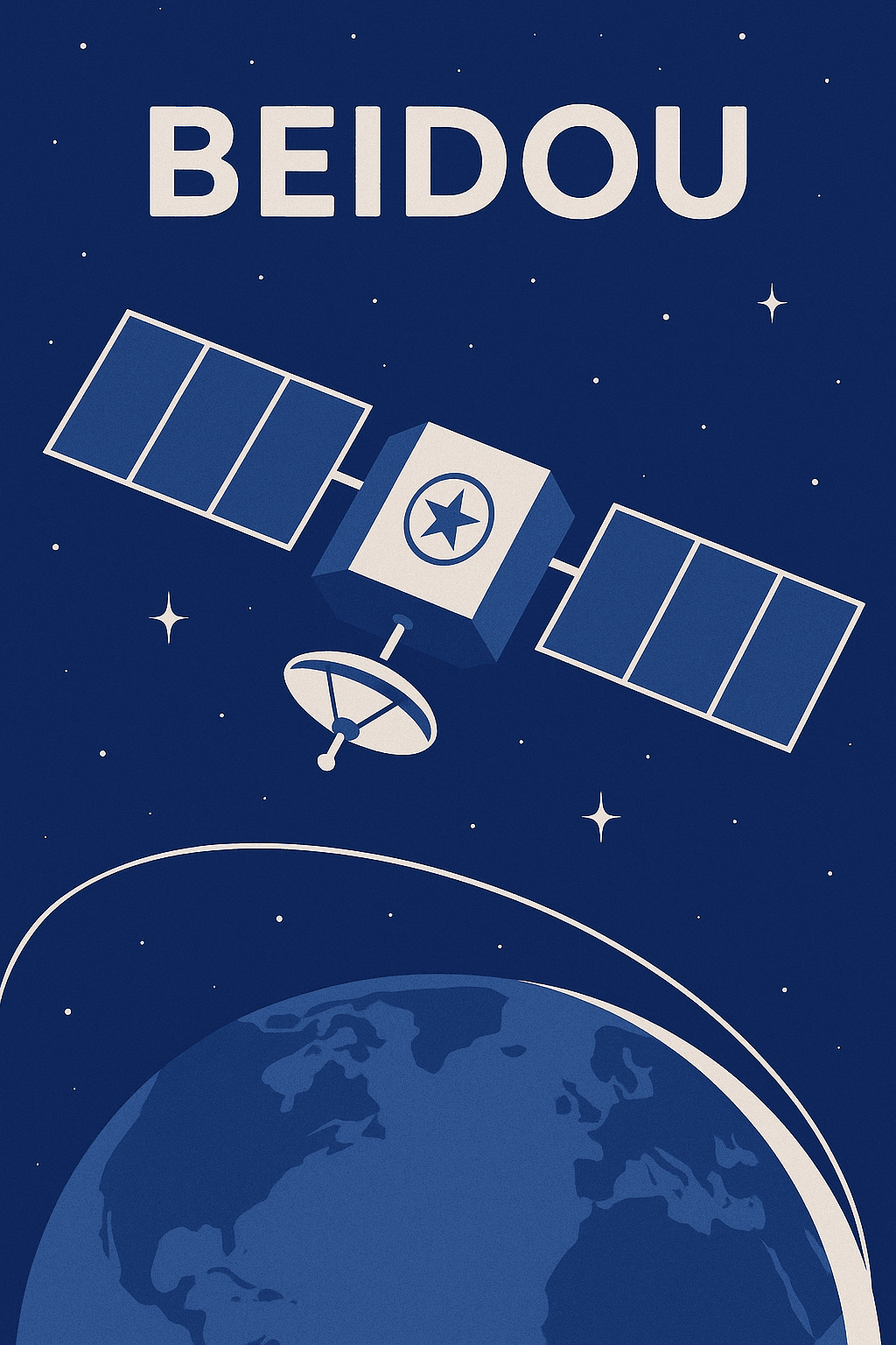
BeiDou Navigation System
BeiDou, officially known as the BeiDou Navigation Satellite System (BDS), is a global satellite navigation system developed and operated by the People’s Republic of China. The system is named after the traditional Chinese term for the "Big Dipper" constellation, which symbolizes guidance and orientation. Unlike GPS (USA), GLONASS (Russia), and Galileo (EU), BeiDou is designed to serve both civilian and military users, and it represents a strategic effort to achieve independence in satellite-base
EN
Hüsnü Umut Okur
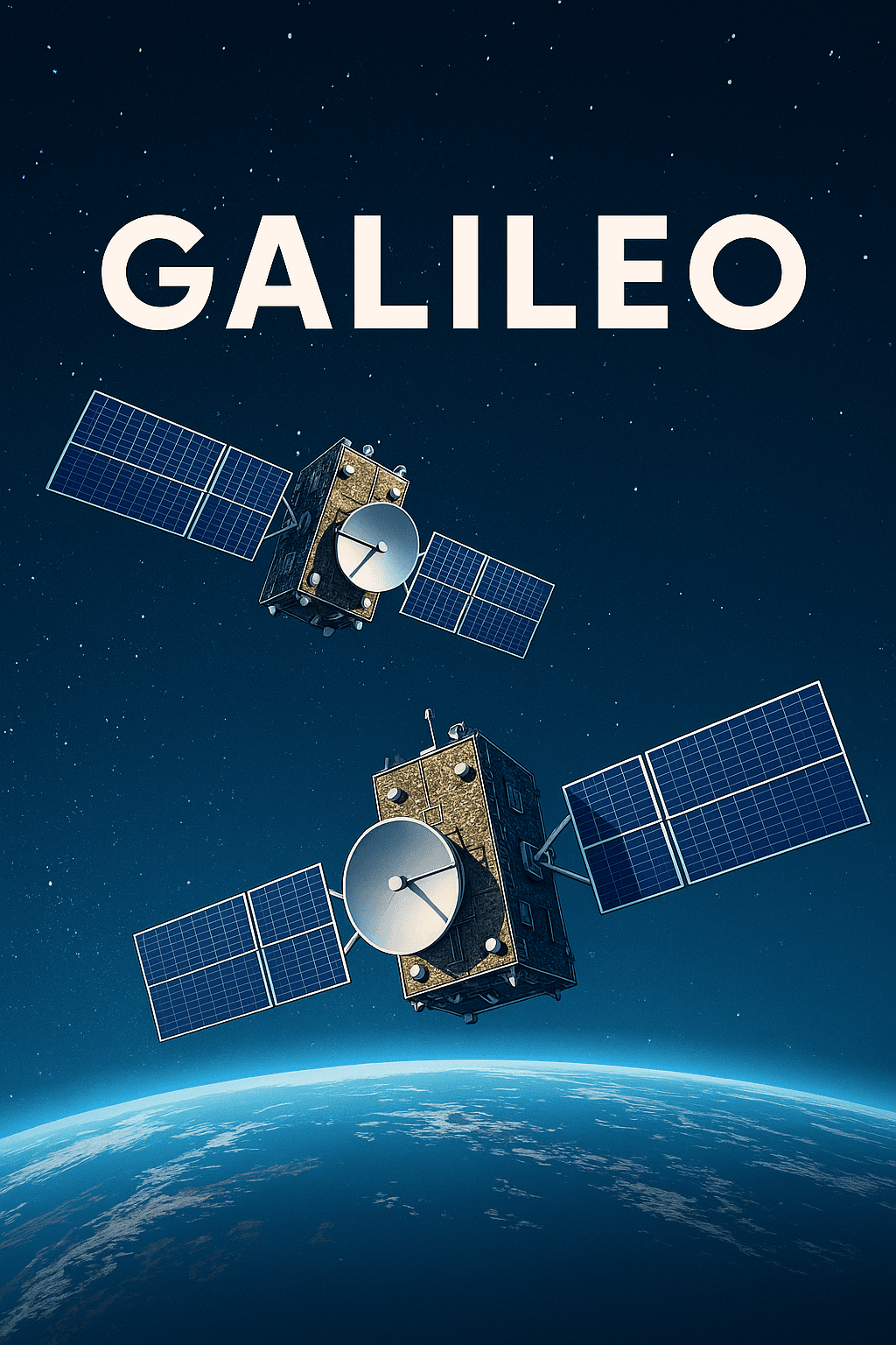
Galileo Positioning System
Galileo is a global navigation satellite system (GNSS) developed by the European Union and operated entirely under civilian control. In operation since 2016, it offers a high-accuracy and independent solution specifically tailored to Europe’s positioning and timing needs. Unlike the U.S.'s GPS and Russia’s GLONASS, Galileo is designed with civilian users in mind, marking a key point of differentiation.Today, over 3.5 billion devices worldwide benefit from Galileo signals. Thanks to its dual-freq
ENHüsnü Umut Okur

Non-Directional Radio Beacon (NDB)
Non-Directional Beacon (NDB) is one of the most fundamental ground-based navigation aids used in aviation. Its primary function is to provide aircraft with directional information via radio waves. This system, employed to enhance flight safety and ensure pilots remain on the correct course, continues to maintain its role among modern aviation technologies, particularly in low-visibility conditions, non-precision approaches, and as a backup system. NDB systems consist of fixed ground stations ope
ENBeyza Nur Türkü

Global Navigation Satellite System (GNSS)
The Global Navigation Satellite System (GNSS) is a general term for space-based positioning systems capable of providing position, velocity, and time information to users anywhere on the Earth's surface. GNSS consists of a constellation of satellites, a global ground control segment, and user receivers that together enable continuous, real-time, three-dimensional positioning capabilities.ComponentsA GNSS system comprises three major components:Space segment: Consists of satellites orbiting the E
EN
Salih Bozkurt
FlFlight Management System
The Flight Management System (FMS) is an indispensable part of the modern aviation industry. It is an integrated computer system that ensures aircraft fly safely and efficiently along their planned routes. The FMS assists pilots in creating flight plans, tracking the route during flight, and optimizing fuel consumption.The FMS combines various functions such as flight planning, navigation, performance calculations, and autopilot control. By reducing the workload on pilots, the system enhances fl
ENBeyza Nur Türkü

Navigation Instruments
Aircraft travel instruments are systems that assist in determining the correct heading and location information during flight. These instruments are used to ensure safe aircraft maneuvering in airspace and to provide guidance during critical phases such as takeoff and movement and like. Some of the navigation instruments used in aircraft include ADF, DME, ILS, Localizer, Glide Path, Marker, NDB, VOR, TACAN, and VORTAC.ADF (Automatic Direction Finder)Working principle of Automatic Direction Finde
ENBeyza Nur Türkü

Global Positioning System (GPS)
The Global Positioning System (GPS) is a satellite-based navigation system developed by the United States Department of Defense that provides location, speed, and time information worldwide. Originally designed to meet military needs, the system has over time been opened for civilian use and has become an indispensable technology in many aspects of life. GPS consists of three main components: the space segment (satellites), the control segment (ground stations), and the user segment (receivers).
EN
Esma Oğuz

Pole Star (Polaris)
The star known as the North Star, Polaris, is a bright star located very close to Earth’s north celestial pole, causing it to appear nearly stationary in the night sky. At a distance of approximately 433 light years, this star is one of the most reliable indicators for determining direction in the northern hemisphere. Because Polaris lies almost directly along Earth’s rotational axis, its position in the sky remains unchanged throughout the year and consistently points north. This characteristic
EN
Pelin Kılıç