`karagol-plateau` Related Article Results
Karagöl Plateau (Giresun)
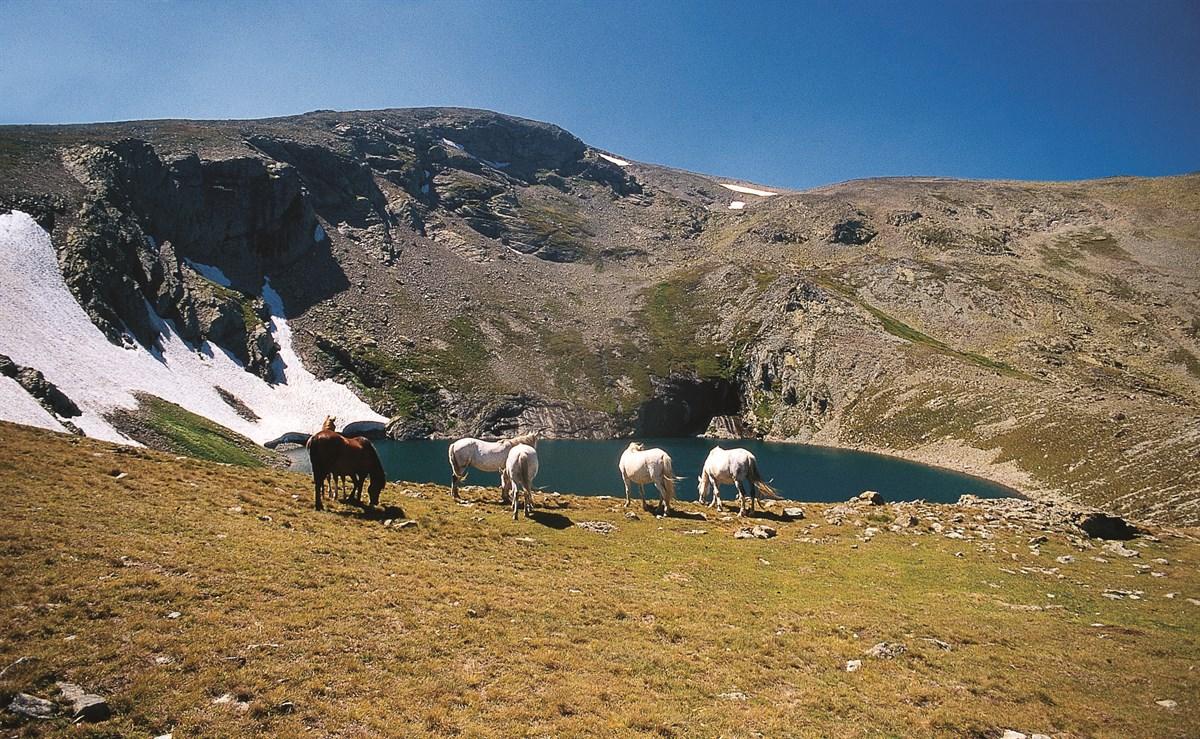
Karagöl Yaylası is located in northeastern Türkiye, within the Eastern Black Sea Region, under the administrative boundaries of Giresun Province, atop the Giresun Mountains. The plateau is situated near the tripoint of Giresun, Ordu, and Sivas provinces, on the northern slopes of Karagöl Mountain. Karagöl Mountain, with an elevation of 3,275 metres, is the second highest peak in the region. The altitude of the plateau ranges approximately between 1,800 and 2,000 metres above sea level.Geomorphol
EN
Nursena Güller

Karagöl Plateau (Sakarya)
Karagöl Yaylası is located approximately 21 kilometers northeast of the Taraklı district in Sakarya Province, Türkiye, on the extensions of the Samanlı Mountains. Situated at an elevation of about 1,200 meters above sea level, the plateau covers an area of 567 hectares.Geography and Natural FeaturesKaragöl Yaylası is covered with pine, beech, fir, oak and hornbeam trees, with specimens in the area reaching ages of 150 to 200 years, heights of 17 meters and trunk circumferences of 4.5 meters. In
EN
Zelal Çakar