`geomatics` Related Article Results

Global Navigation Satellite System (GNSS)
The Global Navigation Satellite System (GNSS) is a general term for space-based positioning systems capable of providing position, velocity, and time information to users anywhere on the Earth's surface. GNSS consists of a constellation of satellites, a global ground control segment, and user receivers that together enable continuous, real-time, three-dimensional positioning capabilities.ComponentsA GNSS system comprises three major components:Space segment: Consists of satellites orbiting the E
EN
Salih Bozkurt

Triangulation Point
A triangulation point is a geodetic control point whose horizontal position has been precisely determined and physically marked on the ground. These points serve as fundamental references for the establishment of national coordinate systems, map production, and engineering applications.Triangulation Network and ClassificationTriangulation points are organized within horizontal control networks and are classified according to their order of accuracy and function:First-Order Triangulation Network:
ENSalih Bozkurt
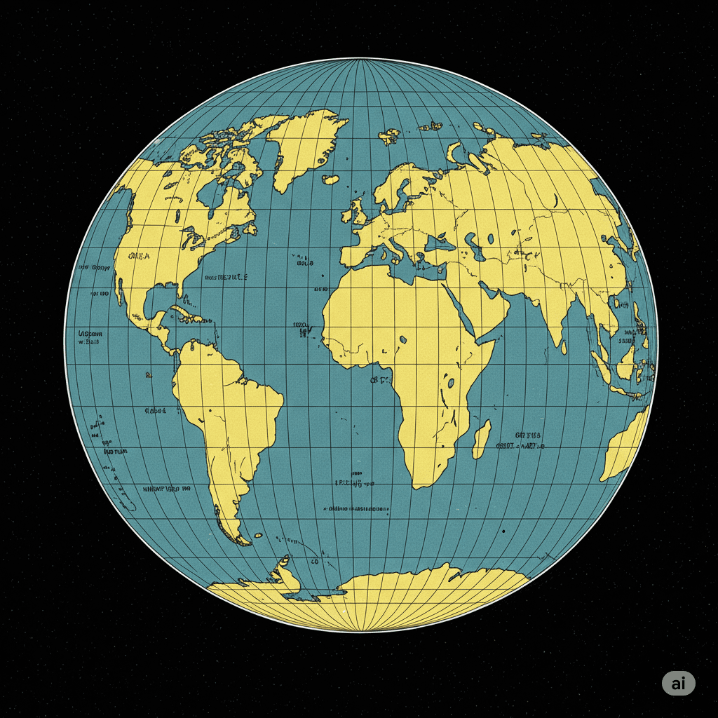
Gauss-Krüger Projection
The Gauss-Krüger projection is a transverse cylindrical projection that conformally (angle-preserving) maps the surface of the Earth ellipsoid onto a plane. This projection is scale-free along the central meridian and is primarily used to establish a plane rectangular coordinate system for geodetic applications.Historical DevelopmentThe foundation of this projection was laid by Carl Friedrich Gauss between 1820 and 1830 during his evaluation of triangulation results in Hanover. Gauss worked on a
ENSalih Bozkurt