`geodesy` Related Article Results

InSight Instrument
InSight (Interior Exploration using Seismic Investigations, Geodesy and Heat Transport) is a robotic NASA spacecraft designed to study the deep interior structure of Mars. InSight, the first rover specifically equipped to “look beneath” Mars’ surface, aimed to measure the planet’s vital signs—its pulse (seismology), temperature (heat flow), and reflexes (geodesy). Launched on 5 May 2018, the spacecraft successfully landed on Mars on 26 November 2018 and concluded its mission in December 2022.Sci
EN
Erhan Şencan

Global Navigation Satellite System (GNSS)
The Global Navigation Satellite System (GNSS) is a general term for space-based positioning systems capable of providing position, velocity, and time information to users anywhere on the Earth's surface. GNSS consists of a constellation of satellites, a global ground control segment, and user receivers that together enable continuous, real-time, three-dimensional positioning capabilities.ComponentsA GNSS system comprises three major components:Space segment: Consists of satellites orbiting the E
EN
Salih Bozkurt
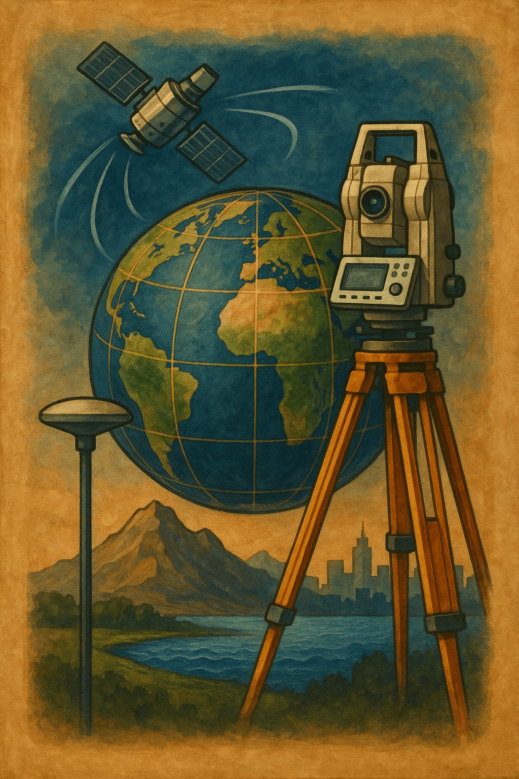
Geodesy
Geodesy is the scientific discipline concerned with the study of the Earth's geometric shape, dimensions, gravity field, and their temporal variations. In its classical form, geodesy was defined by F.R. Helmert in 1880 as the "science of the measurement and mapping of the Earth’s surface." This definition, which also includes the Earth's external gravity field and the ocean floor, has retained its relevance. In modern terms, it has been extended to include the temporal variations of the Earth an
ENSalih Bozkurt
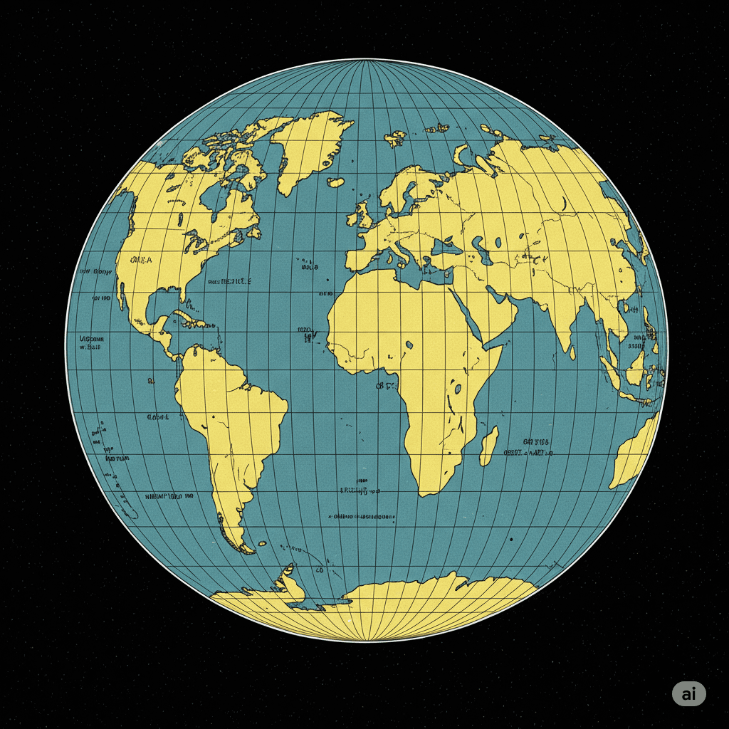
Gauss-Krüger Projection
The Gauss-Krüger projection is a transverse cylindrical projection that conformally (angle-preserving) maps the surface of the Earth ellipsoid onto a plane. This projection is scale-free along the central meridian and is primarily used to establish a plane rectangular coordinate system for geodetic applications.Historical DevelopmentThe foundation of this projection was laid by Carl Friedrich Gauss between 1820 and 1830 during his evaluation of triangulation results in Hanover. Gauss worked on a
ENSalih Bozkurt

Geomatics Engineering
Geomatics EngineeringTürkiye'de bulunan bazı üniversitelerde Harita Mühendisliği adı altında da eğitim verilmektedir. Uluslararası camiada Geomatik Mühendisliği (Geomatics Engineering) olarak geçmektedir.">【1】 is the engineering discipline concerned with the acquisition, processing, analysis, management, and presentation of spatial (geographic) data related to the Earth's surface and objects associated with it. This field encompasses a broad range of technological tools and methods, starting
ENSalih Bozkurt