

`ballikoy-yaylasi` Related Article Results
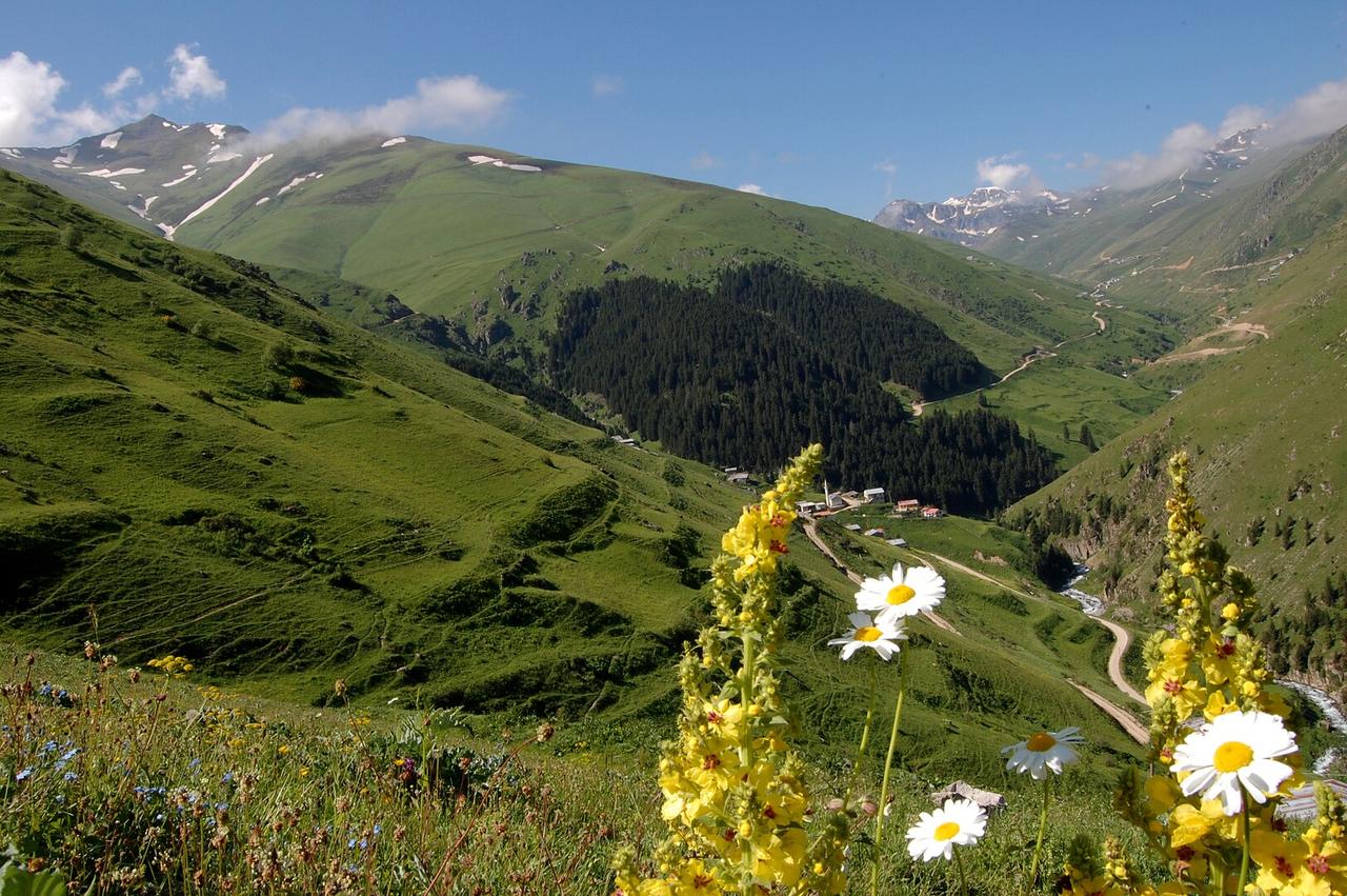
Anzer (Ballıköy) Pasture
Geographical Location and Physical Structure Anzer Plateau is located within the boundaries of Ballıköy (formerly known as Anzer), in the İkizdere district of Rize province, in the Black Sea Region of Türkiye. Situated at an average elevation of 2100 meters above sea level, the plateau lies southwest of the İkizdere district center and is embedded in a mountainous topography. Anzer Plateau is surrounded by Ovit Mountain to the east, extensions of the Kaçkar Mountains to the west, and the İkizder
EN
Elyesa Köseoğlu
Anzer (Ballıköy) Yaylası
Coğrafi Konum ve Fiziki Yapı Anzer Yaylası, Türkiye'nin Karadeniz Bölgesi'nde, Rize ilinin İkizdere ilçesine bağlı Ballıköy (eski adıyla Anzer) sınırları içerisinde yer almaktadır. Deniz seviyesinden ortalama 2100 metre yükseklikte bulunan yayla, İkizdere ilçe merkezinin güneybatısında yer almakta ve dağlık bir topoğrafya içerisinde konumlanmaktadır. Anzer Yaylası, doğusunda Ovit Dağı, batısında Kaçkarlar’ın uzantıları ve kuzeyinde İkizdere Vadisi ile çevrilidir. Yayla, geniş çayır alanları, der
TRElyesa Köseoğlu
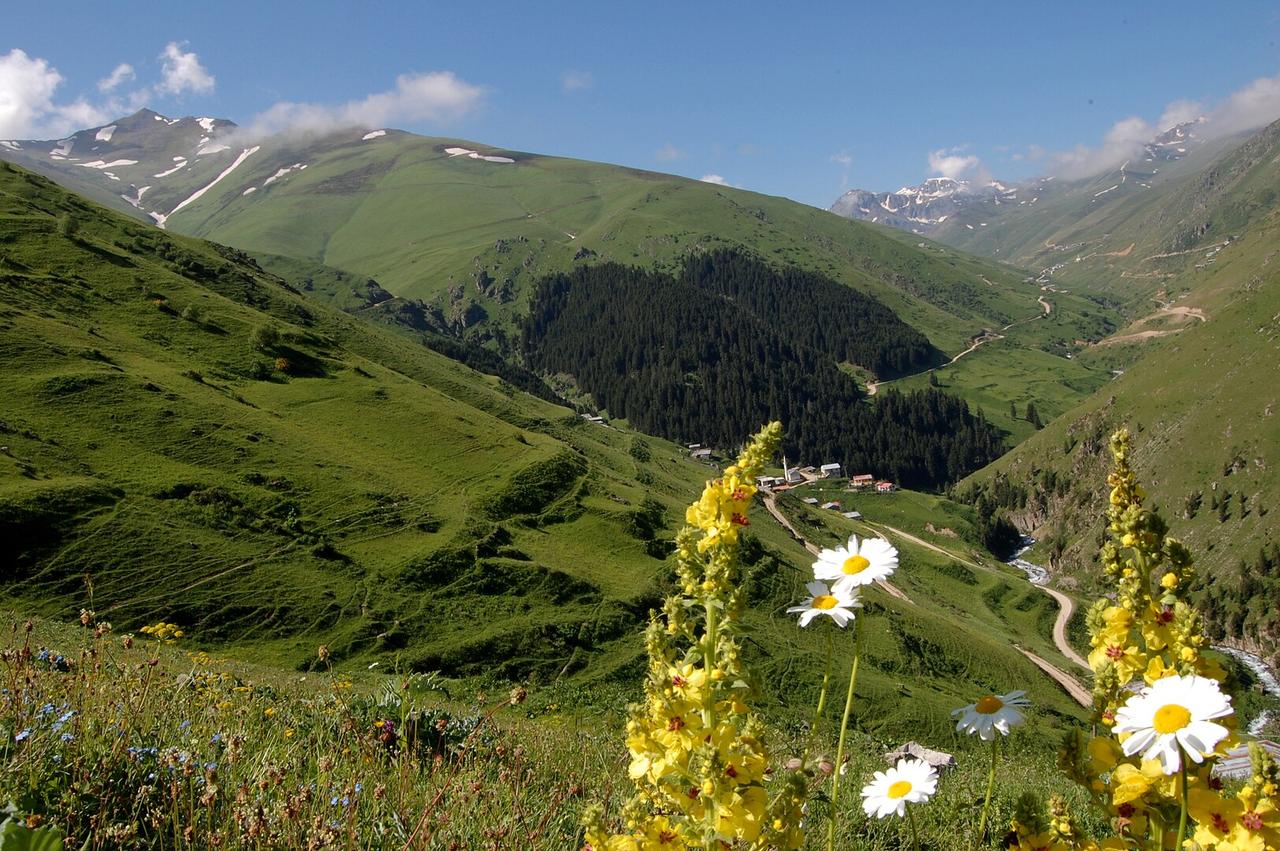
Anzer (Ballıköy) Pasture
Geographical Location and Physical Structure Anzer Plateau is located within the boundaries of Ballıköy (formerly known as Anzer), in the İkizdere district of Rize province, Black Sea Region, Türkiye. Situated at an average elevation of 2100 metres above sea level, the plateau lies southwest of the İkizdere district centre and is embedded within a mountainous topography. Anzer Plateau is surrounded by Ovit Mountain to the east, the extensions of the Kaçkar Mountains to the west, and the İkizdere
ENElyesa Köseoğlu