

Nurhak (District)
Have you ever heard of a city named after a majestic mountain that shines like silver?
The Ancient City at the Foot of Nurhak Nur Mountain
Nurhak, located in the northeast of Kahramanmaraş and nestled among the clouds, is precisely such a place. Let us explore together this high and cool district, once traversed by the historic Silk Road!
A Geography Cradled by Mountains and Rivers
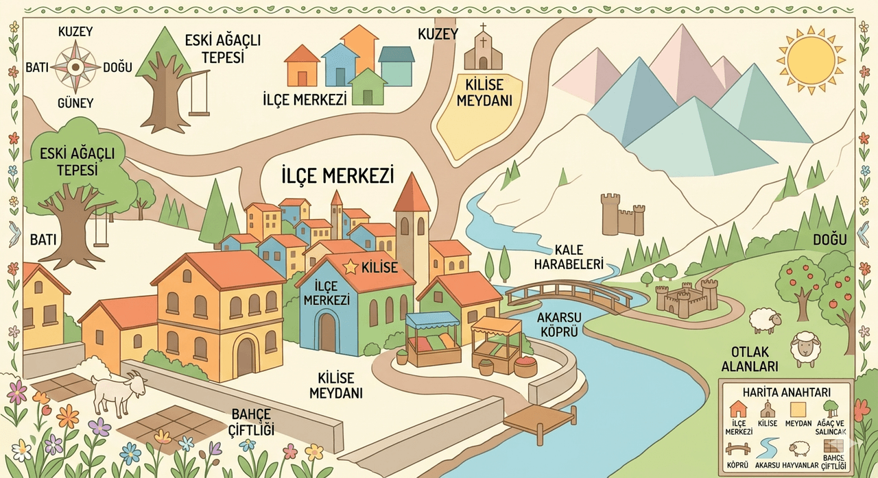
Nurhak derives its name from the 3090 metre high Nurhak Mountain at its base. This is a very elevated region with an average elevation of around 1500 metres. The district is surrounded by forests of juniper and oak, nature’s gift to us.
Three significant rivers flow through its lands, sustaining life: Göksu Çayı, Değirmenderesi and Tatlar Deresi. Among Nurhak’s neighbours are the districts of Elbistan, Çağlayancerit and Ekinözü, as well as Doğanşehir in Malatya and Gölbaşı in Adıyaman.
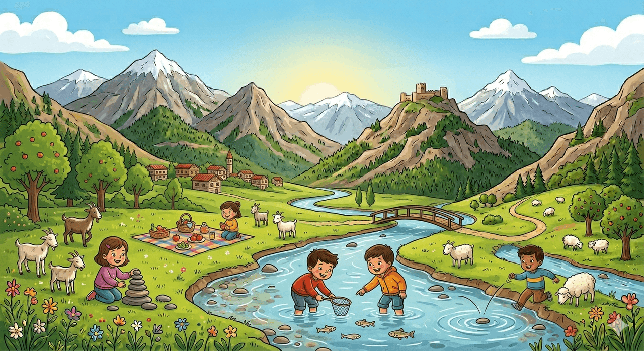
Göksu Çayı (generated by artificial intelligence)
Climate: White Winters and Hot Summers
A harsh continental climate dominates Nurhak. This means winters are very cold and snowy, while summers are hot and dry. The lowest temperature recorded in the district is -35 degrees, and the highest reaches 38 degrees. Rainfall is most abundant in spring and autumn, when nature awakens and turns lush green.
Cultural Heritage and Social Life
Nurhak offers visitors a variety of attractions through its historical structures and social facilities. In particular, Tatlar Village is one of the most visited places in the district, home to the historic Kamereddin Hanı. Additionally, Nurhak Memory Forest is an important destination for those seeking to spend time immersed in nature, featuring a small pond and resting areas.
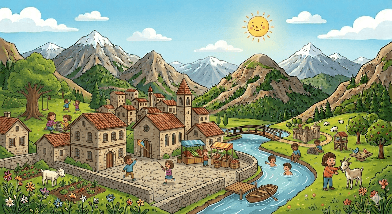
Tatlar Village (generated by artificial intelligence)
Sports activities are also valued in the district. The Nurhak Municipality Sports Club encourages young people to engage in sports such as football, promoting a healthy lifestyle. Social facilities and parks located in the town centre provide safe spaces for children to play.
A Journey Through Time
Let us take a look at key milestones in Nurhak’s thousands-of-years-long history:
- Ancient Times: As a stop along the historic Silk Road, Nurhak served as a resting place for caravans.
- Era of Beyliks and Empires: Successively, the Ilkhanate, the Anatolian Seljuk State, the Dulkadir Beylik, and the Ottoman Empire ruled the region.
- After 1923: In the early years of the Republic, it remained a village under the district of Elbistan.
- 16 May 1971: With the establishment of its municipal organization, it gained the status of belde.
- 20 May 1990: Officially elevated to district status by a law published in the Official Gazette.