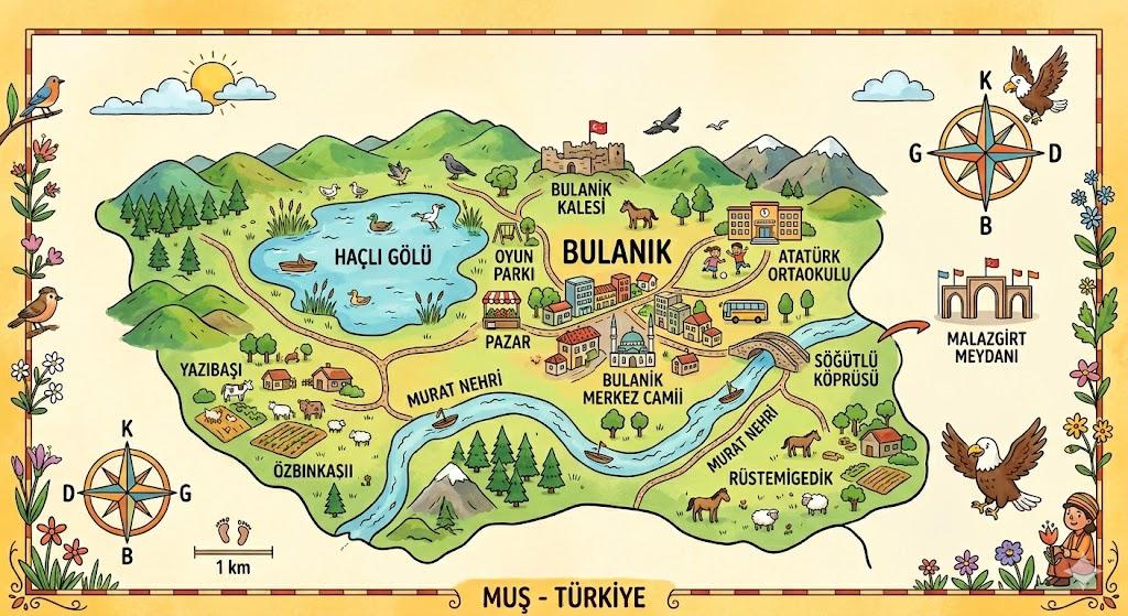


Bulancak (District)
Bulanık, the largest district of Muş province, is a uniquely named place derived from the color of its waters. Are you ready to explore this mountainous region where snow and ice are never in short supply?
Where is Bulanık?
Bulanık is located in the Eastern Anatolia Region approximately 105 kilometers from the city center of Muş. It is bordered by neighboring districts such as Malazgirt Varto Hınıs and Ahlat. It lies at an elevation of exactly 1480 meters above sea level and its terrain is generally flat.
Why Do Its Waters Flow Murky?
The district’s name comes from the waters of Haçlı Gölü (Kazan Gölü) within its boundaries. The pristine waters flowing from the mountains mix with soil upon reaching the lake causing them to turn murky. This lake was formed when lava flows from Kızkopan Volcano a dormant volcano blocked their path.
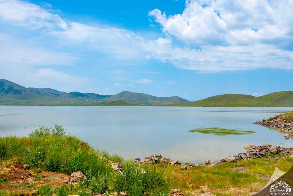
Haçlı Gölü (Kültür Portali)
What Is the Climate Like in Bulanık?
Summers here are hot and dry while winters are very cold and snowy. The ground is covered in snow for approximately 130 days of the year. Winter temperatures drop so low that the surface of Haçlı Gölü freezes completely allowing people to walk on it.
How Do People Make a Living?
The main sources of livelihood for the people of Bulanık are agriculture and animal husbandry. Wheat barley sunflower and sugar beet are the most commonly cultivated crops in the fields. Cattle and sheep are also raised on the pastures.
A Journey Through Time
The ancient name of Bulanık was "Kop". This area has been inhabited since around 3000 BCE that is approximately 5000 years ago. In the past large states such as the Urartians and the Seljuks ruled this region.